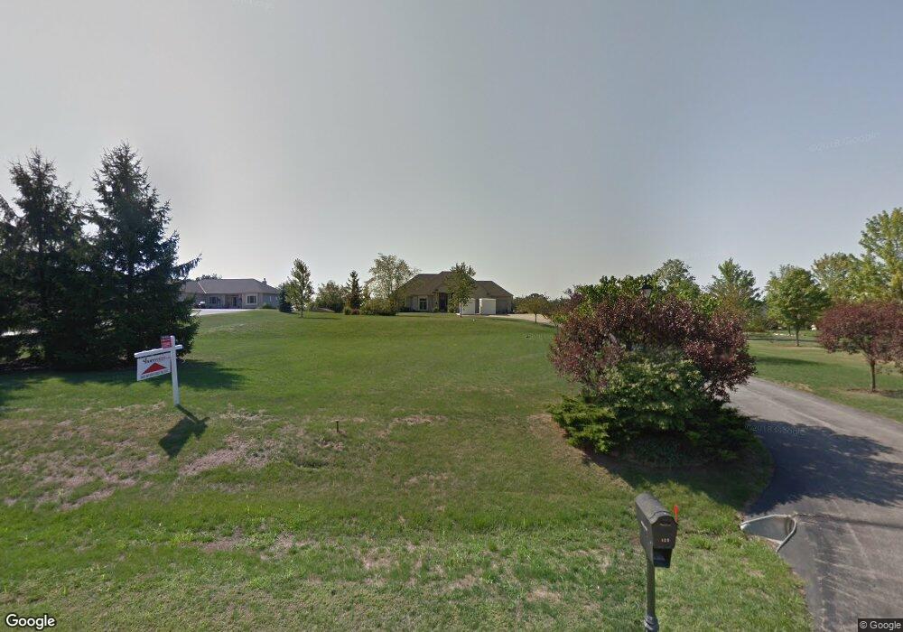
122 Ferris Dr North Prairie, WI 53153
Estimated Value: $701,000 - $817,000
--
Bed
--
Bath
--
Sq Ft
1.66
Acres
About This Home
This home is located at 122 Ferris Dr, North Prairie, WI 53153 and is currently estimated at $758,347. 122 Ferris Dr is a home located in Waukesha County with nearby schools including Prairie View Elementary School, Park View Middle School, and Mukwonago High School.
Ownership History
Date
Name
Owned For
Owner Type
Purchase Details
Closed on
Aug 30, 2012
Sold by
Balzer Mark R and Balzer Nicole L
Bought by
Christensen Kyle J and Christensen Kristin M
Current Estimated Value
Home Financials for this Owner
Home Financials are based on the most recent Mortgage that was taken out on this home.
Original Mortgage
$367,200
Outstanding Balance
$158,975
Interest Rate
3.56%
Mortgage Type
New Conventional
Estimated Equity
$599,372
Create a Home Valuation Report for This Property
The Home Valuation Report is an in-depth analysis detailing your home's value as well as a comparison with similar homes in the area
Home Values in the Area
Average Home Value in this Area
Purchase History
| Date | Buyer | Sale Price | Title Company |
|---|---|---|---|
| Christensen Kyle J | $408,000 | None Available |
Source: Public Records
Mortgage History
| Date | Status | Borrower | Loan Amount |
|---|---|---|---|
| Open | Christensen Kyle J | $367,200 |
Source: Public Records
Tax History Compared to Growth
Tax History
| Year | Tax Paid | Tax Assessment Tax Assessment Total Assessment is a certain percentage of the fair market value that is determined by local assessors to be the total taxable value of land and additions on the property. | Land | Improvement |
|---|---|---|---|---|
| 2024 | $6,087 | $561,500 | $105,000 | $456,500 |
| 2023 | $6,047 | $561,500 | $105,000 | $456,500 |
| 2022 | $5,866 | $561,500 | $105,000 | $456,500 |
| 2021 | $6,155 | $561,500 | $105,000 | $456,500 |
| 2020 | $5,694 | $384,600 | $78,900 | $305,700 |
| 2019 | $5,235 | $384,600 | $78,900 | $305,700 |
| 2018 | $4,996 | $384,600 | $78,900 | $305,700 |
| 2017 | $5,337 | $384,600 | $78,900 | $305,700 |
| 2016 | $5,474 | $384,600 | $78,900 | $305,700 |
| 2015 | $5,462 | $384,600 | $78,900 | $305,700 |
| 2014 | $5,842 | $384,600 | $78,900 | $305,700 |
| 2013 | $5,842 | $384,600 | $78,900 | $305,700 |
Source: Public Records
Map
Nearby Homes
- 203 S Oakridge Dr
- W327S6938 Ashton Way
- 212 W State Rd
- W330S7098 County Rd E
- Lt1 County Rd E
- S75W32101 Paul Ln
- 214 Cypress Point
- N9607 Wisconsin 83
- W307S4689 Wisconsin 83
- W309S8296 County Road I
- S56W29680 Roanoke Dr
- S42W31526 Depot Rd
- W321S4019 Sadie Ln
- W338S4370 Drumlin Dr
- W324S4055 Bartell Ct
- S56W29541 Roanoke Dr
- S77W29967 Crossgate Dr
- S44W34008 Deerpark Dr
- S40W31356 Johns Way
- W292S5474 Fox Run Ct