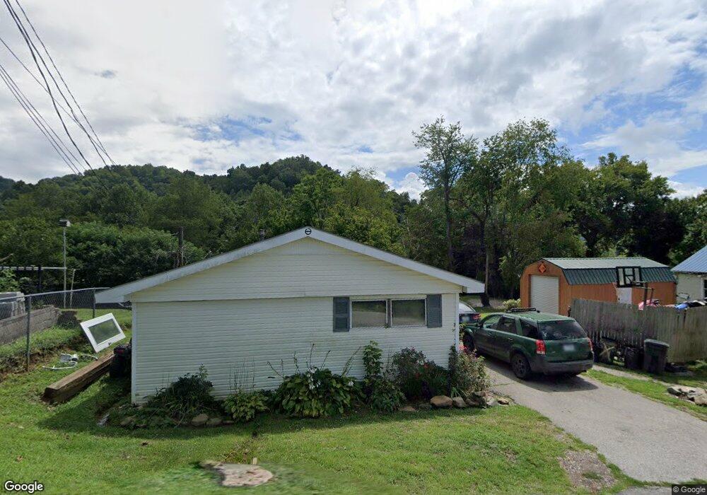
122 Oak St Manchester, KY 40962
Estimated Value: $67,000 - $159,000
2
Beds
2
Baths
720
Sq Ft
$157/Sq Ft
Est. Value
About This Home
This home is located at 122 Oak St, Manchester, KY 40962 and is currently estimated at $113,000, approximately $156 per square foot. 122 Oak St is a home located in Clay County with nearby schools including Clay County High School and Manchester Christian Academy.
Ownership History
Date
Name
Owned For
Owner Type
Purchase Details
Closed on
Dec 11, 2023
Sold by
Brown Burns Katina
Bought by
Wallace Damian and Wallace Maria
Current Estimated Value
Purchase Details
Closed on
Aug 19, 2022
Sold by
Dgs Devleopment Ltd
Bought by
Eversole Matthew T
Home Financials for this Owner
Home Financials are based on the most recent Mortgage that was taken out on this home.
Original Mortgage
$27,900
Interest Rate
4.55%
Purchase Details
Closed on
Sep 27, 2005
Sold by
Lyttle Christine
Bought by
Eversole Jeff and Eversole Alberta
Home Financials for this Owner
Home Financials are based on the most recent Mortgage that was taken out on this home.
Original Mortgage
$33,000
Interest Rate
5.86%
Mortgage Type
New Conventional
Create a Home Valuation Report for This Property
The Home Valuation Report is an in-depth analysis detailing your home's value as well as a comparison with similar homes in the area
Home Values in the Area
Average Home Value in this Area
Purchase History
| Date | Buyer | Sale Price | Title Company |
|---|---|---|---|
| Wallace Damian | $108,000 | Kentucky Mountain Land Title | |
| Wallace Damian | $108,000 | Kentucky Mountain Land Title | |
| Eversole Matthew T | $29,900 | -- | |
| Eversole Jeff | $25,000 | None Available |
Source: Public Records
Mortgage History
| Date | Status | Borrower | Loan Amount |
|---|---|---|---|
| Previous Owner | Eversole Matthew T | $27,900 | |
| Previous Owner | Eversole Jeff | $33,000 |
Source: Public Records
Tax History Compared to Growth
Tax History
| Year | Tax Paid | Tax Assessment Tax Assessment Total Assessment is a certain percentage of the fair market value that is determined by local assessors to be the total taxable value of land and additions on the property. | Land | Improvement |
|---|---|---|---|---|
| 2024 | -- | $0 | $0 | $0 |
| 2023 | $0 | $39,300 | $0 | $0 |
| 2022 | $0 | $39,300 | $0 | $0 |
| 2021 | $0 | $39,300 | $0 | $0 |
| 2020 | $0 | $25,000 | $0 | $0 |
| 2019 | $0 | $21,000 | $0 | $0 |
| 2018 | $0 | $25,000 | $0 | $0 |
| 2017 | -- | $0 | $0 | $0 |
| 2016 | -- | $0 | $0 | $0 |
| 2015 | -- | $0 | $0 | $0 |
| 2014 | -- | $0 | $0 | $0 |
| 2013 | -- | $0 | $0 | $0 |
Source: Public Records
Map
Nearby Homes
- 102 Locust St
- 239 Railroad Ave
- 1 Kentucky 11
- 8549 Us Highway 421
- 0 Kentucky 11
- 307 River St
- 00 Hwy 421 Richmond Rd
- 111 House Ave
- 9999 Memorial Dr
- 799 Coal Hollow Rd
- 2251 U S 421
- 91 Jones St
- 000 Jackson Smith Rd
- 85 Blackwell Dr
- 0 Jackson Smith Rd
- 55 Whispering Oaks Ln
- 56 Whispering Oaks Ln
- 27 Smith Hollow Rd
- 215 Colony Rd
- 198 Crawford Isom Rd