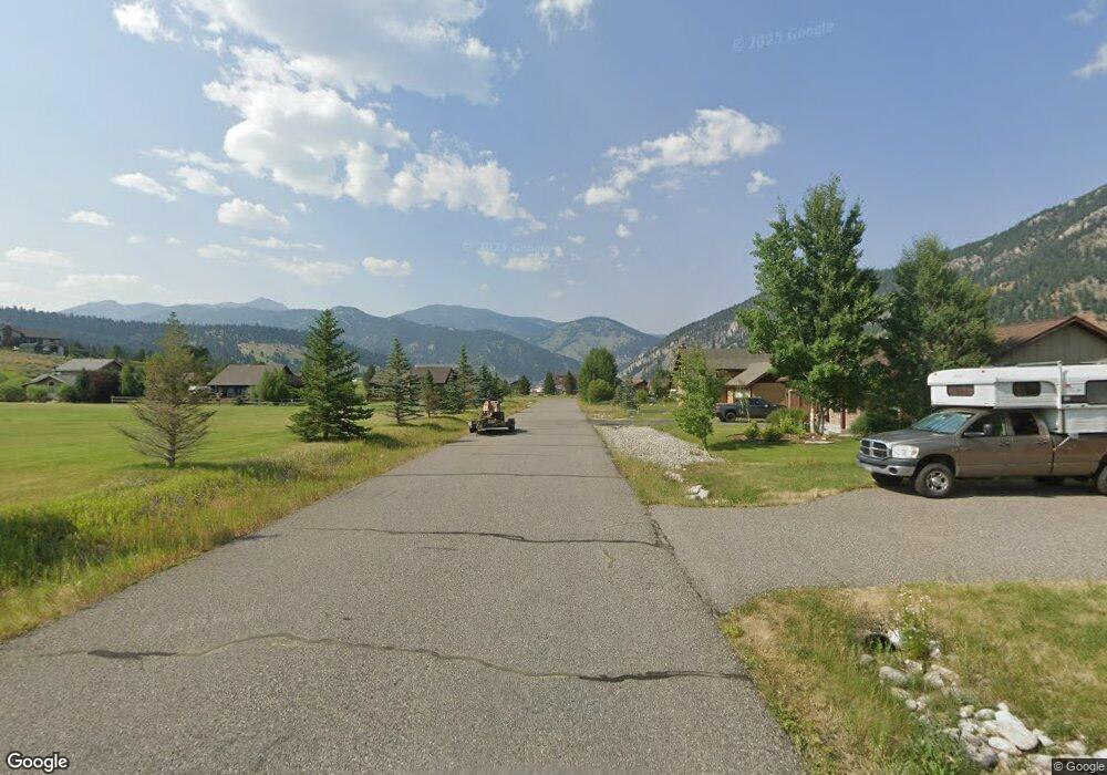
122 Sawtooth Dr Gallatin Gateway, MT 59730
Big Sky NeighborhoodEstimated Value: $1,325,757 - $1,933,000
4
Beds
3
Baths
2,064
Sq Ft
$761/Sq Ft
Est. Value
About This Home
This home is located at 122 Sawtooth Dr, Gallatin Gateway, MT 59730 and is currently estimated at $1,570,939, approximately $761 per square foot. 122 Sawtooth Dr is a home located in Gallatin County with nearby schools including Ophir Elementary School, Ophir Junior High School, and Lone Peak High School.
Ownership History
Date
Name
Owned For
Owner Type
Purchase Details
Closed on
Nov 29, 2022
Sold by
Big Sky Community Housing Trust
Bought by
Wilson Christopher
Current Estimated Value
Purchase Details
Closed on
Jul 25, 2007
Sold by
Jennings Jonathon C
Bought by
Wilson Christopher J and Wilson Vanessa A
Home Financials for this Owner
Home Financials are based on the most recent Mortgage that was taken out on this home.
Original Mortgage
$320,000
Interest Rate
6.73%
Mortgage Type
Purchase Money Mortgage
Create a Home Valuation Report for This Property
The Home Valuation Report is an in-depth analysis detailing your home's value as well as a comparison with similar homes in the area
Home Values in the Area
Average Home Value in this Area
Purchase History
| Date | Buyer | Sale Price | Title Company |
|---|---|---|---|
| Wilson Christopher | -- | Montana Title | |
| Wilson Christopher J | -- | American Land Title Company |
Source: Public Records
Mortgage History
| Date | Status | Borrower | Loan Amount |
|---|---|---|---|
| Previous Owner | Wilson Christopher J | $320,000 |
Source: Public Records
Tax History Compared to Growth
Tax History
| Year | Tax Paid | Tax Assessment Tax Assessment Total Assessment is a certain percentage of the fair market value that is determined by local assessors to be the total taxable value of land and additions on the property. | Land | Improvement |
|---|---|---|---|---|
| 2025 | $4,577 | $1,396,600 | $0 | $0 |
| 2024 | $6,012 | $1,365,700 | $0 | $0 |
| 2023 | $5,809 | $1,365,700 | $0 | $0 |
| 2022 | $4,495 | $687,900 | $0 | $0 |
| 2021 | $4,385 | $687,900 | $0 | $0 |
| 2020 | $3,606 | $557,900 | $0 | $0 |
| 2019 | $3,298 | $557,900 | $0 | $0 |
| 2018 | $2,960 | $460,200 | $0 | $0 |
| 2017 | $2,782 | $460,200 | $0 | $0 |
| 2016 | $2,808 | $385,100 | $0 | $0 |
| 2015 | $2,778 | $385,100 | $0 | $0 |
| 2014 | $2,694 | $231,769 | $0 | $0 |
Source: Public Records
Map
Nearby Homes
- TBD Sawtooth Rd Unit Lot 21
- 200 Misty Mountain Ct
- 100 Misty Mountain Ct Unit 100
- 90 Misty Mountain Ct Unit 90
- 80 Misty Mountain Ct Unit 80
- 330 Stellar Jay Way
- Lot 2 Riverview Ln
- Lot 30 Colters Run Loop
- Lot 18 Colters Run Loop
- Lot 32 Colters Run Loop
- Lot 29 Colters Run Loop
- Lot 28 Colters Run Loop
- Lot 31 Colters Run Loop
- 715 Colters Run Loop
- 141 Black Wolf Ridge
- 238 Great Gray Hollow
- 37 Talus Trail
- 60 Big Sky Resort Rd
- 60 Big Sky Resort Rd Unit 10,314
- 60 Big Sky Resort Rd Unit 10,608
- 128 Sawtooth Dr
- 165 Sawthooth
- 152 Sawtooth Dr
- TBD Sawtooth Rd Unit Lot 19
- TBD Sawtooth Rd Unit Lot 16
- TBD Sawtooth Rd Unit Lot 10
- TBD Sawtooth Rd Unit Lot 11
- TBD Sawtooth Rd Unit Lot 9
- 75 Blacktail Ln
- 62 Sawtooth Dr
- 55 Blacktail Ln
- 177 Sawtooth Dr
- 40 Sawtooth Dr
- 56 Blacktail Ln
- 37 Blacktail Ln
- 38 Blacktail Ln
- 16 Sawtooth Dr
- 17 Blacktail Ln
- 250 Silver Run Rd
- 212 Silver Run Rd