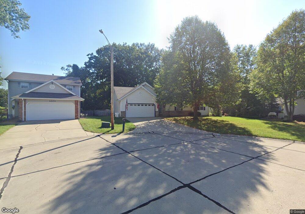
1220 Cedar Ridge Ct Collinsville, IL 62234
Estimated Value: $255,000 - $274,716
3
Beds
3
Baths
1,488
Sq Ft
$178/Sq Ft
Est. Value
About This Home
This home is located at 1220 Cedar Ridge Ct, Collinsville, IL 62234 and is currently estimated at $264,679, approximately $177 per square foot. 1220 Cedar Ridge Ct is a home located in Madison County with nearby schools including John A Renfro Elementary School, Dorris Intermediate School, and Collinsville Middle School.
Ownership History
Date
Name
Owned For
Owner Type
Purchase Details
Closed on
Nov 13, 2013
Sold by
Odell Robert Eugene and Odell Lori W
Bought by
May James Micah and May Nicole
Current Estimated Value
Home Financials for this Owner
Home Financials are based on the most recent Mortgage that was taken out on this home.
Original Mortgage
$147,096
Outstanding Balance
$109,784
Interest Rate
4.25%
Mortgage Type
VA
Estimated Equity
$154,895
Create a Home Valuation Report for This Property
The Home Valuation Report is an in-depth analysis detailing your home's value as well as a comparison with similar homes in the area
Home Values in the Area
Average Home Value in this Area
Purchase History
| Date | Buyer | Sale Price | Title Company |
|---|---|---|---|
| May James Micah | $144,000 | Abstracts & Titles Inc |
Source: Public Records
Mortgage History
| Date | Status | Borrower | Loan Amount |
|---|---|---|---|
| Open | May James Micah | $147,096 |
Source: Public Records
Tax History Compared to Growth
Tax History
| Year | Tax Paid | Tax Assessment Tax Assessment Total Assessment is a certain percentage of the fair market value that is determined by local assessors to be the total taxable value of land and additions on the property. | Land | Improvement |
|---|---|---|---|---|
| 2024 | $4,125 | $70,520 | $16,660 | $53,860 |
| 2023 | $4,125 | $65,270 | $15,420 | $49,850 |
| 2022 | $3,901 | $60,360 | $14,260 | $46,100 |
| 2021 | $3,548 | $57,360 | $13,500 | $43,860 |
| 2020 | $3,401 | $54,730 | $12,880 | $41,850 |
| 2019 | $3,297 | $52,860 | $12,440 | $40,420 |
| 2018 | $3,209 | $50,070 | $11,780 | $38,290 |
| 2017 | $3,206 | $49,080 | $11,550 | $37,530 |
| 2016 | $3,367 | $49,080 | $11,550 | $37,530 |
| 2015 | $4,228 | $47,800 | $11,250 | $36,550 |
| 2014 | $4,228 | $47,800 | $11,250 | $36,550 |
| 2013 | $4,228 | $47,800 | $11,250 | $36,550 |
Source: Public Records
Map
Nearby Homes
- 1224 Cedar Ridge Ct
- 414 Bunker Hill Dr
- 308 Brown Ave
- 1120 Williams St
- 22 Brookwood Dr
- 5 Brookwood Dr
- 1210 Constance St
- 0 N Keebler Ave
- 617 N Morrison Ave
- 203 Greenfield Dr
- 123 W Wickliffe Ave
- 0 Strong Ave
- 123 Elliot St
- 501 Spring
- 580 N Guernsey St
- 10 White Lily Dr
- 510 N Combs Ave
- 1121 Carraway Ct
- 706 Illinois Ave
- 919 Vine St
- 1217 Woodbridge St Unit 1219
- 1216 Cedar Ridge Ct
- 1216 Woodbridge St Unit 1218
- 1228 Cedar Ridge Ct
- 1212 Cedar Ridge Ct
- 1233 Cedar Ridge Ct
- 1213 Woodbridge St Unit 1215
- 1225 Cedar Ridge Ct
- 1221 Cedar Ridge Ct
- 1229 Cedar Ridge Ct
- 1208 Cedar Ridge Ct
- 1212 Woodbridge St Unit 1214
- 1209 Woodbridge St Unit 1211
- 1217 Cedar Ridge Ct
- 1208 Woodbridge St Unit 1210
- 210 Marie St
- 1201 Virginia St
- 1204 Cedar Ridge Ct
- 1213 Cedar Ridge Ct
- 1205 Woodbridge St Unit 1207