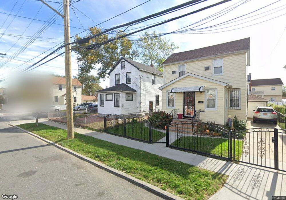
12202 Milburn St Springfield Gardens, NY 11413
Saint Albans NeighborhoodEstimated Value: $599,000 - $788,000
--
Bed
--
Bath
1,224
Sq Ft
$572/Sq Ft
Est. Value
About This Home
This home is located at 12202 Milburn St, Springfield Gardens, NY 11413 and is currently estimated at $700,262, approximately $572 per square foot. 12202 Milburn St is a home located in Queens County with nearby schools including P.S. 15 Jackie Robinson, Is 59 Springfield Gardens, and Success Academy Springfield Gardens.
Ownership History
Date
Name
Owned For
Owner Type
Purchase Details
Closed on
Dec 28, 2017
Sold by
Ellis Maudine
Bought by
Borja Marca Wilson and Romero Eugenia
Current Estimated Value
Home Financials for this Owner
Home Financials are based on the most recent Mortgage that was taken out on this home.
Original Mortgage
$396,316
Outstanding Balance
$335,969
Interest Rate
4.12%
Mortgage Type
FHA
Estimated Equity
$364,293
Create a Home Valuation Report for This Property
The Home Valuation Report is an in-depth analysis detailing your home's value as well as a comparison with similar homes in the area
Home Values in the Area
Average Home Value in this Area
Purchase History
| Date | Buyer | Sale Price | Title Company |
|---|---|---|---|
| Borja Marca Wilson | $410,000 | -- |
Source: Public Records
Mortgage History
| Date | Status | Borrower | Loan Amount |
|---|---|---|---|
| Open | Borja Marca Wilson | $396,316 |
Source: Public Records
Tax History Compared to Growth
Tax History
| Year | Tax Paid | Tax Assessment Tax Assessment Total Assessment is a certain percentage of the fair market value that is determined by local assessors to be the total taxable value of land and additions on the property. | Land | Improvement |
|---|---|---|---|---|
| 2025 | $5,033 | $26,559 | $7,785 | $18,774 |
| 2024 | $5,033 | $25,056 | $7,809 | $17,247 |
| 2023 | $4,980 | $24,797 | $7,015 | $17,782 |
| 2022 | $4,768 | $34,380 | $11,220 | $23,160 |
| 2021 | $4,937 | $29,760 | $11,220 | $18,540 |
| 2020 | $4,685 | $30,120 | $11,220 | $18,900 |
| 2019 | $4,368 | $27,840 | $11,220 | $16,620 |
| 2018 | $4,212 | $20,664 | $7,169 | $13,495 |
| 2017 | $3,758 | $19,905 | $7,936 | $11,969 |
| 2016 | $3,598 | $19,905 | $7,936 | $11,969 |
| 2015 | $2,045 | $18,444 | $11,024 | $7,420 |
| 2014 | $2,045 | $17,400 | $12,480 | $4,920 |
Source: Public Records
Map
Nearby Homes
- 122-22 Nellis St
- 12244 Nellis St
- 12253 Milburn St
- 122-66 Nellis St
- 12133 Grayson St
- 12251 Grayson St
- 12248 Benton St
- 179-47 Zoller Rd
- 17915 Eveleth Rd
- 17911 Eveleth Rd
- 18806 Nashville Blvd
- 179-50 Anderson Rd
- 12811 Harry Douglass Way
- 17955 Anderson Rd
- 17836 Eveleth Rd
- 19009 122nd Ave
- 191-01 122nd Ave
- 188-51 120th Rd
- 187-16 Williamson Ave
- 178-26 Zoller Rd
- 18628 122nd Ave
- 18624 122nd Ave
- 18702 122nd Ave
- 18622 122nd Ave
- 18622 122nd Ave
- 12212 Milburn St
- 122-12 Milburn St
- 122-07 Milburn St
- 12207 Milburn St
- 18706 122nd Ave
- 12216 Milburn St
- 18618 122nd Ave
- 12211 Milburn St
- 186-29 122nd Ave
- 18629 122nd Ave
- 12218 Milburn St
- 12156 Milburn St
- 121-56 Milburn St
- 18629 122nd Ave
- 12222 Milburn St