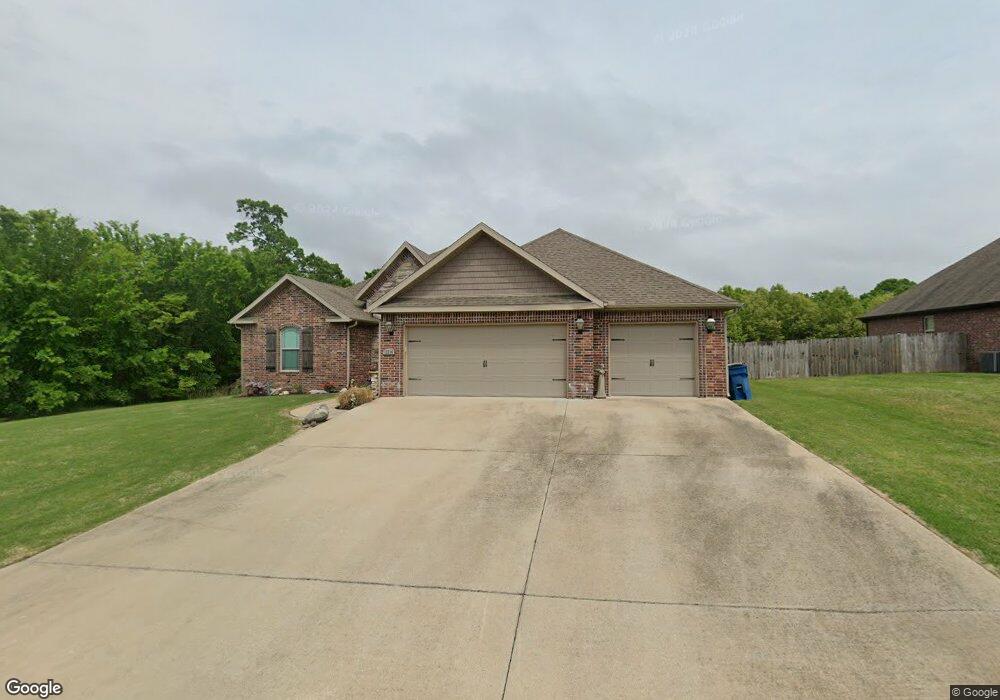
12214 Greenstone Dr Bentonville, AR 72712
Estimated Value: $518,000 - $587,000
--
Bed
--
Bath
2,223
Sq Ft
$251/Sq Ft
Est. Value
About This Home
This home is located at 12214 Greenstone Dr, Bentonville, AR 72712 and is currently estimated at $557,959, approximately $250 per square foot. 12214 Greenstone Dr is a home with nearby schools including Thomas Jefferson Elementary School, Ardis Ann Middle School, and Lincoln Junior High School.
Ownership History
Date
Name
Owned For
Owner Type
Purchase Details
Closed on
Jul 23, 2014
Sold by
West Fletcher Todd and West Denise
Bought by
Otis Gisela
Current Estimated Value
Purchase Details
Closed on
Apr 7, 2014
Sold by
Pinnacle Bank
Bought by
West Fletcher Todd and West Denise
Home Financials for this Owner
Home Financials are based on the most recent Mortgage that was taken out on this home.
Original Mortgage
$185,600
Interest Rate
4.34%
Mortgage Type
Construction
Create a Home Valuation Report for This Property
The Home Valuation Report is an in-depth analysis detailing your home's value as well as a comparison with similar homes in the area
Home Values in the Area
Average Home Value in this Area
Purchase History
| Date | Buyer | Sale Price | Title Company |
|---|---|---|---|
| Otis Gisela | $23,500 | City Title & Closing Llc | |
| West Fletcher Todd | $25,000 | City Title & Closing Llc |
Source: Public Records
Mortgage History
| Date | Status | Borrower | Loan Amount |
|---|---|---|---|
| Previous Owner | West Fletcher Todd | $185,600 |
Source: Public Records
Tax History Compared to Growth
Tax History
| Year | Tax Paid | Tax Assessment Tax Assessment Total Assessment is a certain percentage of the fair market value that is determined by local assessors to be the total taxable value of land and additions on the property. | Land | Improvement |
|---|---|---|---|---|
| 2025 | $4,155 | $95,646 | $14,600 | $81,046 |
| 2024 | $3,816 | $95,646 | $14,600 | $81,046 |
| 2023 | $3,469 | $61,620 | $12,000 | $49,620 |
| 2022 | $3,469 | $61,620 | $12,000 | $49,620 |
| 2021 | $3,407 | $61,620 | $12,000 | $49,620 |
| 2020 | $3,097 | $53,220 | $7,000 | $46,220 |
| 2019 | $3,097 | $53,220 | $7,000 | $46,220 |
| 2018 | $2,996 | $53,220 | $7,000 | $46,220 |
| 2017 | $0 | $53,220 | $7,000 | $46,220 |
| 2016 | $0 | $53,220 | $7,000 | $46,220 |
| 2015 | $2,379 | $42,250 | $4,000 | $38,250 |
| 2014 | -- | $4,000 | $4,000 | $0 |
Source: Public Records
Map
Nearby Homes
- 12188 Bedrock Ln
- 12136 Bedrock Ln
- 3760 Bitterroot St
- 3760 Whitefish St
- 3750 Whitefish St
- 11982 Arkansas 72
- 3731 Bitterroot St
- 3711 Bitterroot St
- 3620 Bearpaw Path
- 3611 Bitterroot Cove
- 3621 Bearpaw Path
- 810 Greenhorn St
- 800 Greenhorn St
- 3601 Beaverhead Way
- 811 Greenhorn St
- 3560 Bridger Ln
- 12382 Arkansas 72
- 11896 Lakenheath Dr
- 12610 Bullock Rd
- 12658 Bullock Rd
- 12206 Greenstone Dr
- 0 Greenstone Dr
- 12215 Greenstone Dr
- 12207 Greenstone Dr
- 12198 Greenstone Dr
- 12221 Greenstone Dr
- 12226 Greenstone Dr
- 12227 Greenstone Dr
- 12199 Greenstone Dr
- 12190 Greenstone Dr
- 12230 Greenstone Dr
- 12231 Greenstone Dr
- 12238 Greenstone Dr
- 12183 Greenstone Dr
- 12182 Greenstone Dr
- 12192 Lost Oak Dr
- 12246 Greenstone Dr
- 0 Lost Oak Dr Unit 696641
- 12174 Greenstone Dr
- 12247 Greenstone Dr