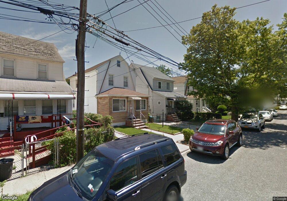
12229 191st St Springfield Gardens, NY 11413
Saint Albans NeighborhoodEstimated Value: $627,261 - $794,000
--
Bed
--
Bath
1,548
Sq Ft
$478/Sq Ft
Est. Value
About This Home
This home is located at 12229 191st St, Springfield Gardens, NY 11413 and is currently estimated at $740,565, approximately $478 per square foot. 12229 191st St is a home located in Queens County with nearby schools including P.S. 15 Jackie Robinson, Is 59 Springfield Gardens, and Success Academy Springfield Gardens.
Ownership History
Date
Name
Owned For
Owner Type
Purchase Details
Closed on
Dec 11, 2003
Sold by
Mackie Mary
Bought by
Dundas As and Renaud Kever
Current Estimated Value
Home Financials for this Owner
Home Financials are based on the most recent Mortgage that was taken out on this home.
Original Mortgage
$291,650
Interest Rate
5.62%
Mortgage Type
Purchase Money Mortgage
Create a Home Valuation Report for This Property
The Home Valuation Report is an in-depth analysis detailing your home's value as well as a comparison with similar homes in the area
Home Values in the Area
Average Home Value in this Area
Purchase History
| Date | Buyer | Sale Price | Title Company |
|---|---|---|---|
| Dundas As | $307,000 | -- |
Source: Public Records
Mortgage History
| Date | Status | Borrower | Loan Amount |
|---|---|---|---|
| Previous Owner | Dundas As | $291,650 |
Source: Public Records
Tax History Compared to Growth
Tax History
| Year | Tax Paid | Tax Assessment Tax Assessment Total Assessment is a certain percentage of the fair market value that is determined by local assessors to be the total taxable value of land and additions on the property. | Land | Improvement |
|---|---|---|---|---|
| 2025 | $4,352 | $29,539 | $7,810 | $21,729 |
| 2024 | $4,364 | $27,868 | $8,592 | $19,276 |
| 2023 | $4,052 | $26,375 | $7,929 | $18,446 |
| 2022 | $3,722 | $32,100 | $11,580 | $20,520 |
| 2021 | $3,930 | $34,320 | $11,580 | $22,740 |
| 2020 | $3,898 | $33,180 | $11,580 | $21,600 |
| 2019 | $3,561 | $31,080 | $11,580 | $19,500 |
| 2018 | $3,204 | $21,979 | $10,052 | $11,927 |
| 2017 | $3,486 | $20,736 | $9,574 | $11,162 |
| 2016 | $3,397 | $20,736 | $9,574 | $11,162 |
| 2015 | $1,925 | $20,514 | $10,733 | $9,781 |
| 2014 | $1,925 | $19,353 | $12,145 | $7,208 |
Source: Public Records
Map
Nearby Homes
- 191-01 122nd Ave
- 19009 122nd Ave
- 19115 Williamson Ave
- 192-17 Williamson Ave
- 19401 Nashville Blvd
- 194-01 Nashville Blvd
- 194-09 122nd Ave
- 120-44 192nd St
- 12054 194th St
- 12248 Benton St
- 191-07 121st Ave
- 12251 Grayson St
- 12133 Grayson St
- 12043 194th St
- 19332 Williamson Ave
- 18806 Nashville Blvd
- 121-11 195th St
- 121-9 195th St
- 120-20 194th St
- 121-17 196th St
- 12231 191st St
- 12225 191st St
- 12225 191st St
- 12235 191st St
- 12221 191st St
- 12221 191st St
- 12219 191st St
- 12224 192nd St
- 12222 192nd St
- 12228 192nd St
- 12230 192nd St
- 12220 192nd St
- 122-17 191st St
- 12217 191st St
- 19105 Nashville Blvd
- 19105 Nashville Blvd
- 12216 192nd St
- 19101 Nashville Blvd
- 19109 Nashville Blvd
- 19113 Nashville Blvd