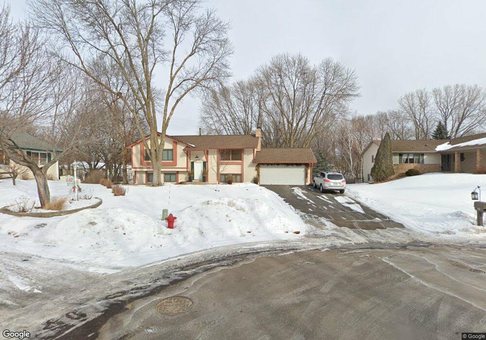
12240 23rd Ave S Burnsville, MN 55337
Estimated Value: $441,000 - $475,000
4
Beds
2
Baths
3,088
Sq Ft
$147/Sq Ft
Est. Value
About This Home
This home is located at 12240 23rd Ave S, Burnsville, MN 55337 and is currently estimated at $454,659, approximately $147 per square foot. 12240 23rd Ave S is a home located in Dakota County with nearby schools including William Byrne Elementary School, Burnsville High School, and Gateway STEM Academy.
Ownership History
Date
Name
Owned For
Owner Type
Purchase Details
Closed on
Apr 30, 2021
Sold by
Lemay Steven L and Lemay Lucy A
Bought by
Runge Jacob
Current Estimated Value
Home Financials for this Owner
Home Financials are based on the most recent Mortgage that was taken out on this home.
Original Mortgage
$398,970
Outstanding Balance
$361,566
Interest Rate
3.1%
Mortgage Type
VA
Estimated Equity
$93,093
Purchase Details
Closed on
Jun 30, 2006
Sold by
Merillat Dennis R
Bought by
Lemay Steven L and Lemay Lucy A
Create a Home Valuation Report for This Property
The Home Valuation Report is an in-depth analysis detailing your home's value as well as a comparison with similar homes in the area
Home Values in the Area
Average Home Value in this Area
Purchase History
| Date | Buyer | Sale Price | Title Company |
|---|---|---|---|
| Runge Jacob | $390,000 | Midland Title | |
| Lemay Steven L | $288,000 | -- |
Source: Public Records
Mortgage History
| Date | Status | Borrower | Loan Amount |
|---|---|---|---|
| Open | Runge Jacob | $398,970 |
Source: Public Records
Tax History Compared to Growth
Tax History
| Year | Tax Paid | Tax Assessment Tax Assessment Total Assessment is a certain percentage of the fair market value that is determined by local assessors to be the total taxable value of land and additions on the property. | Land | Improvement |
|---|---|---|---|---|
| 2024 | $4,642 | $436,000 | $84,200 | $351,800 |
| 2023 | $4,642 | $441,100 | $84,300 | $356,800 |
| 2022 | $3,712 | $424,300 | $84,100 | $340,200 |
| 2021 | $3,898 | $349,400 | $73,100 | $276,300 |
| 2020 | $3,804 | $347,600 | $80,900 | $266,700 |
| 2019 | $3,869 | $328,400 | $77,100 | $251,300 |
| 2018 | $3,711 | $318,100 | $73,400 | $244,700 |
| 2017 | $3,569 | $297,700 | $69,900 | $227,800 |
| 2016 | $3,430 | $282,600 | $66,600 | $216,000 |
| 2015 | $3,269 | $249,103 | $61,256 | $187,847 |
| 2014 | -- | $247,904 | $60,081 | $187,823 |
| 2013 | -- | $227,521 | $54,421 | $173,100 |
Source: Public Records
Map
Nearby Homes
- 12232 Oak Leaf Cir
- 2011 E 122nd St Unit D24
- 2005 E 122nd St Unit A7
- 2005 E 122nd St Unit A14
- 2005 E 122nd St Unit A23
- 2007 E 122nd St Unit B15
- 2300 Villaburne Ct W
- 2400 E 125th St
- 12316 Michelle Cir
- 12420 Chippewa Ln
- 72 River Woods Ln
- 55 River Woods Ln
- 2200 Horizon Rd
- 1609 Riverwood Dr
- 11900 Highland View Cir
- 1853 Riverwood Dr Unit 4
- 11921 Baypoint Dr
- 1800 Riverwood Dr Unit 110
- 1800 Riverwood Dr Unit 323
- 122 Birnamwood Dr
- 12238 Oak Leaf Cir
- 12244 23rd Ave S
- 12241 23rd Ave S
- 12234 Oak Leaf Cir
- 12236 Oak Leaf Cir
- 12230 Oak Leaf Cir
- 12228 Oak Leaf Cir
- 12248 23rd Ave S
- 12243 23rd Ave S
- 12224 Oak Leaf Cir
- 12226 Oak Leaf Cir
- 12252 23rd Ave S
- 12220 Oak Leaf Cir
- 12245 23rd Ave S
- 12245 12245 23rd-Avenue-s
- 12222 Oak Leaf Cir
- 12253 23rd Ave S
- 12216 Oak Leaf Cir
- 12218 Oak Leaf Cir
- 12247 23rd Ave S