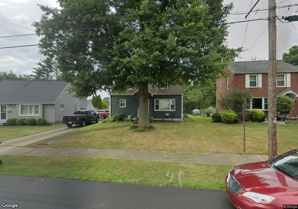
1225 Washington Blvd Louisville, OH 44641
Estimated Value: $123,000 - $162,000
3
Beds
2
Baths
1,166
Sq Ft
$127/Sq Ft
Est. Value
About This Home
This home is located at 1225 Washington Blvd, Louisville, OH 44641 and is currently estimated at $147,845, approximately $126 per square foot. 1225 Washington Blvd is a home located in Stark County with nearby schools including Louisville High School and St. Thomas Aquinas High School & Middle School.
Ownership History
Date
Name
Owned For
Owner Type
Purchase Details
Closed on
Mar 30, 2005
Sold by
Parker Richard E
Bought by
Rush Anthony W and Rush Renee N
Current Estimated Value
Home Financials for this Owner
Home Financials are based on the most recent Mortgage that was taken out on this home.
Original Mortgage
$87,000
Outstanding Balance
$44,487
Interest Rate
5.64%
Mortgage Type
Purchase Money Mortgage
Estimated Equity
$103,358
Create a Home Valuation Report for This Property
The Home Valuation Report is an in-depth analysis detailing your home's value as well as a comparison with similar homes in the area
Home Values in the Area
Average Home Value in this Area
Purchase History
| Date | Buyer | Sale Price | Title Company |
|---|---|---|---|
| Rush Anthony W | $87,000 | -- |
Source: Public Records
Mortgage History
| Date | Status | Borrower | Loan Amount |
|---|---|---|---|
| Open | Rush Anthony W | $87,000 |
Source: Public Records
Tax History Compared to Growth
Tax History
| Year | Tax Paid | Tax Assessment Tax Assessment Total Assessment is a certain percentage of the fair market value that is determined by local assessors to be the total taxable value of land and additions on the property. | Land | Improvement |
|---|---|---|---|---|
| 2025 | -- | $29,130 | $11,450 | $17,680 |
| 2024 | -- | $29,130 | $11,450 | $17,680 |
| 2023 | $1,166 | $27,100 | $8,650 | $18,450 |
| 2022 | $1,171 | $27,100 | $8,650 | $18,450 |
| 2021 | $1,174 | $27,100 | $8,650 | $18,450 |
| 2020 | $964 | $24,150 | $7,770 | $16,380 |
| 2019 | $968 | $25,870 | $7,770 | $18,100 |
| 2018 | $1,032 | $25,870 | $7,770 | $18,100 |
| 2017 | $896 | $21,640 | $6,230 | $15,410 |
| 2016 | $914 | $21,640 | $6,230 | $15,410 |
| 2015 | $916 | $21,640 | $6,230 | $15,410 |
| 2014 | $919 | $20,170 | $5,810 | $14,360 |
| 2013 | $463 | $20,170 | $5,810 | $14,360 |
Source: Public Records
Map
Nearby Homes
- 0 Michigan Blvd
- 308 Superior St
- 325 Lincoln Ave
- 1170 Winding Ridge Ave
- 520 S Silver St
- 641 S Nickelplate St
- 728 E Broad St
- 910 Crosswyck Cir
- 1715 High St
- 1812 E Broad St
- 2015 E Main St
- 203 Brookfield St
- 204 E Broad St
- 107 E Broad St
- 510 S Bauman Ct
- 428 Honeycrisp Dr NE
- 3047 Mcintosh Dr NE
- 432 Honeycrisp Dr NE
- 2962 Mcintosh Dr NE
- 2963 Mcintosh Dr NE
- 1229 Washington Blvd
- 1219 Washington Blvd
- 1303 Washington Blvd
- 1213 Washington Blvd
- 1309 Washington Blvd
- 1209 Washington Blvd
- 1214 Washington Blvd
- 1310 Michigan Blvd
- 418 N Nickelplate St
- 1313 Washington Blvd
- 1222 Washington Blvd
- 1203 Washington Blvd
- 1208 Washington Blvd
- 1206 Michigan Blvd
- 1202 Washington Blvd
- 1304 Washington Blvd
- 214 N Nickelplate St
- 401 Ohio Blvd
- 1231 Michigan Blvd
- 1221 Michigan Blvd