1225 White Fir Rd Westwood, CA 96137
Estimated Value: $475,539 - $593,000
2
Beds
2
Baths
2,158
Sq Ft
$255/Sq Ft
Est. Value
About This Home
This home is located at 1225 White Fir Rd, Westwood, CA 96137 and is currently estimated at $550,135, approximately $254 per square foot. 1225 White Fir Rd is a home located in Plumas County.
Ownership History
Date
Name
Owned For
Owner Type
Purchase Details
Closed on
Feb 3, 2021
Sold by
Spinharney Stephen J and Spinharney Roann M
Bought by
Spinharney Stephen J and Spinharney Roann M
Current Estimated Value
Purchase Details
Closed on
Dec 23, 2019
Sold by
Butler Robert T and Butler Janice L
Bought by
Spinharney Stephen J and Spinharney Roann M
Home Financials for this Owner
Home Financials are based on the most recent Mortgage that was taken out on this home.
Original Mortgage
$260,000
Outstanding Balance
$229,809
Interest Rate
3.73%
Mortgage Type
New Conventional
Estimated Equity
$320,326
Create a Home Valuation Report for This Property
The Home Valuation Report is an in-depth analysis detailing your home's value as well as a comparison with similar homes in the area
Home Values in the Area
Average Home Value in this Area
Purchase History
| Date | Buyer | Sale Price | Title Company |
|---|---|---|---|
| Spinharney Stephen J | -- | None Available | |
| Spinharney Stephen J | $325,000 | Chicago Title Company |
Source: Public Records
Mortgage History
| Date | Status | Borrower | Loan Amount |
|---|---|---|---|
| Open | Spinharney Stephen J | $260,000 |
Source: Public Records
Tax History Compared to Growth
Tax History
| Year | Tax Paid | Tax Assessment Tax Assessment Total Assessment is a certain percentage of the fair market value that is determined by local assessors to be the total taxable value of land and additions on the property. | Land | Improvement |
|---|---|---|---|---|
| 2025 | $2,690 | $206,254 | $21,748 | $184,506 |
| 2023 | $2,690 | $198,247 | $20,904 | $177,343 |
| 2022 | $2,476 | $194,361 | $20,495 | $173,866 |
| 2021 | $2,266 | $190,551 | $20,094 | $170,457 |
| 2020 | $2,311 | $188,598 | $19,888 | $168,710 |
| 2019 | $2,269 | $184,901 | $19,499 | $165,402 |
| 2018 | $2,182 | $181,276 | $19,117 | $162,159 |
| 2017 | $2,170 | $177,723 | $18,743 | $158,980 |
| 2016 | $2,018 | $174,239 | $18,376 | $155,863 |
| 2015 | $1,993 | $171,622 | $18,100 | $153,522 |
| 2014 | $1,961 | $168,261 | $17,746 | $150,515 |
Source: Public Records
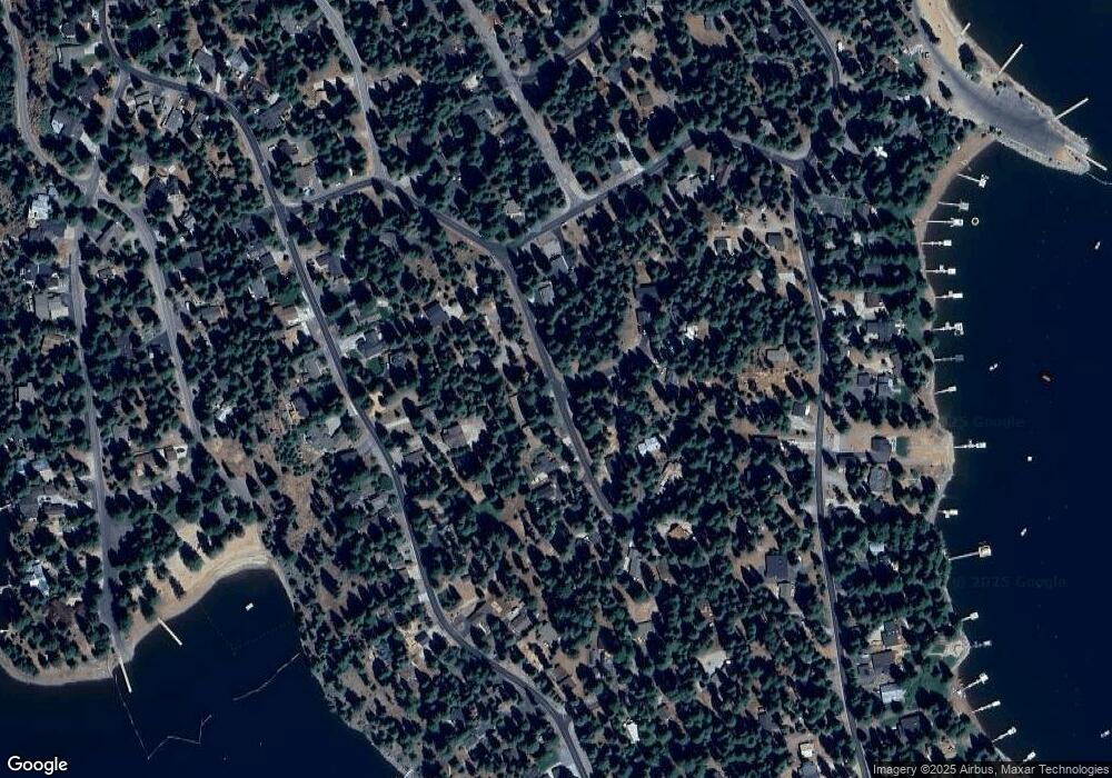
Map
Nearby Homes
- 1216 Lynx Rd
- 1220 Lynx Rd
- 1210 Hidden Beach Rd
- 1130 Clifford Dr
- 1283 Lassen View Dr
- 945 Lassen View Dr
- 1276 Lassen View Dr
- 1155 Lake Ridge Rd
- 1113 Fairway Pines Rd
- 1117 Peninsula Dr
- 1108 Clifford Dr
- 1260 Peninsula Dr
- 1131 Lake Ridge Rd
- 1110 Lake Ridge Rd
- 911 Peninsula Dr
- 910 Clifford Dr
- 911 Clifford Dr
- 814 Lake Ridge Rd
- 1142 Lake Ridge Rd
- 834 Lake Ridge Rd
- 1223 White Fir Rd
- 1227 White Fir Rd
- 1209 White Fir Rd
- 1231 White Fir Rd
- 1235 White Fir Rd
- 1226 White Fir Rd
- 1220 Lassen View Dr
- 1222 Lassen View Dr
- 1218 Lassen View Dr
- 1220 White Fir Trail
- 1233 White Fir Rd
- 1222 White Fir Rd
- 1216 Lassen View Dr
- 1208 White Fir Trail
- 1228 White Fir Rd
- 1226 Lassen View Dr
- 1214 Lassen View Dr
- 1205 White Fir Rd
- 1206 White Fir Rd
- 1230 White Fir Rd