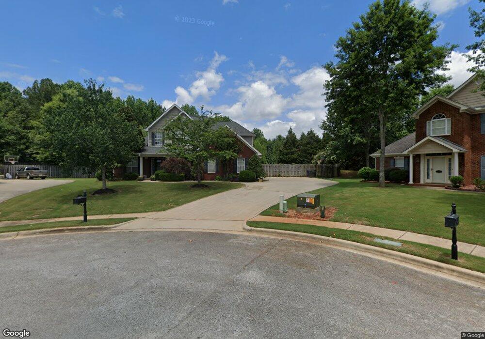
123 Averbeck Ct Madison, AL 35758
Estimated Value: $473,000 - $536,870
4
Beds
3
Baths
3,016
Sq Ft
$165/Sq Ft
Est. Value
About This Home
This home is located at 123 Averbeck Ct, Madison, AL 35758 and is currently estimated at $497,718, approximately $165 per square foot. 123 Averbeck Ct is a home located in Madison County with nearby schools including Discovery Middle School, Bob Jones High School, and Madison Baptist Academy.
Ownership History
Date
Name
Owned For
Owner Type
Purchase Details
Closed on
Jul 19, 2005
Sold by
Newton Stephen A and Newton Talitha N
Bought by
Kollar John F and Kollar Kimberly D
Current Estimated Value
Home Financials for this Owner
Home Financials are based on the most recent Mortgage that was taken out on this home.
Original Mortgage
$223,537
Outstanding Balance
$115,178
Interest Rate
5.46%
Mortgage Type
New Conventional
Estimated Equity
$382,540
Create a Home Valuation Report for This Property
The Home Valuation Report is an in-depth analysis detailing your home's value as well as a comparison with similar homes in the area
Home Values in the Area
Average Home Value in this Area
Purchase History
| Date | Buyer | Sale Price | Title Company |
|---|---|---|---|
| Kollar John F | $279,500 | None Available |
Source: Public Records
Mortgage History
| Date | Status | Borrower | Loan Amount |
|---|---|---|---|
| Open | Kollar John F | $223,537 |
Source: Public Records
Tax History Compared to Growth
Tax History
| Year | Tax Paid | Tax Assessment Tax Assessment Total Assessment is a certain percentage of the fair market value that is determined by local assessors to be the total taxable value of land and additions on the property. | Land | Improvement |
|---|---|---|---|---|
| 2024 | $3,544 | $50,480 | $7,000 | $43,480 |
| 2023 | $3,470 | $48,740 | $7,000 | $41,740 |
| 2022 | $2,550 | $37,240 | $4,260 | $32,980 |
| 2021 | $2,304 | $33,700 | $4,260 | $29,440 |
| 2020 | $1,968 | $28,850 | $4,250 | $24,600 |
| 2019 | $1,562 | $27,800 | $4,250 | $23,550 |
| 2018 | $1,478 | $26,360 | $0 | $0 |
| 2017 | $1,465 | $26,140 | $0 | $0 |
| 2016 | $1,465 | $26,140 | $0 | $0 |
| 2015 | $1,465 | $26,140 | $0 | $0 |
| 2014 | $1,508 | $27,060 | $0 | $0 |
Source: Public Records
Map
Nearby Homes
- 107 Monument Ln
- 102 Mabscott Dr
- 125 Monument Ln
- 469 1/2 Gillespie Rd
- 104 Fireside Ln
- 108 Sunnyfield Dr
- 106 Clover Ridge Dr
- 305 Walden Glen Ct
- 122 Sunnyfield Dr
- 110 Woodley Rd
- 469 Gillespie Rd
- 118 Conservancy Dr
- 115 Liverpool Dr
- 1304 Liberty Dr
- 218 Knotting Place
- 133 Philadelphia Dr
- 2009 Liberty Dr Unit 2009
- 2006 Liberty Dr
- 198 Fernbridge Blvd
- 1 Browns Ferry Rd
- 121 Averbeck Ct
- 122 Averbeck Ct
- 119 Averbeck Ct
- 118 Averbeck Ct
- 117 Averbeck Ct
- 116 Averbeck Ct
- 222 Pennsylvania Ave
- 115 Averbeck Ct
- 226 Pennsylvania Ave
- 220 Pennsylvania Ave
- 114 Averbeck Ct
- 228 Pennsylvania Ave
- 113 Averbeck Ct
- 218 Pennsylvania Ave
- 230 Pennsylvania Ave
- 225 Pennsylvania Ave
- 112 Averbeck Ct
- 680 Gillespie Rd
- 111 Averbeck Ct
- 232 Pennsylvania Ave