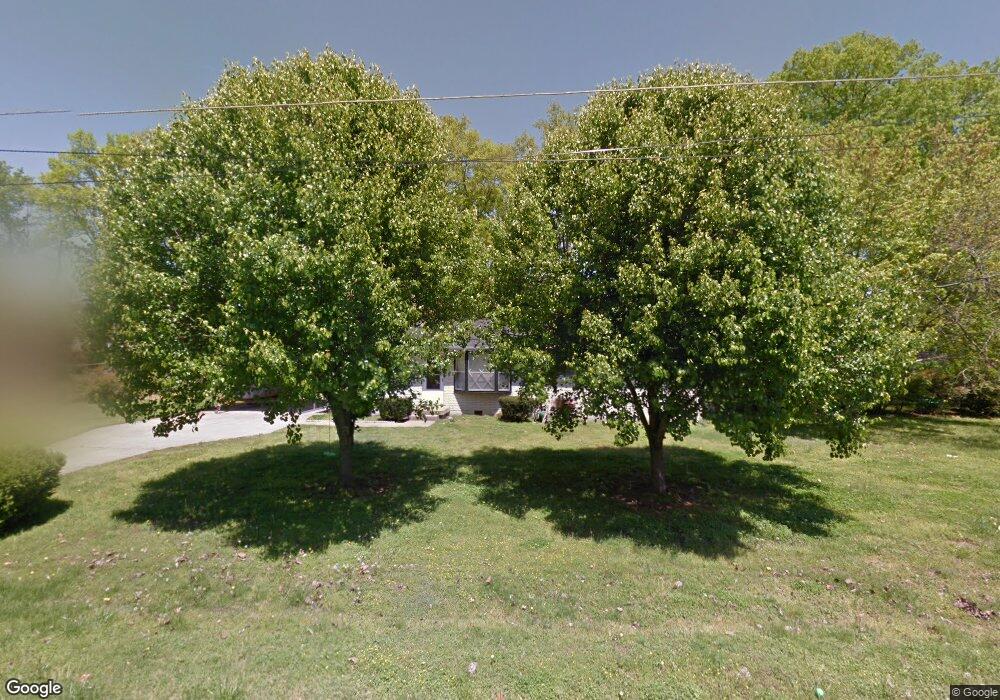
123 Bane Dr Smyrna, TN 37167
Estimated Value: $256,695 - $330,000
--
Bed
1
Bath
1,347
Sq Ft
$220/Sq Ft
Est. Value
About This Home
This home is located at 123 Bane Dr, Smyrna, TN 37167 and is currently estimated at $295,924, approximately $219 per square foot. 123 Bane Dr is a home located in Rutherford County with nearby schools including Smyrna Primary School, Smyrna Middle School, and Smyrna High School.
Ownership History
Date
Name
Owned For
Owner Type
Purchase Details
Closed on
Aug 28, 2014
Sold by
Scott Jason P
Bought by
Cobb Monica Leah
Current Estimated Value
Purchase Details
Closed on
Jun 8, 2012
Sold by
Scott Jason P
Bought by
Scott Jason Monica L
Purchase Details
Closed on
Jun 11, 2002
Sold by
Brent Shults
Bought by
Scott Jason P and Scott Monica L
Home Financials for this Owner
Home Financials are based on the most recent Mortgage that was taken out on this home.
Original Mortgage
$102,192
Interest Rate
6.77%
Purchase Details
Closed on
Aug 2, 2001
Sold by
Hackney Walter E and Hackney Earline
Bought by
Brent Shults
Home Financials for this Owner
Home Financials are based on the most recent Mortgage that was taken out on this home.
Original Mortgage
$95,247
Interest Rate
7.1%
Create a Home Valuation Report for This Property
The Home Valuation Report is an in-depth analysis detailing your home's value as well as a comparison with similar homes in the area
Home Values in the Area
Average Home Value in this Area
Purchase History
| Date | Buyer | Sale Price | Title Company |
|---|---|---|---|
| Cobb Monica Leah | -- | -- | |
| Scott Jason Monica L | -- | -- | |
| Scott Jason P | $103,000 | -- | |
| Brent Shults | $96,000 | -- |
Source: Public Records
Mortgage History
| Date | Status | Borrower | Loan Amount |
|---|---|---|---|
| Previous Owner | Brent Shults | $102,192 | |
| Previous Owner | Brent Shults | $95,247 |
Source: Public Records
Tax History Compared to Growth
Tax History
| Year | Tax Paid | Tax Assessment Tax Assessment Total Assessment is a certain percentage of the fair market value that is determined by local assessors to be the total taxable value of land and additions on the property. | Land | Improvement |
|---|---|---|---|---|
| 2025 | $1,322 | $55,050 | $13,750 | $41,300 |
| 2024 | $1,322 | $55,050 | $13,750 | $41,300 |
| 2023 | $1,358 | $56,550 | $13,750 | $42,800 |
| 2022 | $1,211 | $56,550 | $13,750 | $42,800 |
| 2021 | $1,252 | $42,875 | $8,750 | $34,125 |
| 2020 | $1,252 | $42,875 | $8,750 | $34,125 |
| 2019 | $1,252 | $42,875 | $8,750 | $34,125 |
| 2018 | $1,200 | $42,875 | $0 | $0 |
| 2017 | $973 | $27,300 | $0 | $0 |
| 2016 | $973 | $27,300 | $0 | $0 |
| 2015 | $973 | $27,300 | $0 | $0 |
| 2014 | $679 | $27,300 | $0 | $0 |
| 2013 | -- | $22,625 | $0 | $0 |
Source: Public Records
Map
Nearby Homes
- 201 Bane Dr
- 205 Bane Dr
- 203 McNickle Dr
- 108 McNickle Dr
- 116 Avondale Dr
- 1547 Repton Rd
- 104 Belaire Dr
- 303 Davis Park Dr
- 3011 Denny Brooke Ln
- 104 Evanmeade Dr
- 106 Halfrunner Way Unit 4
- 104 Halfrunner Way Unit 3
- 102 Halfrunner Way Unit 2
- 100 Halfrunner Way Unit 1
- 3040 Denny Brooke Ln
- 213 Stewarts Landing Cir
- 211 Stewarts Landing Cir
- 340 Stewarts Landing Cir
- 403 Acorn Ct
- 203 S Lowry St