123 Wood St Westernport, MD 21562
Estimated Value: $36,000 - $84,000
--
Bed
3
Baths
2,352
Sq Ft
$27/Sq Ft
Est. Value
About This Home
This home is located at 123 Wood St, Westernport, MD 21562 and is currently estimated at $62,686, approximately $26 per square foot. 123 Wood St is a home located in Allegany County with nearby schools including Westernport Elementary School, Westmar Middle School, and Mountain Ridge High School.
Ownership History
Date
Name
Owned For
Owner Type
Purchase Details
Closed on
Nov 3, 2006
Sold by
Y Y L and Y Edwin M
Bought by
Walcott Investments Llc
Current Estimated Value
Purchase Details
Closed on
Oct 26, 2006
Sold by
Y Y L and Y Edwin M
Bought by
Walcott Investments Llc
Purchase Details
Closed on
Jun 23, 2004
Sold by
M & T Bank
Bought by
Landry Edwin and Rock Anna M
Purchase Details
Closed on
Jul 15, 2003
Sold by
Lease Amy
Bought by
M & T Bank
Purchase Details
Closed on
Apr 25, 2000
Sold by
Moorehead Ricky M and Moorehead Deborah L
Bought by
Lease Amy
Create a Home Valuation Report for This Property
The Home Valuation Report is an in-depth analysis detailing your home's value as well as a comparison with similar homes in the area
Home Values in the Area
Average Home Value in this Area
Purchase History
| Date | Buyer | Sale Price | Title Company |
|---|---|---|---|
| Walcott Investments Llc | $42,000 | -- | |
| Walcott Investments Llc | $42,000 | -- | |
| Landry Edwin | $20,500 | -- | |
| M & T Bank | $17,404 | -- | |
| Lease Amy | $33,000 | -- |
Source: Public Records
Mortgage History
| Date | Status | Borrower | Loan Amount |
|---|---|---|---|
| Closed | Lease Amy | -- |
Source: Public Records
Tax History Compared to Growth
Tax History
| Year | Tax Paid | Tax Assessment Tax Assessment Total Assessment is a certain percentage of the fair market value that is determined by local assessors to be the total taxable value of land and additions on the property. | Land | Improvement |
|---|---|---|---|---|
| 2025 | $978 | $60,300 | $7,200 | $53,100 |
| 2024 | $919 | $56,600 | $0 | $0 |
| 2023 | $852 | $52,900 | $0 | $0 |
| 2022 | $791 | $49,200 | $7,200 | $42,000 |
| 2021 | $783 | $48,733 | $0 | $0 |
| 2020 | $766 | $48,267 | $0 | $0 |
| 2019 | $764 | $47,800 | $7,200 | $40,600 |
| 2018 | $769 | $47,800 | $7,200 | $40,600 |
| 2017 | $763 | $47,800 | $0 | $0 |
| 2016 | $768 | $47,800 | $0 | $0 |
| 2015 | $764 | $47,800 | $0 | $0 |
| 2014 | $764 | $47,800 | $0 | $0 |
Source: Public Records
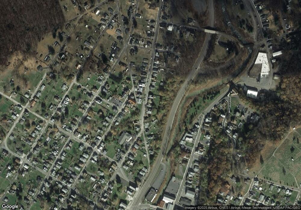
Map
Nearby Homes
- 222 Rock St
- 400 Walnut St
- 112 Main St
- 312 Hammond St
- 314 Walnut St
- 136 Maryland Ave
- 213 Central Ave
- 226 Green St
- 524 Maryland Ave
- 68 Knight St
- 108 Knight St
- 21205 Long Mountain Rd SW
- 21205 Long Mountain Rd
- 0 Westernport Rd Unit MDAL2011410
- 23905 Keplinger Ln SW
- 0 Pinnacle Rd Unit WVMI2003698
- 19027 Maryland Hwy
- 23417 Potomac Hollow Rd SW
- 18537 Maryland Hwy
- 370 Carroll Ave