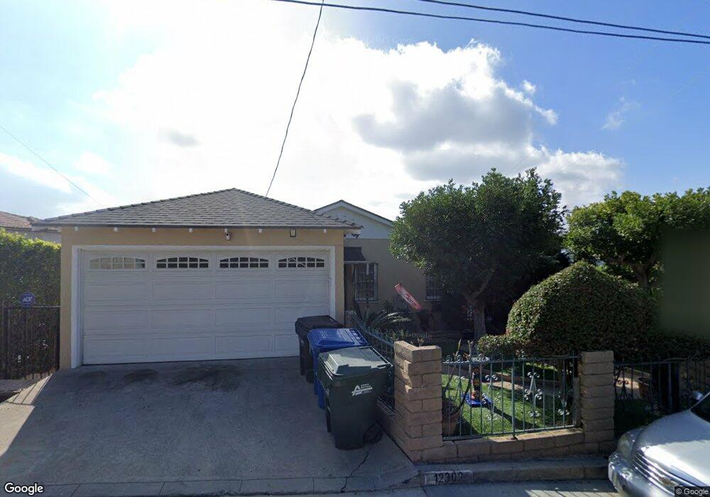
12302 Norino Dr Whittier, CA 90601
West Whittier NeighborhoodEstimated Value: $976,360 - $1,286,000
3
Beds
2
Baths
2,534
Sq Ft
$450/Sq Ft
Est. Value
About This Home
This home is located at 12302 Norino Dr, Whittier, CA 90601 and is currently estimated at $1,141,090, approximately $450 per square foot. 12302 Norino Dr is a home located in Los Angeles County with nearby schools including Longfellow Elementary School, Walter F. Dexter Middle School, and Whittier High School.
Ownership History
Date
Name
Owned For
Owner Type
Purchase Details
Closed on
Nov 11, 2014
Sold by
Curfman Wayne R and Curfman Sharon P
Bought by
Curfman Wayne R and Curfman Sharon P
Current Estimated Value
Home Financials for this Owner
Home Financials are based on the most recent Mortgage that was taken out on this home.
Original Mortgage
$200,000
Interest Rate
4.1%
Mortgage Type
New Conventional
Create a Home Valuation Report for This Property
The Home Valuation Report is an in-depth analysis detailing your home's value as well as a comparison with similar homes in the area
Home Values in the Area
Average Home Value in this Area
Purchase History
| Date | Buyer | Sale Price | Title Company |
|---|---|---|---|
| Curfman Wayne R | -- | Next Title |
Source: Public Records
Mortgage History
| Date | Status | Borrower | Loan Amount |
|---|---|---|---|
| Closed | Curfman Wayne R | $200,000 |
Source: Public Records
Tax History Compared to Growth
Tax History
| Year | Tax Paid | Tax Assessment Tax Assessment Total Assessment is a certain percentage of the fair market value that is determined by local assessors to be the total taxable value of land and additions on the property. | Land | Improvement |
|---|---|---|---|---|
| 2025 | $2,147 | $124,874 | $38,456 | $86,418 |
| 2024 | $2,147 | $122,426 | $37,702 | $84,724 |
| 2023 | $2,088 | $120,026 | $36,963 | $83,063 |
| 2022 | $2,057 | $117,674 | $36,239 | $81,435 |
| 2021 | $1,932 | $115,368 | $35,529 | $79,839 |
| 2019 | $1,909 | $111,948 | $34,476 | $77,472 |
| 2018 | $1,735 | $109,753 | $33,800 | $75,953 |
| 2016 | $1,748 | $105,493 | $32,489 | $73,004 |
| 2015 | $1,752 | $103,909 | $32,001 | $71,908 |
| 2014 | $1,763 | $101,875 | $31,375 | $70,500 |
Source: Public Records
Map
Nearby Homes
- 5655 Pickering Ave
- 12417 Rose Dr
- 11840 Nixon Ln
- 11759 S Circle Dr
- 11905 Mendenhall Ln
- 12031 Beverly Blvd Unit 1D
- 11511 Beverly Dr
- 5840 Citrus Ave
- 11514 Beverly Blvd
- 5307 Woodward Ln
- 5315 Bihr Ct
- 6222 Magnolia Ave
- 11818 Pocasset Dr
- 10605 Cordoba Ct
- 11338 Ridgegate Dr
- 5827 Washington Ave
- 5115 Castelotte Ct
- 11422 Ridgegate Dr
- 11447 Broadway Ave
- 5107 Vista Verde Way
- 12308 Norino Dr
- 12240 Norino Dr
- 12227 Beverly Dr
- 12221 Beverly Dr
- 12316 Norino Dr
- 12234 Norino Dr
- 12215 Beverly Dr
- 12310 Avalon Rd
- 12323 Avalon Rd
- 12209 Beverly Dr
- 12313 Norino Dr
- 12237 Norino Dr
- 12224 Norino Dr
- 12321 Norino Dr
- 5534 Citrus Ave
- 12203 Beverly Dr
- 5442 Citrus Grove Place
- 12331 Avalon Rd
- 12324 Avalon Rd
- 12230 Beverly Dr