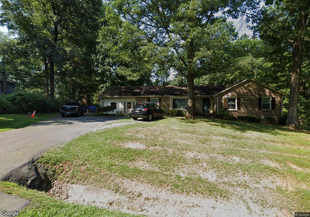
12303 Sherwood Forest Dr Mount Airy, MD 21771
Estimated Value: $526,503 - $602,000
--
Bed
2
Baths
2,089
Sq Ft
$273/Sq Ft
Est. Value
About This Home
This home is located at 12303 Sherwood Forest Dr, Mount Airy, MD 21771 and is currently estimated at $569,376, approximately $272 per square foot. 12303 Sherwood Forest Dr is a home located in Frederick County with nearby schools including New Market Elementary School, New Market Middle School, and Linganore High School.
Ownership History
Date
Name
Owned For
Owner Type
Purchase Details
Closed on
Apr 8, 2020
Sold by
Harrison Mary Anne
Bought by
Harrison Mary Ann and Harrison Linda Marie
Current Estimated Value
Purchase Details
Closed on
Sep 10, 2003
Sold by
Schaus John J and Schaus Elizabeth W
Bought by
Harrison Mary Ann
Purchase Details
Closed on
Jan 20, 1987
Sold by
Rock Thomas E and Rock Larna
Bought by
Schaus John J and Schaus Elizabeth W
Home Financials for this Owner
Home Financials are based on the most recent Mortgage that was taken out on this home.
Original Mortgage
$129,200
Interest Rate
9.21%
Purchase Details
Closed on
Sep 24, 1984
Sold by
Jarrett Neil S and Jarrett Hazel S
Bought by
Rock Thomas E and Rock Larna
Home Financials for this Owner
Home Financials are based on the most recent Mortgage that was taken out on this home.
Original Mortgage
$45,000
Interest Rate
14.29%
Create a Home Valuation Report for This Property
The Home Valuation Report is an in-depth analysis detailing your home's value as well as a comparison with similar homes in the area
Home Values in the Area
Average Home Value in this Area
Purchase History
| Date | Buyer | Sale Price | Title Company |
|---|---|---|---|
| Harrison Mary Ann | -- | None Available | |
| Harrison Mary Ann | $319,000 | -- | |
| Schaus John J | $136,000 | -- | |
| Rock Thomas E | $123,000 | -- |
Source: Public Records
Mortgage History
| Date | Status | Borrower | Loan Amount |
|---|---|---|---|
| Previous Owner | Schaus John J | $129,200 | |
| Previous Owner | Rock Thomas E | $45,000 | |
| Closed | Harrison Mary Ann | -- |
Source: Public Records
Tax History Compared to Growth
Tax History
| Year | Tax Paid | Tax Assessment Tax Assessment Total Assessment is a certain percentage of the fair market value that is determined by local assessors to be the total taxable value of land and additions on the property. | Land | Improvement |
|---|---|---|---|---|
| 2025 | $4,576 | $421,833 | -- | -- |
| 2024 | $4,576 | $390,700 | $142,500 | $248,200 |
| 2023 | $4,223 | $365,033 | $0 | $0 |
| 2022 | $3,985 | $339,367 | $0 | $0 |
| 2021 | $3,663 | $313,700 | $102,900 | $210,800 |
| 2020 | $3,663 | $302,667 | $0 | $0 |
| 2019 | $3,535 | $291,633 | $0 | $0 |
| 2018 | $3,437 | $280,600 | $102,900 | $177,700 |
| 2017 | $3,347 | $280,600 | $0 | $0 |
| 2016 | $3,500 | $270,200 | $0 | $0 |
| 2015 | $3,500 | $265,000 | $0 | $0 |
| 2014 | $3,500 | $265,000 | $0 | $0 |
Source: Public Records
Map
Nearby Homes
- 5613 Bobolink Trail
- 12775 Barnett Dr
- 12396 Lee Hill Dr
- 4997 Tall Oaks Dr
- 308 E Wainscot Dr
- 4799 Mid Lynn Ct
- 25 W Main St
- 4786 Mid County Ct
- 11128 Worchester Dr
- 5633 Tessie Ct
- 11907 Lime Plant Rd
- 5518 Roy Ct
- 4560 Lynn Burke Rd
- 6905 New London Rd
- 4936D Green Valley Rd
- 13330 Old Annapolis Rd
- 4920 Ed Mcclain Rd
- 11397 Weller Rd
- 4308 Moxley Valley Dr
- 11705 Weller Rd
- 12301 Sherwood Forest Dr
- 12305 Sherwood Forest Dr
- 5713 Detrick Rd
- 12304 Sherwood Forest Dr
- 12310 Sherwood Forest Dr
- 12307 Sherwood Forest Dr
- 12302 Sherwood Forest Dr
- 12306 Sherwood Forest Dr
- 12312 Sherwood Forest Dr
- 12308 Sherwood Forest Dr
- 5710 Detrick Rd
- 5743 Detrick Rd
- 5780 Catoctin Vista Dr
- 12314 Sherwood Forest Dr
- 5790 Catoctin Vista Dr
- 5788 Catoctin Vista Dr
- 5782 Catoctin Vista Dr
- 5722 Detrick Rd
- 5778 Catoctin Vista Dr
- 5749 Detrick Rd