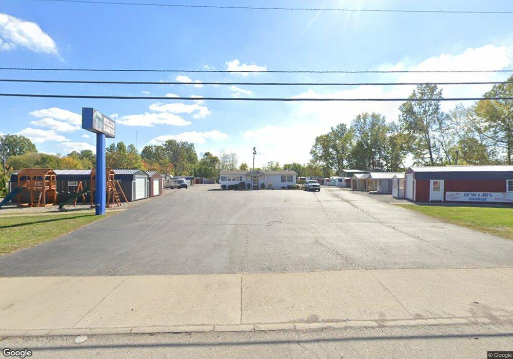
1235 State Route 28 Milford, OH 45150
Estimated Value: $632,337
--
Bed
--
Bath
--
Sq Ft
3.32
Acres
About This Home
This home is located at 1235 State Route 28, Milford, OH 45150 and is currently estimated at $632,337. 1235 State Route 28 is a home located in Clermont County with nearby schools including Milford Senior High School, St. Andrew - St. Elizabeth Ann Seton School, and Milford Christian Academy.
Ownership History
Date
Name
Owned For
Owner Type
Purchase Details
Closed on
Jun 24, 2024
Sold by
Cmh Homes Inc
Bought by
28 Rentals Llc
Current Estimated Value
Home Financials for this Owner
Home Financials are based on the most recent Mortgage that was taken out on this home.
Original Mortgage
$480,000
Outstanding Balance
$465,499
Interest Rate
6.94%
Mortgage Type
Credit Line Revolving
Estimated Equity
$166,838
Purchase Details
Closed on
May 14, 2004
Sold by
Cmh Homes Inc
Bought by
Department Of Transportation
Purchase Details
Closed on
Apr 28, 2003
Sold by
Oakwood Mobile Homes Inc
Bought by
Cmh Homes
Purchase Details
Closed on
Jul 1, 1989
Purchase Details
Closed on
Oct 2, 1984
Create a Home Valuation Report for This Property
The Home Valuation Report is an in-depth analysis detailing your home's value as well as a comparison with similar homes in the area
Home Values in the Area
Average Home Value in this Area
Purchase History
| Date | Buyer | Sale Price | Title Company |
|---|---|---|---|
| 28 Rentals Llc | $600,000 | None Listed On Document | |
| Department Of Transportation | $68,816 | -- | |
| Cmh Homes | $434,700 | -- | |
| -- | $250,000 | -- | |
| -- | $150,000 | -- |
Source: Public Records
Mortgage History
| Date | Status | Borrower | Loan Amount |
|---|---|---|---|
| Open | 28 Rentals Llc | $480,000 |
Source: Public Records
Tax History Compared to Growth
Tax History
| Year | Tax Paid | Tax Assessment Tax Assessment Total Assessment is a certain percentage of the fair market value that is determined by local assessors to be the total taxable value of land and additions on the property. | Land | Improvement |
|---|---|---|---|---|
| 2024 | $11,321 | $133,280 | $130,760 | $2,520 |
| 2023 | $11,773 | $133,280 | $130,760 | $2,520 |
| 2022 | $12,627 | $133,280 | $130,760 | $2,520 |
| 2021 | $12,640 | $133,280 | $130,760 | $2,520 |
| 2020 | $12,338 | $133,280 | $130,760 | $2,520 |
| 2019 | $11,442 | $124,920 | $122,750 | $2,170 |
| 2018 | $11,514 | $124,920 | $122,750 | $2,170 |
| 2017 | $11,674 | $124,260 | $122,750 | $1,510 |
| 2016 | $11,674 | $124,260 | $122,750 | $1,510 |
| 2015 | $11,309 | $124,260 | $122,750 | $1,510 |
| 2014 | $11,309 | $124,260 | $122,750 | $1,510 |
| 2013 | $11,993 | $132,620 | $132,620 | $0 |
Source: Public Records
Map
Nearby Homes
- 1289 Woodville Pike
- 1285 State Rte 28
- 6077 Branch Hill Guinea Pike
- 5942 Pinto Place
- 1201 Sorrel Ln
- 5975 Buckwheat Rd
- 6320 Ashford Dr
- 2403 Traverse Creek Dr
- 5852 Monassas Run Rd
- 1485 Foxtale Ct
- 6211 Spires Dr
- 6108 Donna Jay Dr
- 6049 Delfair Ln
- 5065 Cross Creek Ln
- .6438 ac Buckwheat Rd
- .0288 ac Buckwheat Rd
- 6074 Deerfield Rd Unit 28
- 6074 Deerfield Rd Unit 317
- 6074 Deerfield Rd Unit 314
- 6074 Deerfield Rd Unit 507
- 1235 Ohio 28
- 1237 Ohio 28
- 1223 St Rt 28
- 1259 Holland Dr
- 1220 St Rt 28
- 1236 State Route 28
- 6047 Floyd Place
- 1261 Holland Dr
- 1239 Ohio 28
- 6046 Jerry Lee Dr
- 1263 Holland Dr
- 6049 Floyd Place
- 1240 Ohio 28
- 1260 Holland Dr
- 6048 Jerry Lee Dr
- 6051 Floyd Place
- 1267 Holland Dr
- 6048 Floyd Place
- 1207 Ohio 28
- 6049 Jerry Lee Dr