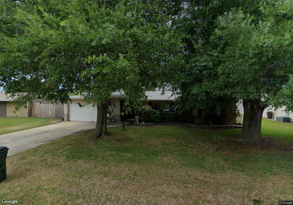
1238 Royal Birkdale Cir Rockledge, FL 32955
Estimated Value: $373,890 - $407,000
4
Beds
2
Baths
2,418
Sq Ft
$160/Sq Ft
Est. Value
About This Home
This home is located at 1238 Royal Birkdale Cir, Rockledge, FL 32955 and is currently estimated at $386,223, approximately $159 per square foot. 1238 Royal Birkdale Cir is a home located in Brevard County with nearby schools including Golfview Elementary School, John F. Kennedy Middle School, and Rockledge Senior High School.
Ownership History
Date
Name
Owned For
Owner Type
Purchase Details
Closed on
May 21, 1996
Sold by
Wood Helene Golding
Bought by
Slater Joseph D and Slater Belinda A
Current Estimated Value
Home Financials for this Owner
Home Financials are based on the most recent Mortgage that was taken out on this home.
Original Mortgage
$84,460
Outstanding Balance
$4,821
Interest Rate
8.02%
Estimated Equity
$381,402
Create a Home Valuation Report for This Property
The Home Valuation Report is an in-depth analysis detailing your home's value as well as a comparison with similar homes in the area
Home Values in the Area
Average Home Value in this Area
Purchase History
| Date | Buyer | Sale Price | Title Company |
|---|---|---|---|
| Slater Joseph D | $82,000 | -- |
Source: Public Records
Mortgage History
| Date | Status | Borrower | Loan Amount |
|---|---|---|---|
| Open | Slater Joseph D | $84,460 |
Source: Public Records
Tax History Compared to Growth
Tax History
| Year | Tax Paid | Tax Assessment Tax Assessment Total Assessment is a certain percentage of the fair market value that is determined by local assessors to be the total taxable value of land and additions on the property. | Land | Improvement |
|---|---|---|---|---|
| 2025 | $1,276 | $119,550 | -- | -- |
| 2024 | $1,248 | $116,190 | -- | -- |
| 2023 | $1,248 | $112,810 | $0 | $0 |
| 2022 | $1,152 | $109,530 | $0 | $0 |
| 2021 | $1,159 | $106,340 | $0 | $0 |
| 2020 | $1,154 | $104,880 | $0 | $0 |
| 2019 | $1,140 | $102,530 | $0 | $0 |
| 2018 | $1,135 | $100,620 | $0 | $0 |
| 2017 | $1,133 | $98,560 | $0 | $0 |
| 2016 | $1,136 | $96,540 | $25,000 | $71,540 |
| 2015 | $1,158 | $95,870 | $22,000 | $73,870 |
| 2014 | $1,153 | $95,110 | $22,000 | $73,110 |
Source: Public Records
Map
Nearby Homes
- 1292 Saint Andrews Dr
- 1303 Georgia Ave
- 1355 Gleneagles Way
- 1221 Saint Andrews Dr
- 1107 Woodlawn Rd
- 1122 Manatee Dr
- 1131 Tarpon Dr
- 1387 Gleneagles Ct
- 1044 Pompano Dr
- 1428 Gleneagles Way
- 1400 Hoy Lake Ct
- 1600 Woodland Dr Unit 4105
- 1600 Woodland Dr Unit 4205
- 1600 Woodland Dr Unit 8209
- 1600 Woodland Dr Unit 4206
- 935 S Varr Ave
- 980 Miracle Way
- 1009 S Fiske Blvd
- 1233 Gordon Ave
- 0 Barton Blvd E Unit 23200182
- 1242 Royal Birkdale Cir
- 1234 Royal Birkdale Cir
- 1215 Wentworth Cir
- 1211 Wentworth Cir
- 1219 Wentworth Cir
- 1239 Royal Birkdale Cir
- 1246 Royal Birkdale Cir
- 1230 Royal Birkdale Cir
- 1243 Royal Birkdale Cir
- 1223 Wentworth Cir
- 1207 Wentworth Cir
- 1342 Royal Birkdale Cir
- 1337 Royal Birkdale Cir
- 1250 Royal Birkdale Cir
- 1247 Royal Birkdale Cir
- 1284 Troon Way
- 1214 Wentworth Cir
- 1203 Wentworth Cir
- 1218 Wentworth Cir
- 1278 Troon Way