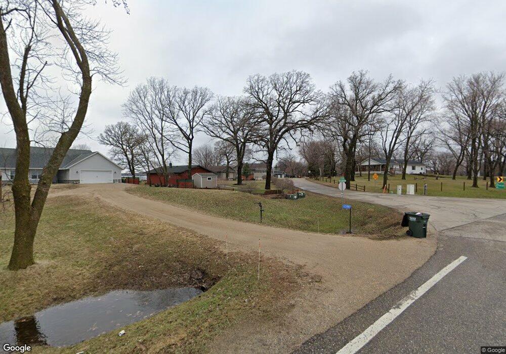
12388 Big Kandi Dr Lake Lillian, MN 56253
Estimated Value: $395,000 - $462,000
--
Bed
--
Bath
1,772
Sq Ft
$241/Sq Ft
Est. Value
About This Home
This home is located at 12388 Big Kandi Dr, Lake Lillian, MN 56253 and is currently estimated at $426,491, approximately $240 per square foot. 12388 Big Kandi Dr is a home with nearby schools including ACGC Elementary School, ACGC Elementary Grades 5 & 6, and A.C.G.C. Secondary.
Ownership History
Date
Name
Owned For
Owner Type
Purchase Details
Closed on
Oct 21, 2019
Sold by
Larson Marilyn M
Bought by
Larson Trust
Current Estimated Value
Home Financials for this Owner
Home Financials are based on the most recent Mortgage that was taken out on this home.
Original Mortgage
$349,780
Outstanding Balance
$307,667
Interest Rate
3.7%
Mortgage Type
Construction
Estimated Equity
$118,824
Purchase Details
Closed on
Sep 17, 2014
Sold by
Larson Gary C and Larson Marilyn M
Bought by
Larson Trust
Create a Home Valuation Report for This Property
The Home Valuation Report is an in-depth analysis detailing your home's value as well as a comparison with similar homes in the area
Home Values in the Area
Average Home Value in this Area
Purchase History
| Date | Buyer | Sale Price | Title Company |
|---|---|---|---|
| Larson Trust | $50,000 | Home Town Title Llc | |
| Larson Trust | -- | -- |
Source: Public Records
Mortgage History
| Date | Status | Borrower | Loan Amount |
|---|---|---|---|
| Open | Larson Trust | $349,780 |
Source: Public Records
Tax History Compared to Growth
Tax History
| Year | Tax Paid | Tax Assessment Tax Assessment Total Assessment is a certain percentage of the fair market value that is determined by local assessors to be the total taxable value of land and additions on the property. | Land | Improvement |
|---|---|---|---|---|
| 2025 | $3,292 | $379,900 | $3,500 | $376,400 |
| 2024 | $3,058 | $373,400 | $3,000 | $370,400 |
| 2023 | $3,140 | $355,900 | $3,000 | $352,900 |
| 2022 | $2,958 | $328,300 | $3,000 | $325,300 |
| 2021 | $46 | $272,200 | $2,300 | $269,900 |
| 2020 | $626 | $20,000 | $2,300 | $17,700 |
| 2019 | $622 | $65,200 | $2,100 | $63,100 |
| 2018 | $1,364 | $64,400 | $2,100 | $62,300 |
| 2017 | $1,368 | $149,400 | $93,600 | $55,800 |
| 2016 | $1,276 | $1,494 | $0 | $0 |
| 2015 | -- | $0 | $0 | $0 |
| 2014 | -- | $0 | $0 | $0 |
Source: Public Records
Map
Nearby Homes
- 8181 79th St SE
- 16121 County Road 4 SE
- 330 1st St W
- 680 1st St E
- 6854 58th Ave SE
- 1675 127th Ave SE
- 6757 164th St SE
- 6551 164th St SE
- 5362 Lake Elizabeth Ln
- 34701 Route 7
- 12505 15th Ave SE
- 7883 15th Ave SE
- 20660 90th Ave SE
- #### 15th Ave SE
- 418 210th Ave SE
- Lot 4 Abbott Dr
- Lot 5 Abbott Dr
- 1308 County Road 9 SE
- 906 Mcdermott Ave
- 7&8 18th St NE
- 9881 123rd Ave SE
- 12420 Big Kandi Dr
- 12434 Big Kandi Dr
- 9867 123rd Ave SE
- 12448 Big Kandi Dr
- 12476 Big Kandi Dr
- 9855 123rd Ave SE
- 9872 123rd Ave SE
- 12516 Big Kandi Dr
- 9813 123rd Ave SE
- 9784 123rd Ave SE
- 12572 Big Kandi Dr
- 9755 123rd Ave SE
- 12600 Big Kandi Dr
- 9699 123rd Ave SE
- 9716 123rd Ave SE
- 9677 123rd Ave SE
- 1 Big Kandi Dr
- 12191 Big Kandi Dr
- 12680 Big Kandi Dr