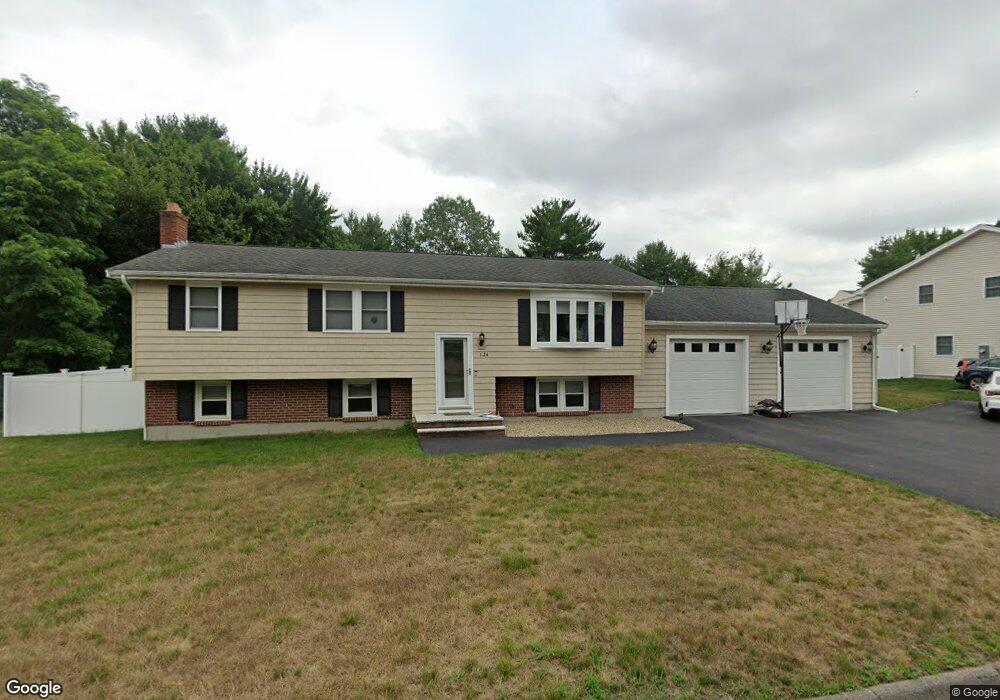
124 Powell St Stoughton, MA 02072
Estimated Value: $676,000 - $719,000
3
Beds
1
Bath
1,408
Sq Ft
$498/Sq Ft
Est. Value
About This Home
This home is located at 124 Powell St, Stoughton, MA 02072 and is currently estimated at $700,607, approximately $497 per square foot. 124 Powell St is a home located in Norfolk County with nearby schools including Helen Hansen Elementary School, Dr. Robert G. O'Donnell Middle School, and Stoughton High School.
Ownership History
Date
Name
Owned For
Owner Type
Purchase Details
Closed on
Jul 18, 2005
Sold by
Berson Lillian D and Berson Ralph
Bought by
Catorio Lanie B and Catorio Michael C
Current Estimated Value
Home Financials for this Owner
Home Financials are based on the most recent Mortgage that was taken out on this home.
Original Mortgage
$298,800
Outstanding Balance
$156,078
Interest Rate
5.67%
Mortgage Type
Purchase Money Mortgage
Estimated Equity
$544,529
Create a Home Valuation Report for This Property
The Home Valuation Report is an in-depth analysis detailing your home's value as well as a comparison with similar homes in the area
Home Values in the Area
Average Home Value in this Area
Purchase History
| Date | Buyer | Sale Price | Title Company |
|---|---|---|---|
| Catorio Lanie B | $373,500 | -- | |
| Catorio Lanie B | $373,500 | -- |
Source: Public Records
Mortgage History
| Date | Status | Borrower | Loan Amount |
|---|---|---|---|
| Open | Catorio Lanie B | $298,800 | |
| Closed | Catorio Lanie B | $56,025 | |
| Closed | Catorio Lanie B | $298,800 |
Source: Public Records
Tax History Compared to Growth
Tax History
| Year | Tax Paid | Tax Assessment Tax Assessment Total Assessment is a certain percentage of the fair market value that is determined by local assessors to be the total taxable value of land and additions on the property. | Land | Improvement |
|---|---|---|---|---|
| 2025 | $7,510 | $606,600 | $226,500 | $380,100 |
| 2024 | $7,317 | $574,800 | $206,900 | $367,900 |
| 2023 | $7,047 | $520,100 | $189,100 | $331,000 |
| 2022 | $6,902 | $479,000 | $181,900 | $297,100 |
| 2021 | $6,519 | $431,700 | $160,500 | $271,200 |
| 2020 | $6,276 | $421,500 | $160,500 | $261,000 |
| 2019 | $6,323 | $412,200 | $160,500 | $251,700 |
| 2018 | $5,606 | $378,500 | $153,400 | $225,100 |
| 2017 | $5,370 | $370,600 | $151,600 | $219,000 |
| 2016 | $5,175 | $345,700 | $137,300 | $208,400 |
| 2015 | $5,005 | $330,800 | $130,200 | $200,600 |
| 2014 | $4,911 | $312,000 | $119,500 | $192,500 |
Source: Public Records
Map
Nearby Homes