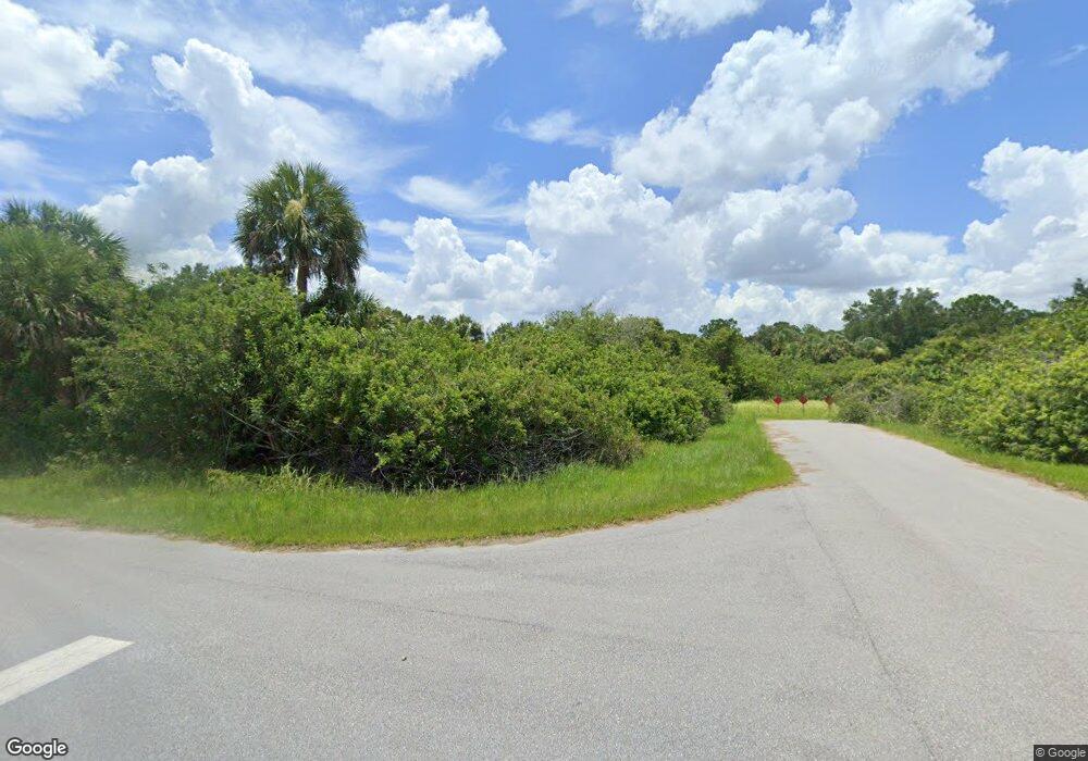
1240 Forrestal St Port Charlotte, FL 33953
Northwest Port Charlotte NeighborhoodEstimated Value: $25,993 - $54,000
--
Bed
--
Bath
--
Sq Ft
0.27
Acres
About This Home
This home is located at 1240 Forrestal St, Port Charlotte, FL 33953 and is currently estimated at $39,997. 1240 Forrestal St is a home located in Charlotte County with nearby schools including Liberty Elementary School, Murdock Middle School, and Port Charlotte High School.
Ownership History
Date
Name
Owned For
Owner Type
Purchase Details
Closed on
Jun 2, 2025
Sold by
Oathout Glenda
Bought by
Valve Express Llc
Current Estimated Value
Purchase Details
Closed on
Feb 15, 2005
Sold by
Stephan Charles and Stephan Chuck
Bought by
Oathout Larry and Oathout Glenda
Purchase Details
Closed on
Jun 30, 2004
Sold by
New Vista Properties Inc
Bought by
Stephan Chuck
Purchase Details
Closed on
Mar 1, 2004
Sold by
Knuutila Paula A
Bought by
New Vista Properties Inc
Purchase Details
Closed on
Mar 30, 1999
Sold by
Knuutila Paula A and Knuutila George
Bought by
Knuutila Paula A
Create a Home Valuation Report for This Property
The Home Valuation Report is an in-depth analysis detailing your home's value as well as a comparison with similar homes in the area
Home Values in the Area
Average Home Value in this Area
Purchase History
| Date | Buyer | Sale Price | Title Company |
|---|---|---|---|
| Valve Express Llc | $15,000 | Gold Crest Title Services | |
| Oathout Larry | $15,000 | Executive Title Ins Svcs Inc | |
| Stephan Chuck | $12,000 | -- | |
| New Vista Properties Inc | $6,000 | -- | |
| Knuutila Paula A | -- | -- |
Source: Public Records
Tax History Compared to Growth
Tax History
| Year | Tax Paid | Tax Assessment Tax Assessment Total Assessment is a certain percentage of the fair market value that is determined by local assessors to be the total taxable value of land and additions on the property. | Land | Improvement |
|---|---|---|---|---|
| 2024 | $143 | $11,475 | $11,475 | -- |
| 2023 | $143 | $4,320 | $0 | $0 |
| 2022 | $131 | $10,200 | $10,200 | $0 |
| 2021 | $86 | $3,570 | $3,570 | $0 |
| 2020 | $86 | $3,570 | $3,570 | $0 |
| 2019 | $87 | $3,570 | $3,570 | $0 |
| 2018 | $80 | $3,315 | $3,315 | $0 |
| 2017 | $89 | $3,795 | $3,795 | $0 |
| 2016 | $87 | $3,634 | $0 | $0 |
| 2015 | $83 | $3,311 | $0 | $0 |
| 2014 | $83 | $3,287 | $0 | $0 |
Source: Public Records
Map
Nearby Homes
- 1264 Forrestal St
- 1130 Forrestal St
- 13057 Batlin Ave
- 1267 Patton St
- 13048 Devereaux Ave
- 1045 Rhinelander St
- 1053 Rhinelander St
- 1039 Gibbon St
- 1086 Rhinelander St
- 1160 Shell St
- 13006 Devereaux Ave
- 13046 Chiminiello Dr
- 1150 or 1160 Delmore St
- 1200 Butterfield St
- 13070 Chiminiello Dr
- 12493 Koenig Ln
- 13069 Arizona Ave
- 13101 Chiminiello Dr
- 1307 Quantico St
- 1315 Quantico St
- 1368 Forrestal St
- 1272 Forrestal St
- 1280 Forrestal St
- 1139 Forrestal St
- 1031 Forrestal St
- 1320 Forrestal St
- 1349 Forrestal St
- 1373 Forrestal St
- 1105 Forrestal St
- 1341 Forrestal St
- 1158 Rhinelander St
- 1130 Stewart St
- 1126 Rhinelander St
- 12986 Batlin Ave
- 1159 Rhinelander St
- 13025 Batlin Ave
- 1149 Rhinelander St
- 1126 & 113 Rhinelander St
- 1141 Rhinelander St
- 13033 Batlin Ave
