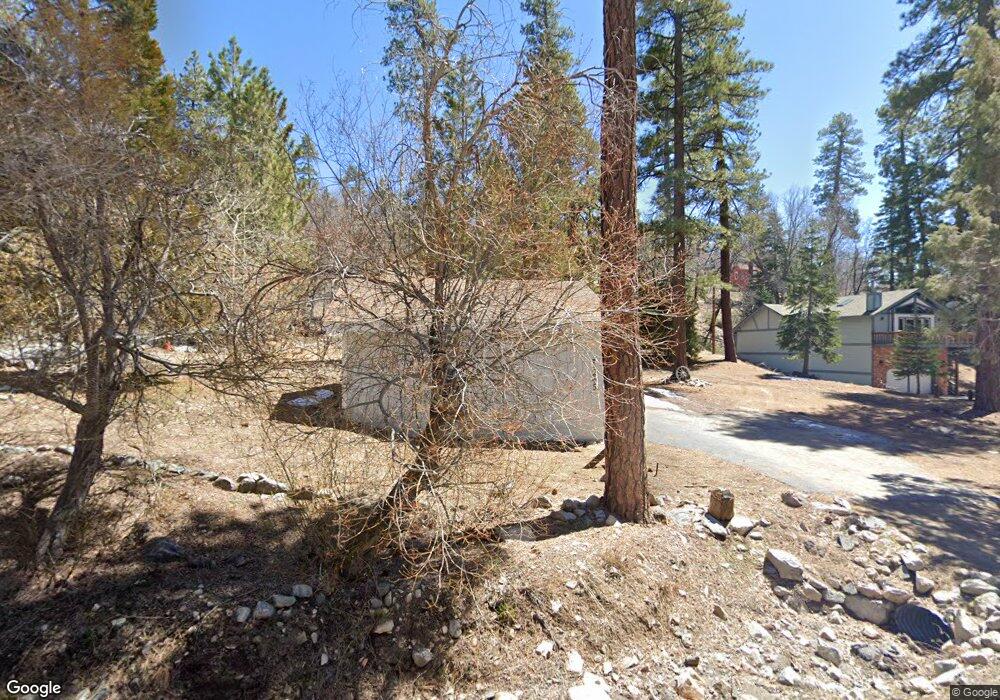
1245 Brookside Ln Fawnskin, CA 92333
Estimated Value: $448,000 - $515,000
1
Bed
1
Bath
1,073
Sq Ft
$452/Sq Ft
Est. Value
About This Home
This home is located at 1245 Brookside Ln, Fawnskin, CA 92333 and is currently estimated at $484,997, approximately $452 per square foot. 1245 Brookside Ln is a home with nearby schools including North Shore Elementary School, Big Bear Middle School, and Big Bear High School.
Ownership History
Date
Name
Owned For
Owner Type
Purchase Details
Closed on
Oct 22, 2021
Sold by
Pingle Robert A and Pingle Carol S
Bought by
Pingle Corey
Current Estimated Value
Home Financials for this Owner
Home Financials are based on the most recent Mortgage that was taken out on this home.
Original Mortgage
$285,000
Outstanding Balance
$260,825
Interest Rate
3.05%
Mortgage Type
New Conventional
Estimated Equity
$224,172
Purchase Details
Closed on
Dec 14, 2018
Sold by
Pingle Robert A
Bought by
Pingle Robert A and Pingle Carol S
Purchase Details
Closed on
Apr 3, 2015
Sold by
Pingle Raymond W
Bought by
Pingle Trust
Purchase Details
Closed on
Aug 22, 2005
Sold by
Pingle Robert A
Bought by
Pingle Raymond W and Bailey Elaine S
Create a Home Valuation Report for This Property
The Home Valuation Report is an in-depth analysis detailing your home's value as well as a comparison with similar homes in the area
Home Values in the Area
Average Home Value in this Area
Purchase History
| Date | Buyer | Sale Price | Title Company |
|---|---|---|---|
| Pingle Corey | $380,000 | Wfg National Title | |
| Pingle Robert A | -- | None Available | |
| Pingle Trust | -- | None Available | |
| Pingle Raymond W | -- | -- |
Source: Public Records
Mortgage History
| Date | Status | Borrower | Loan Amount |
|---|---|---|---|
| Open | Pingle Corey | $285,000 |
Source: Public Records
Tax History Compared to Growth
Tax History
| Year | Tax Paid | Tax Assessment Tax Assessment Total Assessment is a certain percentage of the fair market value that is determined by local assessors to be the total taxable value of land and additions on the property. | Land | Improvement |
|---|---|---|---|---|
| 2025 | $3,833 | $343,832 | $79,591 | $264,241 |
| 2024 | $3,833 | $337,090 | $78,030 | $259,060 |
| 2023 | $3,788 | $330,480 | $76,500 | $253,980 |
| 2022 | $996 | $324,000 | $75,000 | $249,000 |
| 2021 | $981 | $64,368 | $8,605 | $55,763 |
| 2020 | $992 | $63,708 | $8,517 | $55,191 |
| 2019 | $974 | $62,459 | $8,350 | $54,109 |
| 2018 | $788 | $61,234 | $8,186 | $53,048 |
| 2017 | $780 | $60,033 | $8,025 | $52,008 |
| 2016 | $766 | $58,856 | $7,868 | $50,988 |
| 2015 | $761 | $57,972 | $7,750 | $50,222 |
| 2014 | -- | $56,836 | $7,598 | $49,238 |
Source: Public Records
Map
Nearby Homes
- 39342 Mohawk Dr
- 39326 Cedar Dell Rd
- 1127 Crags Ln
- 0 Bruin Trail Unit 32300136
- 0 Cedar Dell Rd Unit 32202725
- 1118 Bruin Trail
- 39239 Mohawk Dr
- 0 Raccoon Dr Unit 32501518
- 1247 Piney Ridge Place
- 1106 Comanche Dr
- 39325 Lodge Rd
- 39177 Arapahoe Rd
- 39337 Garden Place
- 39178 Sioux Dr
- 0 N Shore Dr Unit IG25012446
- 0 N Shore Dr Unit 32405685
- 39210 N Shore Dr
- 39226 N Shore Dr
- 1137 Ridge Rd
- 39164 Mohawk Dr
- 1239 Brookside Ln
- 1231 Brookside Ln
- 1265 Brookside Ln
- 39367 Cedar Dell Rd
- 1247 Crags Ln
- 1231 Crags Ln
- 1217 Brookside Ln
- 1221 Crags Ln
- 39347 Cedar Dell
- 1277-1285 Brookside Ln
- 1198 Crags Ln
- 39372 Cedar Dell
- 39356 Cedar Dell Rd
- 1234 Bruin Trail
- 1199 Brookside Ln
- 39341 Cedar-Dell
- 1188 Bruin Trail
- 1201 Crags Ln
- 1220 Bruin Trail
- 39331 Cedar Dell