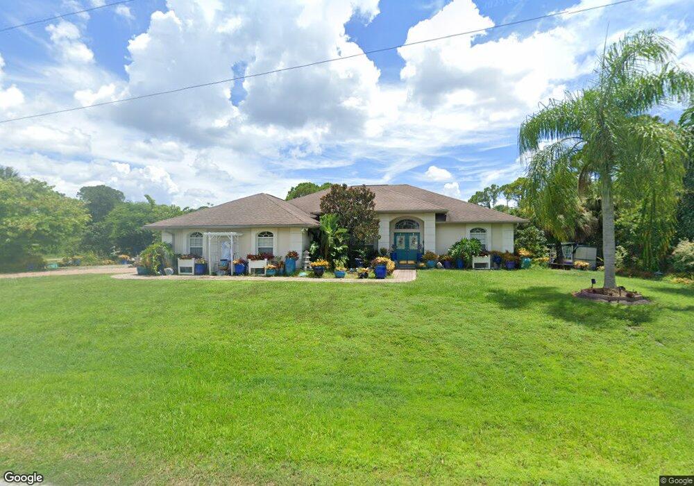
12455 Defender Dr Port Charlotte, FL 33953
Northwest Port Charlotte NeighborhoodEstimated Value: $514,000 - $650,000
3
Beds
2
Baths
2,233
Sq Ft
$264/Sq Ft
Est. Value
About This Home
This home is located at 12455 Defender Dr, Port Charlotte, FL 33953 and is currently estimated at $589,091, approximately $263 per square foot. 12455 Defender Dr is a home located in Charlotte County with nearby schools including Liberty Elementary School, Murdock Middle School, and Port Charlotte High School.
Ownership History
Date
Name
Owned For
Owner Type
Purchase Details
Closed on
Apr 12, 2000
Sold by
Atlantic Gulf Communities Corp
Bought by
Saunders Stephen J and Saunders Carol G
Current Estimated Value
Purchase Details
Closed on
Feb 16, 1998
Sold by
Wozniak Ronald J and Wozniak Kathleen E
Bought by
Saunders Stephen and Saunders Carol
Purchase Details
Closed on
Sep 12, 1996
Sold by
Stephan Charles P
Bought by
Wozniak Ronald J and Wozniak Kathleen E
Create a Home Valuation Report for This Property
The Home Valuation Report is an in-depth analysis detailing your home's value as well as a comparison with similar homes in the area
Home Values in the Area
Average Home Value in this Area
Purchase History
| Date | Buyer | Sale Price | Title Company |
|---|---|---|---|
| Saunders Stephen J | $3,500 | -- | |
| Saunders Stephen | $19,500 | -- | |
| Wozniak Ronald J | -- | -- | |
| Wozniak Ronald J | $17,000 | -- |
Source: Public Records
Tax History Compared to Growth
Tax History
| Year | Tax Paid | Tax Assessment Tax Assessment Total Assessment is a certain percentage of the fair market value that is determined by local assessors to be the total taxable value of land and additions on the property. | Land | Improvement |
|---|---|---|---|---|
| 2023 | $3,357 | $166,392 | $0 | $0 |
| 2022 | $3,239 | $161,546 | $0 | $0 |
| 2021 | $3,231 | $156,841 | $0 | $0 |
| 2020 | $3,169 | $154,676 | $0 | $0 |
| 2019 | $3,070 | $151,198 | $0 | $0 |
| 2018 | $2,873 | $148,379 | $0 | $0 |
| 2017 | $2,846 | $145,327 | $0 | $0 |
| 2016 | $2,829 | $142,338 | $0 | $0 |
| 2015 | $2,823 | $141,349 | $0 | $0 |
| 2014 | $2,601 | $140,227 | $0 | $0 |
Source: Public Records
Map
Nearby Homes
- 1392 Liggett Cir
- 1288 Wheatley St
- 12359 Corporal Cir
- 12256 Corporal Cir
- 12393 Koenig Ln
- 12281 Greenleaf Ln
- 12345 Greenleaf Ln
- 12360 Greenleaf Ln
- 1343 Underhill Cir
- 12493 Koenig Ln
- 12468 Koenig Ln
- 12477 Koenig Ln
- 12453 Koenig Ln
- 1369 Glanmore Dr
- 12280 Greenleaf Ln
- 12301 Endicott Ln Unit 10
- 1259 Underhill Cir
- 1200 Butterfield St
- 1310 Braklet Terrace
- 12262 Toynbee Ln
- 1269 Liggett Cir
- 12456 Defender Dr
- 1235 Davenport Dr
- 1250 Liggett Cir
- 1260 Liggett Cir
- 1268 Liggett Cir
- 12440 Defender Dr
- 1236 Davenport Dr
- 1276 & 1268 Liggett Cir
- 1276 Liggett Cir
- 1225 Davenport Dr
- 1256 Wheatley St
- 1248 Wheatley St
- 1456 Liggett Cir
- 12432 Defender Dr
- 1456 Liggett Cir
- 1432 Liggett Cir
- 1233 Wheatley St
- 1284 Liggett Cir
- 1293 Liggett Cir