125 Barnes Rd Oak Bluffs, MA 02557
Oak Bluffs NeighborhoodEstimated Value: $1,444,000 - $3,698,000
2
Beds
4
Baths
2,600
Sq Ft
$1,066/Sq Ft
Est. Value
About This Home
This home is located at 125 Barnes Rd, Oak Bluffs, MA 02557 and is currently estimated at $2,772,588, approximately $1,066 per square foot. 125 Barnes Rd is a home with nearby schools including Oak Bluffs Elementary School and Martha's Vineyard Regional High School.
Ownership History
Date
Name
Owned For
Owner Type
Purchase Details
Closed on
Dec 14, 2011
Sold by
Orseck Gary A
Bought by
Orseck Gary A and Orseck Robin L
Current Estimated Value
Purchase Details
Closed on
Jan 8, 2010
Sold by
125 Barnes Road Rt
Bought by
Orseck Gary A
Home Financials for this Owner
Home Financials are based on the most recent Mortgage that was taken out on this home.
Original Mortgage
$729,750
Interest Rate
4.78%
Mortgage Type
Purchase Money Mortgage
Purchase Details
Closed on
Jul 14, 2006
Sold by
Williams Sarah E
Bought by
125 Barnes Road Rt
Create a Home Valuation Report for This Property
The Home Valuation Report is an in-depth analysis detailing your home's value as well as a comparison with similar homes in the area
Home Values in the Area
Average Home Value in this Area
Purchase History
| Date | Buyer | Sale Price | Title Company |
|---|---|---|---|
| Orseck Gary A | -- | -- | |
| Orseck Gary A | $1,668,000 | -- | |
| 125 Barnes Road Rt | $950,000 | -- |
Source: Public Records
Mortgage History
| Date | Status | Borrower | Loan Amount |
|---|---|---|---|
| Previous Owner | Orseck Gary A | $729,750 |
Source: Public Records
Tax History Compared to Growth
Tax History
| Year | Tax Paid | Tax Assessment Tax Assessment Total Assessment is a certain percentage of the fair market value that is determined by local assessors to be the total taxable value of land and additions on the property. | Land | Improvement |
|---|---|---|---|---|
| 2025 | $16,405 | $3,248,500 | $2,259,200 | $989,300 |
| 2024 | $16,146 | $3,087,100 | $2,053,100 | $1,034,000 |
| 2023 | $15,918 | $3,014,800 | $1,994,900 | $1,019,900 |
| 2022 | $15,602 | $2,297,800 | $1,525,600 | $772,200 |
| 2021 | $8,979 | $1,986,200 | $1,346,300 | $639,900 |
| 2020 | $9,905 | $1,876,700 | $1,282,200 | $594,500 |
| 2019 | $14,024 | $1,823,700 | $1,239,500 | $584,200 |
| 2018 | $8,211 | $1,761,900 | $1,177,800 | $584,100 |
| 2017 | $13,344 | $1,637,300 | $1,116,500 | $520,800 |
| 2016 | $12,905 | $1,591,300 | $1,151,000 | $440,300 |
| 2015 | $12,316 | $1,547,200 | $1,138,900 | $408,300 |
| 2014 | $12,492 | $1,599,500 | $1,184,800 | $414,700 |
Source: Public Records
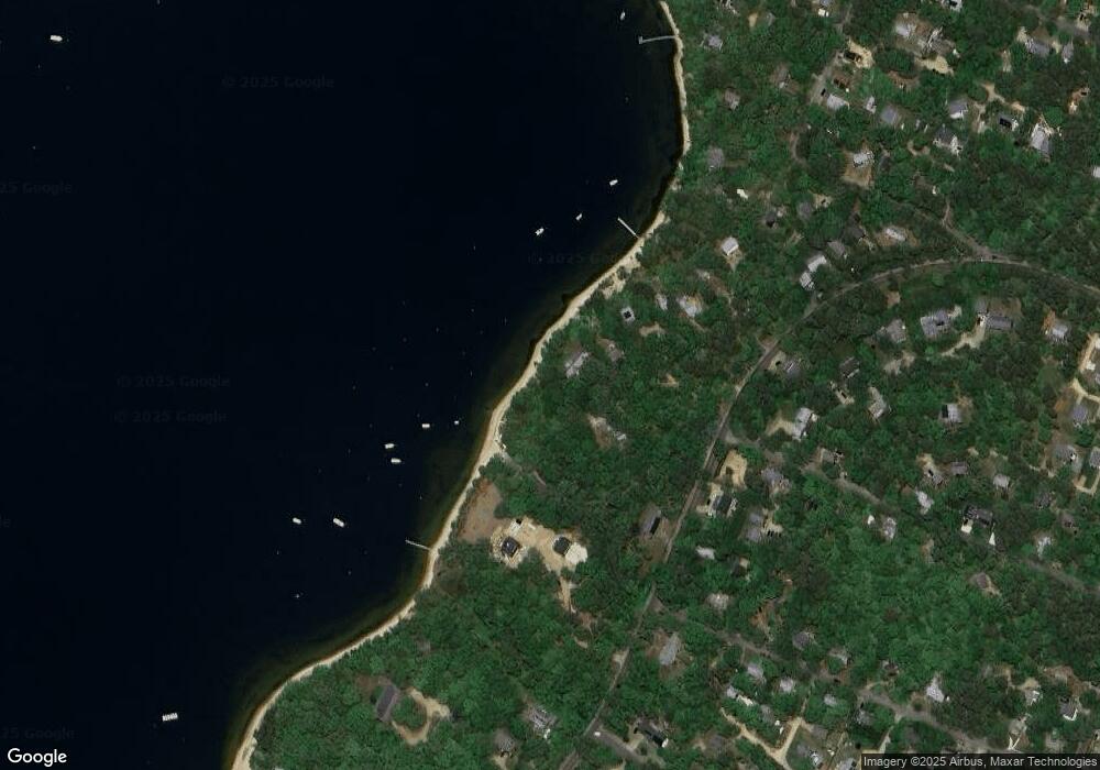
Map
Nearby Homes
- 170 Barnes Rd
- 1 Onondaga Ave
- 0-A California Ave Unit Part lot 79
- 0-B California Ave Unit Part lot 79
- 0 California Ave Unit 76 42933
- 72 Washington Ave
- 69 Summit Ave
- 57 Hines Point Rd
- 96 Manchester Ave
- 28 Barling Ave
- 5 Weaver Ln
- 267 Barnes Rd
- 0 Weaver Ln
- 70 Carol Ln
- 60R Carol Ln
- 187 Lagoon Pond Rd
- 9 Bayview Ave
- 48 Vineyard Avenue Extension
- 60 -R Carol Ln
- 129 Beach Rd
- 125 Barnes Rd
- 121 Barnes Rd
- 129 Barnes Rd
- 111 Barnes Rd
- 117 Barnes Rd
- 151 Barnes Rd
- 109 Barnes Rd
- 151 Barnes Rd
- 134 Barnes Rd
- 107 Barnes Rd
- 130 Barnes Rd
- 107 & 105 Barnes Rd
- 136 Hudson Ave
- 112 Barnes Rd
- 114 Hudson Ave
- 113 California Ave
- 106 California Ave
- 100 California Ave
- 104 California Ave
- 32 Linden Ave