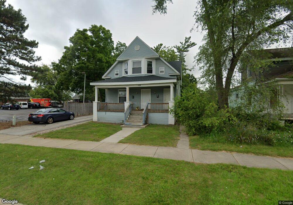
125 N Mason St Unit 1 Saginaw, MI 48602
Covenant NeighborhoodEstimated Value: $87,000 - $107,000
2
Beds
1
Bath
--
Sq Ft
6,098
Sq Ft Lot
About This Home
This home is located at 125 N Mason St Unit 1, Saginaw, MI 48602 and is currently estimated at $96,667. 125 N Mason St Unit 1 is a home located in Saginaw County with nearby schools including Herig Elementary School, Thompson Middle School, and Arthur Hill High School.
Ownership History
Date
Name
Owned For
Owner Type
Purchase Details
Closed on
Jan 14, 2019
Sold by
Braddock Demetrius
Bought by
Mc Rentals Llc
Current Estimated Value
Purchase Details
Closed on
Nov 14, 2016
Sold by
Novak Timothy M
Bought by
Saginaw County Land Bank Authority
Purchase Details
Closed on
Nov 11, 2008
Sold by
Deutsche Bank National Tr Co
Bought by
Cooper James G
Purchase Details
Closed on
Aug 1, 2008
Sold by
Jacques Robert M and Jacques Pamela J
Bought by
Deutsche Bank National Tr Co
Purchase Details
Closed on
Apr 10, 1995
Sold by
Jacques Robert M
Bought by
Jacques Robert M and Jacques Pamela J
Create a Home Valuation Report for This Property
The Home Valuation Report is an in-depth analysis detailing your home's value as well as a comparison with similar homes in the area
Home Values in the Area
Average Home Value in this Area
Purchase History
| Date | Buyer | Sale Price | Title Company |
|---|---|---|---|
| Mc Rentals Llc | $157,743 | -- | |
| Saginaw County Land Bank Authority | -- | None Available | |
| Cooper James G | $10,000 | -- | |
| Deutsche Bank National Tr Co | $66,900 | -- | |
| Jacques Robert M | -- | -- |
Source: Public Records
Tax History Compared to Growth
Tax History
| Year | Tax Paid | Tax Assessment Tax Assessment Total Assessment is a certain percentage of the fair market value that is determined by local assessors to be the total taxable value of land and additions on the property. | Land | Improvement |
|---|---|---|---|---|
| 2025 | $2,334 | $46,100 | $0 | $0 |
| 2024 | $1,909 | $41,600 | $0 | $0 |
| 2023 | $1,832 | $36,800 | $0 | $0 |
| 2022 | $2,141 | $31,000 | $0 | $0 |
| 2021 | $2,015 | $27,400 | $0 | $0 |
| 2020 | $1,841 | $27,400 | $0 | $0 |
| 2019 | $1,573 | $25,400 | $900 | $24,500 |
| 2018 | $1,234 | $22,360 | $0 | $0 |
| 2017 | $0 | $0 | $0 | $0 |
| 2016 | -- | $22,439 | $0 | $0 |
| 2014 | -- | $22,105 | $0 | $21,023 |
| 2013 | -- | $22,105 | $0 | $0 |
Source: Public Records
Map
Nearby Homes
- 211 N Woodbridge St
- 129 S Oakley St
- 1014 Hancock St
- 1315 Adams St
- 1420 Adams St
- 1003 Hancock St
- 412 N Oakley St
- 413 N Bond St
- 1118 Cass St
- 401 N Porter St
- 1610 Cleveland St
- 310 S Bates St
- 203 N Webster St
- 311 S Porter St
- 1509 Monroe St
- 125 S Webster St
- 2403 Stobbe St
- 1323 Mackinaw St
- 1203 Mackinaw St
- 1617 Van Buren St
- 125 N Mason St
- 137 N Mason St
- 118 N Woodbridge St
- 118 N Woodbridge St
- 122 N Mason St
- 128 N Woodbridge St
- 112 N Woodbridge St
- 132 N Woodbridge St
- 138 N Woodbridge St
- 1216 Court St
- 1302 Hancock St
- 1308 Hancock St
- 1220 Hancock St
- 1314 Hancock St
- 1208 Court St
- 1214 Hancock St
- 1214 Court St
- 1320 Hancock St
- 1210 Hancock St
- 213 N Mason St