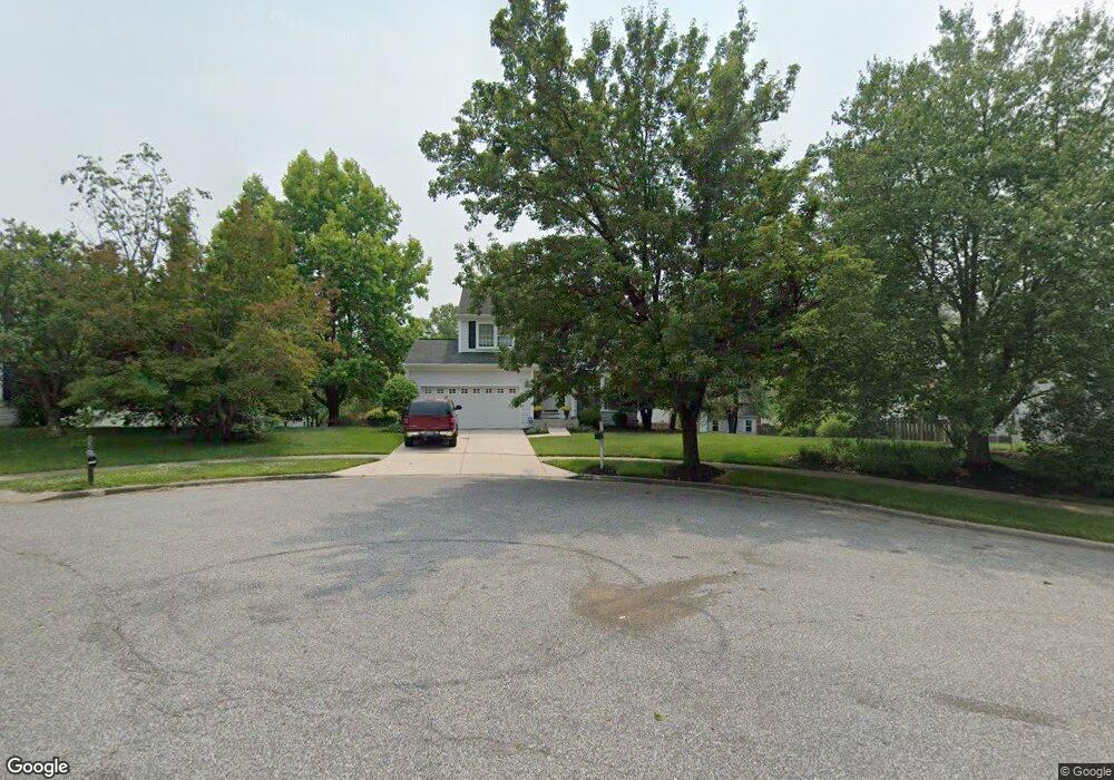
12511 Kingstead Ct Bowie, MD 20721
Woodmore NeighborhoodEstimated Value: $450,916 - $564,000
--
Bed
3
Baths
1,896
Sq Ft
$275/Sq Ft
Est. Value
About This Home
This home is located at 12511 Kingstead Ct, Bowie, MD 20721 and is currently estimated at $521,972, approximately $275 per square foot. 12511 Kingstead Ct is a home located in Prince George's County with nearby schools including Kingsford Elementary School, Ernest Everett Just Middle, and Charles Herbert Flowers High School.
Ownership History
Date
Name
Owned For
Owner Type
Purchase Details
Closed on
Aug 11, 1995
Sold by
Zimmer Robert W
Bought by
Overby Carl E
Current Estimated Value
Home Financials for this Owner
Home Financials are based on the most recent Mortgage that was taken out on this home.
Original Mortgage
$167,890
Interest Rate
7.48%
Purchase Details
Closed on
Aug 15, 1989
Sold by
Richmond American
Bought by
Zimmer Robert W and Chocola Yvette J
Create a Home Valuation Report for This Property
The Home Valuation Report is an in-depth analysis detailing your home's value as well as a comparison with similar homes in the area
Home Values in the Area
Average Home Value in this Area
Purchase History
| Date | Buyer | Sale Price | Title Company |
|---|---|---|---|
| Overby Carl E | $163,000 | -- | |
| Zimmer Robert W | $146,100 | -- |
Source: Public Records
Mortgage History
| Date | Status | Borrower | Loan Amount |
|---|---|---|---|
| Closed | Overby Carl E | $167,890 |
Source: Public Records
Tax History Compared to Growth
Tax History
| Year | Tax Paid | Tax Assessment Tax Assessment Total Assessment is a certain percentage of the fair market value that is determined by local assessors to be the total taxable value of land and additions on the property. | Land | Improvement |
|---|---|---|---|---|
| 2025 | $399 | $413,000 | $101,300 | $311,700 |
| 2024 | $399 | $385,300 | $0 | $0 |
| 2023 | $398 | $357,600 | $0 | $0 |
| 2022 | $398 | $329,900 | $101,300 | $228,600 |
| 2021 | $398 | $319,800 | $0 | $0 |
| 2020 | $398 | $309,700 | $0 | $0 |
| 2019 | $398 | $299,600 | $100,600 | $199,000 |
| 2018 | $398 | $286,133 | $0 | $0 |
| 2017 | $398 | $272,667 | $0 | $0 |
| 2016 | -- | $259,200 | $0 | $0 |
| 2015 | $861 | $253,633 | $0 | $0 |
| 2014 | $861 | $248,067 | $0 | $0 |
Source: Public Records
Map
Nearby Homes
- 1100 Kings Heather Dr
- 999 Kings Heather Dr
- 12203 Kings Arrow St
- 1116 Kings Tree Dr
- 83 Watkins Park Dr
- 13006 Brice Ct
- 13216 Fox Bow Dr Unit 403
- 13216 Fox Bow Dr Unit 305
- 120 Old Enterprise Rd
- 13200 Wright Place
- 136 Old Enterprise Rd
- 12215 Wimbleton St
- 12900 Fox Bow Dr Unit 206
- 12812 Staton Ct
- 1758 Albert Dr
- 12916 Fox Bow Dr Unit 107
- 13400 Messenger Place
- 2101 Bermondsey Dr
- 12001 Shadystone Terrace
- 100 Essenton Dr
- 12509 Kingstead Ct
- 1119 Kings Heather Dr
- 12513 Kingstead Ct
- 1117 Kings Heather Dr
- 1201 Kings Heather Dr
- 12514 Kingstead Ct
- 1115 Kings Heather Dr
- 12507 Kingstead Ct
- 12512 Kingstead Ct
- 12510 Kingstead Ct
- 1203 Kings Heather Dr
- 12508 Kingstead Ct
- 1214 Kingsbury Dr
- 1212 Kingsbury Dr
- 1216 Kingsbury Dr
- 1113 Kings Heather Dr
- 12505 Kingstead Ct
- 1200 Kings Heather Dr
- 12506 Kingstead Ct
- 1210 Kingsbury Dr