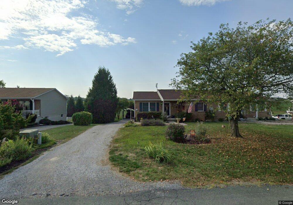
12549 Carol Ave Greencastle, PA 17225
Estimated Value: $190,000 - $235,000
--
Bed
--
Bath
956
Sq Ft
$220/Sq Ft
Est. Value
About This Home
This home is located at 12549 Carol Ave, Greencastle, PA 17225 and is currently estimated at $210,206, approximately $219 per square foot. 12549 Carol Ave is a home located in Franklin County with nearby schools including Greencastle-Antrim Primary School, Greencastle-Antrim Elementary School, and Greencastle-Antrim Middle School.
Ownership History
Date
Name
Owned For
Owner Type
Purchase Details
Closed on
Apr 4, 2012
Sold by
Brown Brandie B and Brown Shannon
Bought by
Yacovone John C
Current Estimated Value
Home Financials for this Owner
Home Financials are based on the most recent Mortgage that was taken out on this home.
Original Mortgage
$89,100
Outstanding Balance
$61,658
Interest Rate
3.95%
Mortgage Type
New Conventional
Estimated Equity
$148,548
Create a Home Valuation Report for This Property
The Home Valuation Report is an in-depth analysis detailing your home's value as well as a comparison with similar homes in the area
Home Values in the Area
Average Home Value in this Area
Purchase History
| Date | Buyer | Sale Price | Title Company |
|---|---|---|---|
| Yacovone John C | $99,000 | None Available |
Source: Public Records
Mortgage History
| Date | Status | Borrower | Loan Amount |
|---|---|---|---|
| Open | Yacovone John C | $89,100 |
Source: Public Records
Tax History Compared to Growth
Tax History
| Year | Tax Paid | Tax Assessment Tax Assessment Total Assessment is a certain percentage of the fair market value that is determined by local assessors to be the total taxable value of land and additions on the property. | Land | Improvement |
|---|---|---|---|---|
| 2025 | $2,339 | $13,980 | $670 | $13,310 |
| 2024 | $2,122 | $13,980 | $670 | $13,310 |
| 2023 | $2,097 | $13,980 | $670 | $13,310 |
| 2022 | $2,097 | $13,980 | $670 | $13,310 |
| 2021 | $2,056 | $13,980 | $670 | $13,310 |
| 2020 | $2,002 | $13,980 | $670 | $13,310 |
| 2019 | $1,916 | $13,690 | $670 | $13,020 |
| 2018 | $1,896 | $13,690 | $670 | $13,020 |
| 2017 | $1,829 | $13,550 | $670 | $12,880 |
| 2016 | $388 | $13,550 | $670 | $12,880 |
| 2015 | $362 | $13,550 | $670 | $12,880 |
| 2014 | $362 | $13,550 | $670 | $12,880 |
Source: Public Records
Map
Nearby Homes
- 10135 Jasper Dr
- 12689 Williamsport Pike
- 20 Helens Dr
- 11765 Melrose Ave
- 10937 Grant Shook Rd
- 10925 Grant Shook Rd
- 707 Shook Ct W
- 281 Toms Ln
- 12976 Daybreak Ln
- 763 Joy Dr
- 2428 Pikeside Dr
- 1223 E Pebblebrook Dr
- 11498 Nicole Dr
- 270 Paradise View Dr
- 642 Milnor Rd
- 460 Paradise View Dr
- Lot # 6-36 Paradise View Dr
- 0 Molly Pitcher Hwy Unit PAFL178468
- 0 Molly Pitcher Hwy Unit PAFL2030380
- 375 Carolle St
- 12569 Carol Ave
- 12457 Carol Ave
- 12525 Carol Ave
- 12571 Carol Ave
- 12523 Carol Ave
- 12591 Carol Ave
- 12591 Carol Ave Unit 16A
- 12558 Carol Ave
- 12593 Carol Ave
- 12540 Carol Ave
- 12572 Carol Ave
- 12501 Carol Ave
- 12574 Carol Ave
- 12518 Carol Ave
- 12613 Carol Ave
- 12600 Carol Ave
- 12602 Carol Ave
- 12615 Carol Ave
- 1378 Lisa Dr
- 12622 Carol Ave