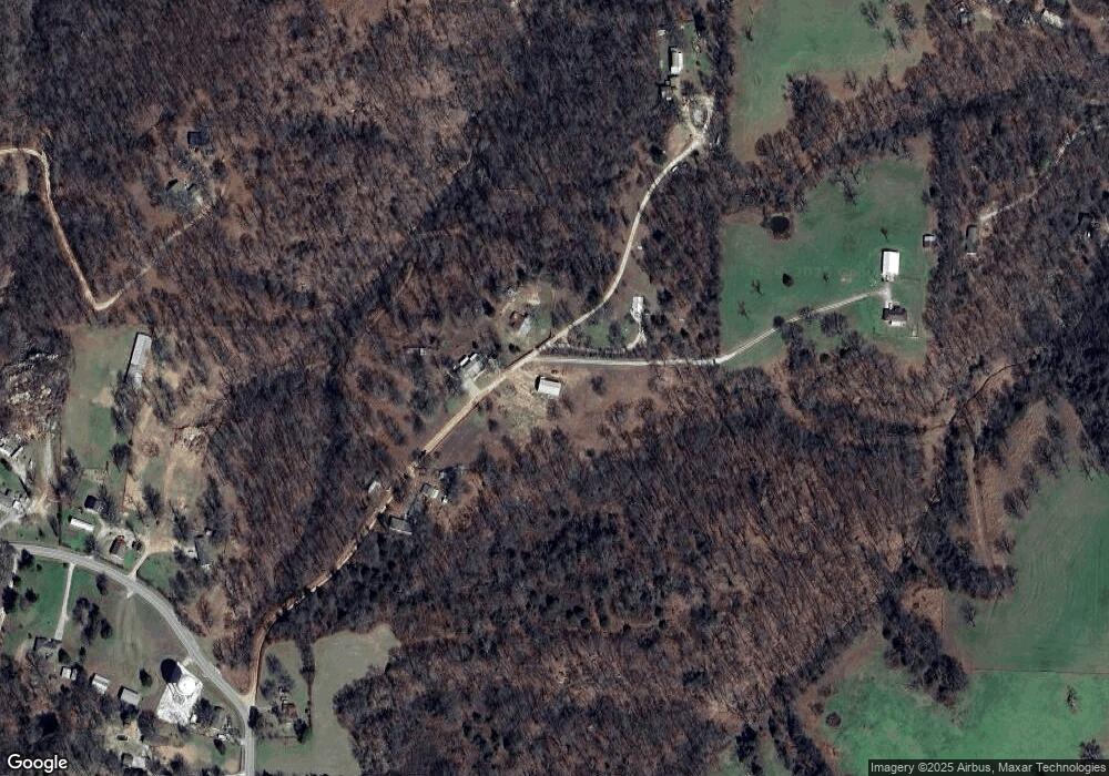
12552 Deason Ln Rogers, AR 72756
Estimated Value: $268,000 - $473,000
--
Bed
--
Bath
2,040
Sq Ft
$171/Sq Ft
Est. Value
About This Home
This home is located at 12552 Deason Ln, Rogers, AR 72756 and is currently estimated at $349,678, approximately $171 per square foot. 12552 Deason Ln is a home with nearby schools including Northside Elementary School, Lingle Middle School, and Rogers Heritage High School.
Ownership History
Date
Name
Owned For
Owner Type
Purchase Details
Closed on
Mar 29, 2017
Sold by
Martin Rodney B and Martin Charlotte J
Bought by
Rodriguez Alicia
Current Estimated Value
Purchase Details
Closed on
Jun 1, 2004
Bought by
Martin 10 and Martin 38
Purchase Details
Closed on
May 27, 2004
Bought by
Martin 10 and Martin 38
Purchase Details
Closed on
Sep 28, 1995
Bought by
Pennigton
Purchase Details
Closed on
Jul 22, 1994
Bought by
Mahurin
Purchase Details
Closed on
Feb 26, 1986
Bought by
Pierson
Purchase Details
Closed on
Feb 25, 1986
Bought by
Elbrecht
Purchase Details
Closed on
Nov 21, 1985
Bought by
Elder
Purchase Details
Closed on
Feb 8, 1983
Bought by
Elder
Create a Home Valuation Report for This Property
The Home Valuation Report is an in-depth analysis detailing your home's value as well as a comparison with similar homes in the area
Home Values in the Area
Average Home Value in this Area
Purchase History
| Date | Buyer | Sale Price | Title Company |
|---|---|---|---|
| Rodriguez Alicia | $164,000 | None Available | |
| Martin 10 | $90,000 | -- | |
| Martin 10 | $90,000 | -- | |
| Pennigton | -- | -- | |
| Mahurin | $35,000 | -- | |
| Pierson | -- | -- | |
| Elbrecht | -- | -- | |
| Elder | -- | -- | |
| Elder | -- | -- |
Source: Public Records
Tax History Compared to Growth
Tax History
| Year | Tax Paid | Tax Assessment Tax Assessment Total Assessment is a certain percentage of the fair market value that is determined by local assessors to be the total taxable value of land and additions on the property. | Land | Improvement |
|---|---|---|---|---|
| 2025 | $129 | $2,538 | $148 | $2,390 |
| 2024 | $122 | $2,538 | $148 | $2,390 |
| 2023 | $122 | $2,530 | $140 | $2,390 |
| 2022 | $131 | $2,530 | $140 | $2,390 |
| 2021 | $131 | $2,530 | $140 | $2,390 |
| 2020 | $132 | $2,540 | $150 | $2,390 |
| 2019 | $132 | $2,540 | $150 | $2,390 |
| 2018 | $132 | $2,540 | $150 | $2,390 |
| 2017 | $132 | $2,540 | $150 | $2,390 |
| 2016 | $248 | $5,160 | $2,770 | $2,390 |
| 2015 | $702 | $14,590 | $5,450 | $9,140 |
| 2014 | $752 | $14,590 | $5,450 | $9,140 |
Source: Public Records
Map
Nearby Homes
- 13124 Scenic Dr
- 989 Red Cedar Place
- 969 Rader Rd
- 12831 Douglas Ln
- TBD Rader Rd
- 5219 Joe Ln
- 0 Rader Rd Unit 1290308
- 2612 Fairway Cir
- 1125 Bunker Dr
- 13585 Andy Jack Rd
- 41 W Fox Run
- 12437 Wildwood Dr
- 000 Peck Rd
- 329 Rader Rd
- 12620 Lindy Ln
- 2170 Hopkins Ln
- 1417 Lee St
- 13482 Sugar Creek Rd
- 469 Sheppard Rd
- Lot 36 & 37 Hopkins Ln
- 0 Deason Ln Unit 566699
- 0 Deason Ln Unit 639267
- 0 Deason Ln Unit 639281
- 0 Deason Rd Unit 1164083
- 0 Deason Ln Unit 1143971
- 12547 Deason Ln
- 12582 Deason Ln
- 12582 Deason Ln
- 12510 Deason Ln
- 12590 Deason Ln
- 13051 Council Ln
- 12740 E Tucks Chapel Rd
- 12802 E Tucks Chapel Rd
- 12650 Oak Valley Dr
- 12922 E Tucks Chapel Rd
- 12594 Deason Ln
- 675 Walnut Valley Trail
- 12730 E Tucks Chapel Rd
- 12757 E Tucks Chapel Rd
- 12806 E Tucks Chapel Rd
