1256 Stewart St Port Charlotte, FL 33953
Northwest Port Charlotte NeighborhoodEstimated Value: $20,000
--
Bed
--
Bath
--
Sq Ft
10,019
Sq Ft Lot
About This Home
This home is located at 1256 Stewart St, Port Charlotte, FL 33953 and is currently estimated at $20,000. 1256 Stewart St is a home located in Charlotte County with nearby schools including Liberty Elementary School, Murdock Middle School, and Port Charlotte High School.
Ownership History
Date
Name
Owned For
Owner Type
Purchase Details
Closed on
May 26, 2020
Sold by
Morrow Paul G
Bought by
Morrow Paul G and Morrow Moyer Christen
Current Estimated Value
Purchase Details
Closed on
Feb 19, 2020
Sold by
Johnson Kimberly
Bought by
Morrow Paul G
Purchase Details
Closed on
Sep 29, 2004
Sold by
Nguyen Ken and Tibo Jacqueline
Bought by
Johnson Kimberly
Purchase Details
Closed on
May 31, 2002
Sold by
Fl Sun Prop
Bought by
Nguyen Ken and Tibo Jacqueline
Purchase Details
Closed on
May 29, 2002
Sold by
Clerk Circuit Court
Bought by
Fl Sum Prop Inc
Create a Home Valuation Report for This Property
The Home Valuation Report is an in-depth analysis detailing your home's value as well as a comparison with similar homes in the area
Home Values in the Area
Average Home Value in this Area
Purchase History
| Date | Buyer | Sale Price | Title Company |
|---|---|---|---|
| Morrow Paul G | -- | None Available | |
| Morrow Paul G | $3,600 | Coastline Ttl Of Pinellas Ll | |
| Johnson Kimberly | $3,500 | -- | |
| Nguyen Ken | $3,000 | -- | |
| Fl Sum Prop Inc | $1,200 | -- |
Source: Public Records
Tax History Compared to Growth
Tax History
| Year | Tax Paid | Tax Assessment Tax Assessment Total Assessment is a certain percentage of the fair market value that is determined by local assessors to be the total taxable value of land and additions on the property. | Land | Improvement |
|---|---|---|---|---|
| 2023 | $455 | $4,320 | $0 | $0 |
| 2022 | $430 | $10,200 | $10,200 | $0 |
| 2021 | $385 | $3,570 | $3,570 | $0 |
| 2020 | $377 | $3,570 | $3,570 | $0 |
| 2019 | $375 | $3,570 | $3,570 | $0 |
| 2018 | $365 | $3,315 | $3,315 | $0 |
| 2017 | $361 | $3,196 | $3,196 | $0 |
| 2016 | $357 | $3,060 | $0 | $0 |
| 2015 | $353 | $2,788 | $0 | $0 |
| 2014 | $252 | $2,768 | $0 | $0 |
Source: Public Records
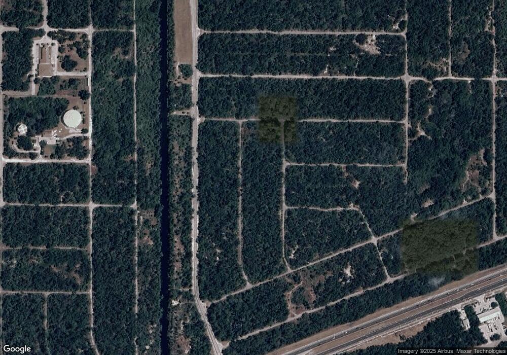
Map
Nearby Homes
- 1310 Braklet Terrace
- 1336 Forrestal St
- 1369 Glanmore Dr
- 1332 Patton St
- 1267 Patton St
- 1307 Quantico St
- 1315 Quantico St
- 1267 Quantico St
- 1360 Forrestal St
- 1300 Quantico St
- 13048 Devereaux Ave
- 1259 Underhill Cir
- 13006 Devereaux Ave
- 1315 Ramsey St
- 1322 Ramsey St
- 13057 Batlin Ave
- 1264 Forrestal St
- 1130 Forrestal St
- 1307 Sanford St
- 1232 Sanford St
- 1256 Forrestal St
- 1240 Stewart St
- 13005, 13006 & 13025 Devereaux Ave
- 1275 Stewart St
- 1283 Patton St
- 1292 Patton St
- 1284 Patton St
- 1284 - 1292 Patton St
- 1275 Patton St
- 1308 Patton St Unit 9
- 1276 Patton St
- 1355 Patton St
- 1308 Patton St
- 1240 Patton St
- 1251 Patton St
- 1278 Braklet Terrace
- 13024 Devereaux Ave
- 13032 Devereaux Ave
- 1286 Braklet Terrace Unit 1
- 1259 Quantico St