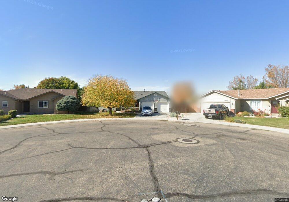
12566 W Norristown St Boise, ID 83709
Southwest Boise NeighborhoodEstimated Value: $387,738 - $406,000
3
Beds
2
Baths
1,221
Sq Ft
$325/Sq Ft
Est. Value
About This Home
This home is located at 12566 W Norristown St, Boise, ID 83709 and is currently estimated at $396,685, approximately $324 per square foot. 12566 W Norristown St is a home located in Ada County with nearby schools including Pepper Ridge Elementary, Lewis & Clark Middle School, and Centennial High School.
Ownership History
Date
Name
Owned For
Owner Type
Purchase Details
Closed on
Nov 12, 1999
Sold by
Griffin David D and Griffin Diane H
Bought by
Rundell Steven L and Kline Justin D
Current Estimated Value
Home Financials for this Owner
Home Financials are based on the most recent Mortgage that was taken out on this home.
Original Mortgage
$112,475
Outstanding Balance
$34,521
Interest Rate
7.82%
Mortgage Type
FHA
Estimated Equity
$362,164
Purchase Details
Closed on
Sep 17, 1999
Sold by
Bilmar Inc
Bought by
Griffin David D and Griffin Diane H
Home Financials for this Owner
Home Financials are based on the most recent Mortgage that was taken out on this home.
Original Mortgage
$112,475
Outstanding Balance
$34,521
Interest Rate
7.82%
Mortgage Type
FHA
Estimated Equity
$362,164
Create a Home Valuation Report for This Property
The Home Valuation Report is an in-depth analysis detailing your home's value as well as a comparison with similar homes in the area
Home Values in the Area
Average Home Value in this Area
Purchase History
| Date | Buyer | Sale Price | Title Company |
|---|---|---|---|
| Rundell Steven L | -- | Alliance Title & Escrow Corp | |
| Griffin David D | -- | American Land Title Co |
Source: Public Records
Mortgage History
| Date | Status | Borrower | Loan Amount |
|---|---|---|---|
| Open | Rundell Steven L | $112,475 |
Source: Public Records
Tax History Compared to Growth
Tax History
| Year | Tax Paid | Tax Assessment Tax Assessment Total Assessment is a certain percentage of the fair market value that is determined by local assessors to be the total taxable value of land and additions on the property. | Land | Improvement |
|---|---|---|---|---|
| 2025 | $2,295 | $351,800 | -- | -- |
| 2024 | $2,305 | $345,600 | -- | -- |
| 2023 | $2,305 | $329,700 | $0 | $0 |
| 2022 | $2,767 | $408,500 | $0 | $0 |
| 2021 | $2,896 | $329,100 | $0 | $0 |
| 2020 | $2,341 | $233,900 | $0 | $0 |
| 2019 | $2,943 | $229,200 | $0 | $0 |
| 2018 | $2,722 | $191,100 | $0 | $0 |
| 2017 | $2,595 | $170,400 | $0 | $0 |
| 2016 | $2,507 | $160,600 | $0 | $0 |
| 2015 | $1,164 | $154,500 | $0 | $0 |
| 2012 | -- | $107,400 | $0 | $0 |
Source: Public Records
Map
Nearby Homes
- 12410 W Lewisburg Dr
- 12152 W Lewisburg Ct
- 330 S Winthrop Place
- 11829 W Camas St
- 3970 E Overland Rd
- 1340 Jade Ave
- 4216 Woodmurra St
- 1285 S Jade Ave
- 4202 Woodmurra St
- 11683 W Aldershot St
- 4345 E Vacheron St
- 3820 E Overland Rd
- 4187 E Blueberry St
- 1132 S Amaya Ave
- 1400 S Jade Ave
- 4132 E Silverking Ln
- 681 S Kiser Ave
- 12158 W Silverking Ct
- 704 S Kiser Ave
- 11899 W Blueberry Ct
- 12548 W Norristown St
- 12598 W Norristown St
- 12572 W Norristown St
- 12620 W Norristown St
- 12584 W Norristown St
- 12544 W Norristown St
- 12522 W Norristown St
- 12510 W Norristown St
- 12573 W Norristown St
- 12632 W Norristown St
- 1010 S Winthrop Way
- 12472 W Norristown St
- 12588 W Lewisburg Dr
- 12644 W Norristown St
- 12583 W Lewisburg Dr
- 989 S Winthrop Way
- 12486 W Norristown St
- 12537 W
- 12460 W Norristown St
- 1032 S Winthrop Way