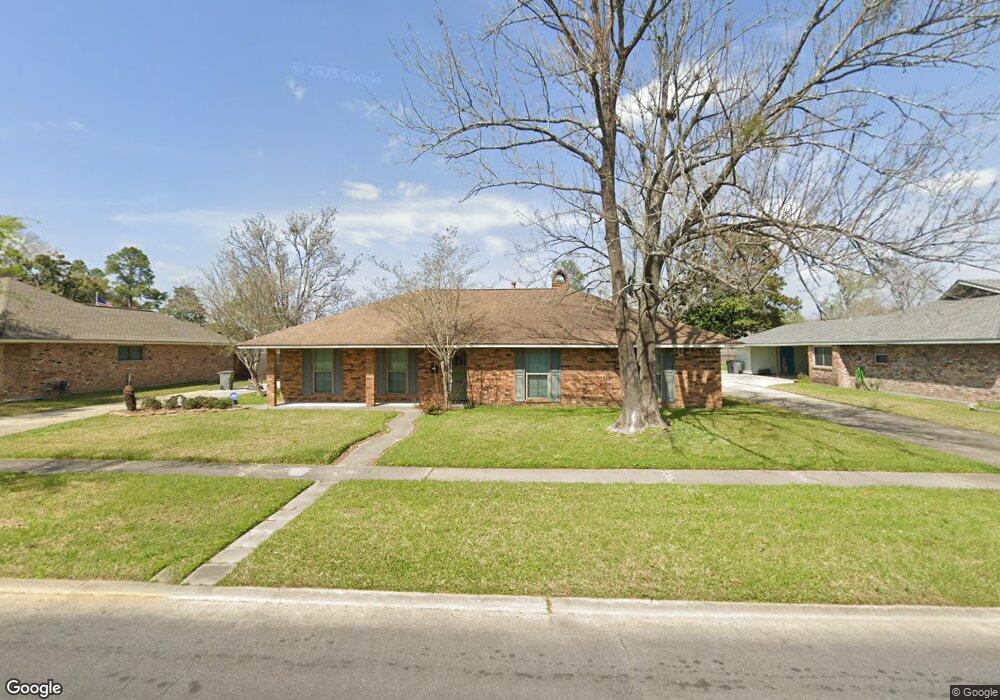
12571 Sherbrook Dr Baton Rouge, LA 70815
Broadmoor/Sherwood NeighborhoodEstimated Value: $214,727 - $248,000
4
Beds
2
Baths
2,164
Sq Ft
$109/Sq Ft
Est. Value
About This Home
This home is located at 12571 Sherbrook Dr, Baton Rouge, LA 70815 and is currently estimated at $235,682, approximately $108 per square foot. 12571 Sherbrook Dr is a home located in East Baton Rouge Parish with nearby schools including Twin Oaks Elementary School, Southeast Middle School, and Broadmoor Senior High School.
Ownership History
Date
Name
Owned For
Owner Type
Purchase Details
Closed on
May 19, 2000
Sold by
Stewart Carl R
Bought by
Stewart Brenda Isaminger
Current Estimated Value
Home Financials for this Owner
Home Financials are based on the most recent Mortgage that was taken out on this home.
Original Mortgage
$30,000
Outstanding Balance
$10,401
Interest Rate
8.19%
Estimated Equity
$225,281
Create a Home Valuation Report for This Property
The Home Valuation Report is an in-depth analysis detailing your home's value as well as a comparison with similar homes in the area
Home Values in the Area
Average Home Value in this Area
Purchase History
| Date | Buyer | Sale Price | Title Company |
|---|---|---|---|
| Stewart Brenda Isaminger | -- | -- |
Source: Public Records
Mortgage History
| Date | Status | Borrower | Loan Amount |
|---|---|---|---|
| Open | Stewart Brenda Isaminger | $30,000 |
Source: Public Records
Tax History Compared to Growth
Tax History
| Year | Tax Paid | Tax Assessment Tax Assessment Total Assessment is a certain percentage of the fair market value that is determined by local assessors to be the total taxable value of land and additions on the property. | Land | Improvement |
|---|---|---|---|---|
| 2024 | $165 | $15,400 | $2,000 | $13,400 |
| 2023 | $165 | $15,400 | $2,000 | $13,400 |
| 2022 | $1,914 | $15,400 | $2,000 | $13,400 |
| 2021 | $1,872 | $15,400 | $2,000 | $13,400 |
| 2020 | $1,894 | $15,400 | $2,000 | $13,400 |
| 2019 | $1,977 | $15,400 | $2,000 | $13,400 |
| 2018 | $1,954 | $15,400 | $2,000 | $13,400 |
| 2017 | $1,954 | $15,400 | $2,000 | $13,400 |
| 2016 | $554 | $10,710 | $2,000 | $8,710 |
| 2015 | $264 | $14,400 | $2,000 | $12,400 |
| 2014 | $264 | $14,400 | $2,000 | $12,400 |
| 2013 | -- | $14,400 | $2,000 | $12,400 |
Source: Public Records
Map
Nearby Homes
- 12651 Parnell Ave
- 444 S Locksley Dr
- 12511 E Robinhood Dr
- 12435 Parnell Dr
- 12384 Goodwood Blvd
- 13212 Avants Ave
- 305 Woodcliff Dr
- 13343 E Parnell Ave
- 13358 Wenham Ave
- 13243 Avants Ave
- 12275 E Sheraton Ave
- 379 Wilton Dr
- 12645 Warwick Ave
- 578 S Flannery Rd
- 846 Westbrook Dr
- TBD S Flannery Rd
- 13014 Jennifer Lynn Ave
- 11934 Mollylea Dr
- 12069 E Glenhaven Dr
- 765 Brinwood Ave
- 12629 Sherbrook Dr
- 12563 Sherbrook Dr
- 12582 Parkwood Dr
- 12614 Parkwood Dr
- 12572 Parkwood Dr
- 12647 Sherbrook Dr
- 12555 Sherbrook Dr
- 12555 Sherbrook Dr
- 12647 Sherbrook None
- 12570 Sherbrook Dr
- 12628 Sherbrook Dr
- 12634 Parkwood Dr
- 12562 Parkwood Dr
- 12554 Sherbrook Dr
- 12665 Sherbrook Dr
- 12646 Sherbrook Dr
- 12547 Sherbrook Dr
- 12654 Parkwood Dr
- 12546 Sherbrook Dr
- 12617 Fairhaven Dr