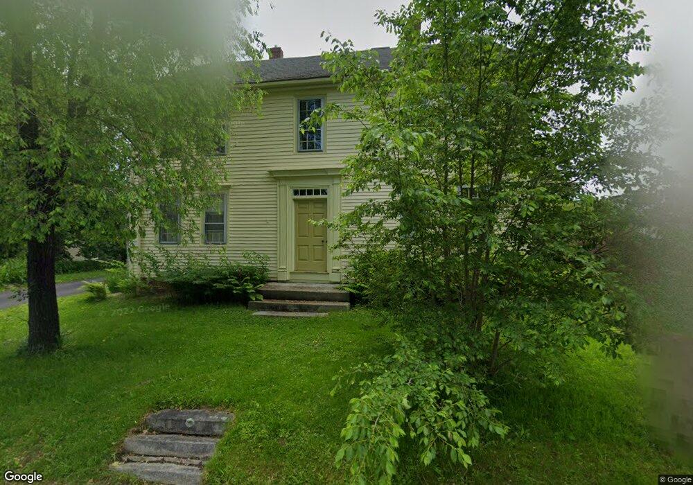
1258 Westbrook St Portland, ME 04102
Stroudwater NeighborhoodEstimated Value: $947,000 - $1,144,000
5
Beds
3
Baths
3,936
Sq Ft
$266/Sq Ft
Est. Value
About This Home
This home is located at 1258 Westbrook St, Portland, ME 04102 and is currently estimated at $1,045,025, approximately $265 per square foot. 1258 Westbrook St is a home located in Cumberland County with nearby schools including Amanda C Rowe School, King Middle School, and Levey Day School.
Ownership History
Date
Name
Owned For
Owner Type
Purchase Details
Closed on
Jun 17, 2011
Sold by
Marshall Elizabeth C and Marshall Philip J
Bought by
Taintor Anne M
Current Estimated Value
Home Financials for this Owner
Home Financials are based on the most recent Mortgage that was taken out on this home.
Original Mortgage
$359,000
Outstanding Balance
$248,761
Interest Rate
4.74%
Mortgage Type
Purchase Money Mortgage
Estimated Equity
$796,264
Create a Home Valuation Report for This Property
The Home Valuation Report is an in-depth analysis detailing your home's value as well as a comparison with similar homes in the area
Home Values in the Area
Average Home Value in this Area
Purchase History
| Date | Buyer | Sale Price | Title Company |
|---|---|---|---|
| Taintor Anne M | -- | -- |
Source: Public Records
Mortgage History
| Date | Status | Borrower | Loan Amount |
|---|---|---|---|
| Open | Taintor Anne M | $359,000 |
Source: Public Records
Tax History Compared to Growth
Tax History
| Year | Tax Paid | Tax Assessment Tax Assessment Total Assessment is a certain percentage of the fair market value that is determined by local assessors to be the total taxable value of land and additions on the property. | Land | Improvement |
|---|---|---|---|---|
| 2024 | $10,648 | $709,400 | $222,600 | $486,800 |
| 2023 | $10,222 | $709,400 | $222,600 | $486,800 |
| 2022 | $9,655 | $709,400 | $222,600 | $486,800 |
| 2021 | $9,215 | $709,400 | $222,600 | $486,800 |
| 2020 | $11,911 | $511,000 | $223,200 | $287,800 |
| 2019 | $11,911 | $511,000 | $223,200 | $287,800 |
| 2018 | $10,656 | $511,000 | $223,200 | $287,800 |
| 2017 | $11,063 | $511,000 | $223,200 | $287,800 |
| 2016 | $10,787 | $511,000 | $223,200 | $287,800 |
| 2015 | $10,542 | $511,000 | $223,200 | $287,800 |
| 2014 | $10,220 | $511,000 | $223,200 | $287,800 |
Source: Public Records
Map
Nearby Homes
- 1346 Westbrook St
- 89 Cobb Ave
- 1542 Congress St
- 222 Ludlow St
- 16 Black Sparrow Dr
- 1549 Westbrook St
- 7 Twin Knolls Ln
- 63A Capisic St
- 17 Sandy Terrace
- 162 Hobart St
- 155 Owls Nest Rd
- 149 Owls Nest Rd
- 139 Owls Nest Rd
- 127 Owls Nest Rd
- 24 Edwards St
- 0 Hillcrest Ave
- 75 Glenridge
- 99 Webb St
- 23 Glenridge
- 160 Craigie St
- 1246 Westbrook St
- 1266 Westbrook St
- 1242 Westbrook St
- 1235 Westbrook St
- 1247 Westbrook St
- 3 Waldo St
- 1282 Westbrook St
- 1747 Congress St
- 1288 Westbrook St
- 1227 Westbrook St
- 35 Garrison St
- 25 Garrison St
- 1221 Westbrook St
- 1296 Westbrook St
- 0 Westbrook St
- 49 Garrison St
- 45 Garrison St
- 1305 Westbrook St
- 1305 Westbrook
- 1789 Congress St