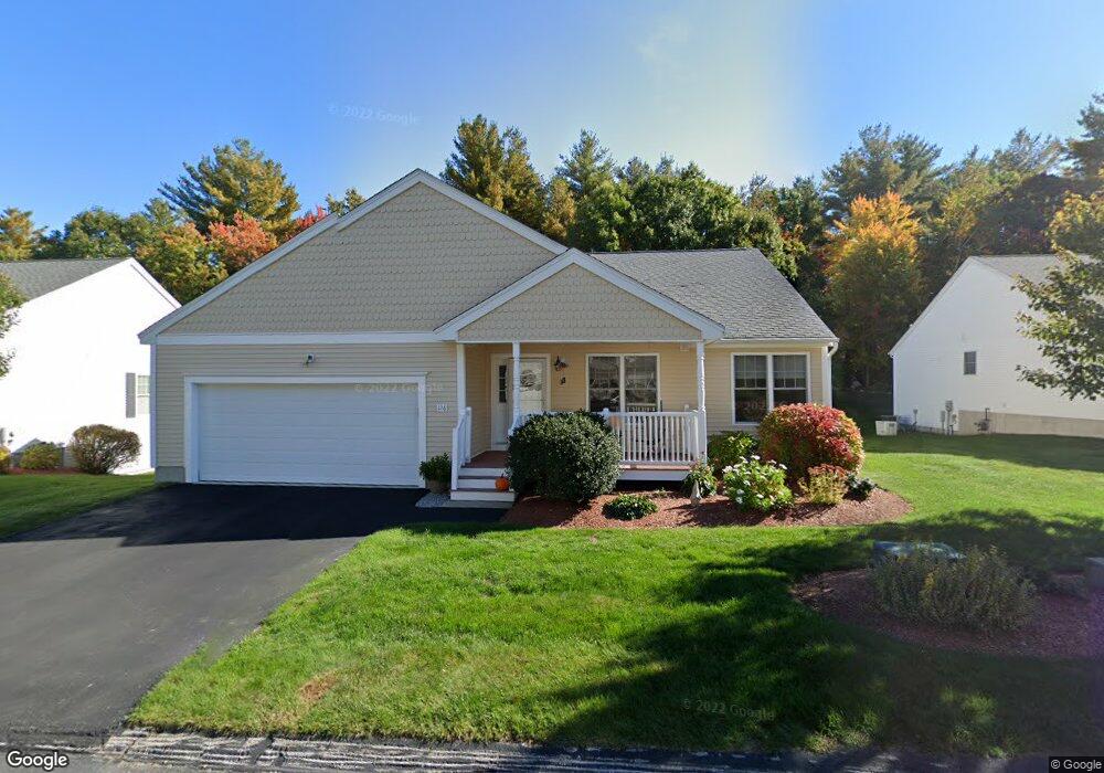
126 Apple Brook Way Unit 17 Manchester, NH 03109
Lower South Willow NeighborhoodEstimated Value: $414,210 - $558,000
2
Beds
2
Baths
1,612
Sq Ft
$311/Sq Ft
Est. Value
About This Home
This home is located at 126 Apple Brook Way Unit 17, Manchester, NH 03109 and is currently estimated at $501,553, approximately $311 per square foot. 126 Apple Brook Way Unit 17 is a home located in Hillsborough County with nearby schools including Henry J. McLaughlin Middle School and Manchester Memorial High School.
Ownership History
Date
Name
Owned For
Owner Type
Purchase Details
Closed on
Sep 14, 2007
Sold by
Southridge Rt and Deneault Barbara A
Bought by
Mary E Macleod T and Macleod Mary E
Current Estimated Value
Home Financials for this Owner
Home Financials are based on the most recent Mortgage that was taken out on this home.
Original Mortgage
$223,920
Outstanding Balance
$142,713
Interest Rate
6.7%
Estimated Equity
$358,840
Create a Home Valuation Report for This Property
The Home Valuation Report is an in-depth analysis detailing your home's value as well as a comparison with similar homes in the area
Home Values in the Area
Average Home Value in this Area
Purchase History
| Date | Buyer | Sale Price | Title Company |
|---|---|---|---|
| Mary E Macleod T | $279,900 | -- |
Source: Public Records
Mortgage History
| Date | Status | Borrower | Loan Amount |
|---|---|---|---|
| Open | Mary E Macleod T | $57,000 | |
| Closed | Mary E Macleod T | $61,500 | |
| Open | Mary E Macleod T | $223,920 |
Source: Public Records
Tax History Compared to Growth
Tax History
| Year | Tax Paid | Tax Assessment Tax Assessment Total Assessment is a certain percentage of the fair market value that is determined by local assessors to be the total taxable value of land and additions on the property. | Land | Improvement |
|---|---|---|---|---|
| 2024 | $6,514 | $332,700 | $0 | $332,700 |
| 2023 | $6,275 | $332,700 | $0 | $332,700 |
| 2022 | $6,068 | $332,700 | $0 | $332,700 |
| 2021 | $5,882 | $332,700 | $0 | $332,700 |
| 2020 | $6,010 | $243,700 | $0 | $243,700 |
| 2019 | $5,927 | $243,700 | $0 | $243,700 |
| 2018 | $5,771 | $243,700 | $0 | $243,700 |
| 2017 | $5,683 | $243,700 | $0 | $243,700 |
| 2016 | $5,639 | $243,700 | $0 | $243,700 |
| 2015 | $5,466 | $233,200 | $0 | $233,200 |
| 2014 | $6,164 | $262,300 | $0 | $262,300 |
| 2013 | $5,946 | $262,300 | $0 | $262,300 |
Source: Public Records
Map
Nearby Homes
- 30 Bryant Rd
- 12 Forest Hill Way Unit 57
- 90 Forest Hill Way Unit 52
- 22 Eastmeadow Way
- 193 Morning Glory Dr
- 759 Cohas Ave
- 195 Corning Rd
- 133 Corning Rd
- 1991 Bodwell Rd Unit 30
- 1035 S Mammoth Rd Unit 6
- 612 Megan Dr
- 628 Megan Dr
- 593 Cohas Ave
- 10100 S Willow St Unit 214
- 10100 S Willow St Unit 101
- 10100 S Willow St Unit 109
- 10100 S Willow St Unit 207
- 10100 S Willow St Unit 110
- 10100 S Willow St Unit 204
- 26 Old Orchard Way Unit 26
- 134 Apple Brook Way Unit 16
- 114 Apple Brook Way Unit 18
- 127 Apple Brook Way Unit 6
- 117 Apple Brook Way Unit 5
- 117 Apple Brook Unit 5
- 144 Apple Brook Way Unit 15
- 135 Apple Brook Way Unit 7
- 98 Apple Brook Way Unit 19
- 107 Apple Brook Way Unit 4
- 88 Apple Brook Way Unit 20
- 95 Apple Brook Way Unit 3
- 161 Apple Brook Way Unit 8
- 160 Apple Brook Way Unit 14
- 168 Apple Brook Way Unit 13
- 176 Apple Brook Way Unit 12
- 183 Apple Brook Way Unit 9
- 182 Apple Brook Way Unit 11
- 41 Walden Way Unit 27
- 41 Walden Way Unit 27
- 31 Walden Way Unit 26