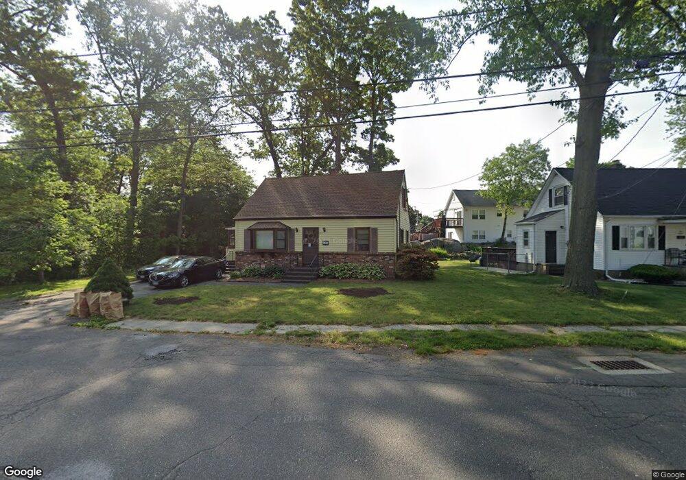
126 Glenbrook Rd Bridgeport, CT 06610
North Bridgeport NeighborhoodEstimated Value: $308,000 - $393,000
3
Beds
1
Bath
1,152
Sq Ft
$301/Sq Ft
Est. Value
About This Home
This home is located at 126 Glenbrook Rd, Bridgeport, CT 06610 and is currently estimated at $346,244, approximately $300 per square foot. 126 Glenbrook Rd is a home located in Fairfield County with nearby schools including Hooker School, Harding High School, and Christian Heritage School.
Ownership History
Date
Name
Owned For
Owner Type
Purchase Details
Closed on
Mar 22, 2010
Sold by
Lilley Margaret A
Bought by
Martiney Alyssa M
Current Estimated Value
Home Financials for this Owner
Home Financials are based on the most recent Mortgage that was taken out on this home.
Original Mortgage
$155,800
Interest Rate
5.05%
Create a Home Valuation Report for This Property
The Home Valuation Report is an in-depth analysis detailing your home's value as well as a comparison with similar homes in the area
Home Values in the Area
Average Home Value in this Area
Purchase History
| Date | Buyer | Sale Price | Title Company |
|---|---|---|---|
| Martiney Alyssa M | $164,000 | -- | |
| Martiney Alyssa M | $164,000 | -- |
Source: Public Records
Mortgage History
| Date | Status | Borrower | Loan Amount |
|---|---|---|---|
| Open | Martiney Alyssa M | $145,850 | |
| Closed | Martiney Alyssa M | $155,800 |
Source: Public Records
Tax History Compared to Growth
Tax History
| Year | Tax Paid | Tax Assessment Tax Assessment Total Assessment is a certain percentage of the fair market value that is determined by local assessors to be the total taxable value of land and additions on the property. | Land | Improvement |
|---|---|---|---|---|
| 2025 | $5,878 | $135,290 | $63,620 | $71,670 |
| 2024 | $5,878 | $135,290 | $63,620 | $71,670 |
| 2023 | $5,878 | $135,290 | $63,620 | $71,670 |
| 2022 | $5,878 | $135,290 | $63,620 | $71,670 |
| 2021 | $5,878 | $135,290 | $63,620 | $71,670 |
| 2020 | $5,856 | $108,460 | $52,200 | $56,260 |
| 2019 | $5,856 | $108,460 | $52,200 | $56,260 |
| 2018 | $5,897 | $108,460 | $52,200 | $56,260 |
| 2017 | $5,897 | $108,460 | $52,200 | $56,260 |
| 2016 | $5,897 | $108,460 | $52,200 | $56,260 |
| 2015 | $5,079 | $120,360 | $51,030 | $69,330 |
| 2014 | $5,079 | $120,360 | $51,030 | $69,330 |
Source: Public Records
Map
Nearby Homes
- 69 Glen Cir
- 374 Mapledale Place
- 123 Beverly Dr
- 53 Beverly Dr
- 275 Roger Williams Rd
- 50 Pilgrim Rd
- 11 Knollcrest Dr
- 165 Nutmeg Rd
- 115 Silver St
- 32 Marshall Ave
- 197 Dupont Place Unit 199
- 250 Dayton Rd
- 217 Hillcrest Rd
- 227 Sylvan St
- 3699 Broadbridge Ave Unit 107
- 206 Huntington Turnpike
- 49 Soundview Ave
- 16 Oakdale St
- 120 Huntington Turnpike Unit 202
- 120 Huntington Turnpike Unit 606
- 154 Glenbrook Rd
- 14 Glen Place
- 112 Glenbrook Rd
- 161 Glenbrook Rd
- 168 Glenbrook Rd
- 278 Mapledale Place
- 19 Glen Place
- 179 Glenbrook Rd
- 182 Glenbrook Rd
- 96 Glenbrook Rd
- 107 Glenbrook Rd
- 297 Mapledale Place
- 292 Mapledale Place
- 195 Glenbrook Rd
- 62 Glen Place
- 198 Glenbrook Rd
- 301 Mapledale Place
- 93 Glenbrook Rd
- 82 Glenbrook Rd
- 315 Mapledale Place