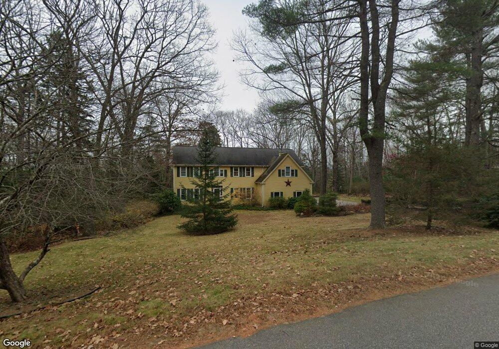
126 Kelsey Ridge Rd Freeport, ME 04032
Estimated Value: $1,125,000 - $1,223,000
4
Beds
3
Baths
2,977
Sq Ft
$394/Sq Ft
Est. Value
About This Home
This home is located at 126 Kelsey Ridge Rd, Freeport, ME 04032 and is currently estimated at $1,171,525, approximately $393 per square foot. 126 Kelsey Ridge Rd is a home located in Cumberland County with nearby schools including Morse Street School, Mast Landing School, and Freeport Middle School.
Ownership History
Date
Name
Owned For
Owner Type
Purchase Details
Closed on
Jul 7, 2008
Sold by
Reeder Thomas A and Reeder Shelly A
Bought by
Disabatino Albert A and Disabatino Patricia M
Current Estimated Value
Home Financials for this Owner
Home Financials are based on the most recent Mortgage that was taken out on this home.
Original Mortgage
$415,000
Outstanding Balance
$266,913
Interest Rate
6.01%
Mortgage Type
Unknown
Estimated Equity
$904,612
Create a Home Valuation Report for This Property
The Home Valuation Report is an in-depth analysis detailing your home's value as well as a comparison with similar homes in the area
Home Values in the Area
Average Home Value in this Area
Purchase History
| Date | Buyer | Sale Price | Title Company |
|---|---|---|---|
| Disabatino Albert A | -- | -- |
Source: Public Records
Mortgage History
| Date | Status | Borrower | Loan Amount |
|---|---|---|---|
| Open | Disabatino Albert A | $415,000 |
Source: Public Records
Tax History Compared to Growth
Tax History
| Year | Tax Paid | Tax Assessment Tax Assessment Total Assessment is a certain percentage of the fair market value that is determined by local assessors to be the total taxable value of land and additions on the property. | Land | Improvement |
|---|---|---|---|---|
| 2024 | $11,068 | $829,100 | $256,000 | $573,100 |
| 2023 | $10,042 | $730,300 | $232,700 | $497,600 |
| 2022 | $9,797 | $717,700 | $220,100 | $497,600 |
| 2021 | $9,581 | $717,700 | $220,100 | $497,600 |
| 2020 | $9,171 | $655,100 | $193,300 | $461,800 |
| 2019 | $8,820 | $616,800 | $182,300 | $434,500 |
| 2018 | $8,729 | $580,000 | $177,700 | $402,300 |
| 2017 | $8,336 | $557,600 | $173,600 | $384,000 |
| 2016 | $8,115 | $513,600 | $157,300 | $356,300 |
| 2015 | $7,390 | $439,900 | $131,100 | $308,800 |
| 2014 | $6,950 | $439,900 | $131,100 | $308,800 |
| 2013 | $6,693 | $422,300 | $127,400 | $294,900 |
Source: Public Records
Map
Nearby Homes
- 130 Kelsey Ridge Rd
- 127 Kelsey Ridge Rd
- 104 Kelsey Ridge Rd
- 129 Kelsey Ridge Rd
- 91 Kelsey Ridge Rd
- 140 Kelsey Ridge Rd
- 92 Kelsey Ridge Rd
- 141 Kelsey Ridge Rd
- 112 Kelsey Ridge Rd
- 144 Kelsey Ridge Rd
- 63 Windsor Post Rd
- 84 Kelsey Ridge Rd
- 53 Windsor Post Rd
- 37 Windsor Post Rd
- 61 Kelsey Ridge Rd
- 34 Windsor Post Rd
- 34 Windsor Post Rd
- 54 Kelsey Ridge Rd
- 20 Windsor Post Rd
- 25 Windsor Post Rd