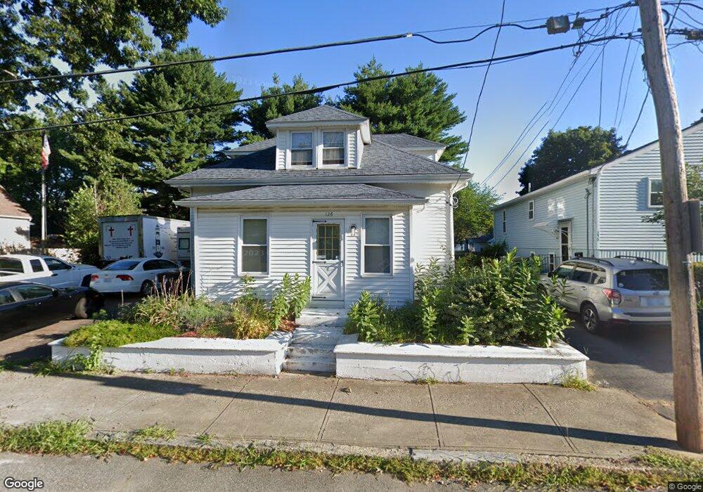
126 Monty Ave Woonsocket, RI 02895
Bernon District NeighborhoodEstimated Value: $373,000 - $424,000
4
Beds
2
Baths
1,512
Sq Ft
$262/Sq Ft
Est. Value
About This Home
This home is located at 126 Monty Ave, Woonsocket, RI 02895 and is currently estimated at $396,640, approximately $262 per square foot. 126 Monty Ave is a home located in Providence County with nearby schools including Woonsocket High School, Founders Academy, and Beacon Charter School.
Ownership History
Date
Name
Owned For
Owner Type
Purchase Details
Closed on
Dec 31, 2015
Sold by
Pugsley William J and Woonsocket Town Of
Bought by
Pugsley William J and Pugsley Brenda A
Current Estimated Value
Purchase Details
Closed on
Jun 29, 2011
Sold by
Pugsley William J and Woonsocket City Of
Bought by
Rhode Island Hsng & Mtg
Purchase Details
Closed on
Apr 10, 2000
Sold by
Wallace Barren B and Wallace Jennie T
Bought by
Pugsley William J and Pugsley Brenda A
Create a Home Valuation Report for This Property
The Home Valuation Report is an in-depth analysis detailing your home's value as well as a comparison with similar homes in the area
Home Values in the Area
Average Home Value in this Area
Purchase History
| Date | Buyer | Sale Price | Title Company |
|---|---|---|---|
| Pugsley William J | -- | -- | |
| Rhode Island Hsng & Mtg | $2,564 | -- | |
| Pugsley William J | $85,000 | -- | |
| Pugsley William J | -- | -- | |
| Rhode Island Hsng & Mtg | $2,564 | -- | |
| Pugsley William J | $85,000 | -- |
Source: Public Records
Mortgage History
| Date | Status | Borrower | Loan Amount |
|---|---|---|---|
| Previous Owner | Pugsley William J | $103,000 | |
| Previous Owner | Pugsley William J | $2,556 |
Source: Public Records
Tax History Compared to Growth
Tax History
| Year | Tax Paid | Tax Assessment Tax Assessment Total Assessment is a certain percentage of the fair market value that is determined by local assessors to be the total taxable value of land and additions on the property. | Land | Improvement |
|---|---|---|---|---|
| 2025 | $4,139 | $368,600 | $107,600 | $261,000 |
| 2024 | $3,779 | $259,900 | $95,500 | $164,400 |
| 2023 | $3,633 | $259,900 | $95,500 | $164,400 |
| 2022 | $3,633 | $259,900 | $95,500 | $164,400 |
| 2021 | $3,596 | $151,400 | $60,000 | $91,400 |
| 2020 | $3,634 | $151,400 | $60,000 | $91,400 |
| 2018 | $3,646 | $151,400 | $60,000 | $91,400 |
| 2017 | $4,295 | $142,700 | $46,900 | $95,800 |
| 2016 | $4,544 | $142,700 | $46,900 | $95,800 |
| 2015 | $5,220 | $142,700 | $46,900 | $95,800 |
| 2014 | $4,956 | $137,900 | $51,600 | $86,300 |
Source: Public Records
Map
Nearby Homes
- 97 Warwick St
- 203 Hemond Ave
- 109 Hemond Ave
- 58 Cranston St
- 61 Warwick St
- 0 Caron Ave Unit 1379503
- 0 Caron Ave Unit 73342710
- 0 Laflamme Ave
- 25 Ormond St
- 1014 Park Ave
- 59 Cooper Ave
- 0 Chester St
- 28 White Pkwy
- 124 Darwin St
- 0 Irving Lot 191 Ave Unit 1383135
- 0 Irving Lot 192 Ave Unit 1383138
- 36 Old Louisquisset Pike Unit 104
- 36 Old Louisquisset Pike Unit 204
- 36 Old Louisquisset Pike Unit 206
- 36 Old Louisquisset Pike Unit 109