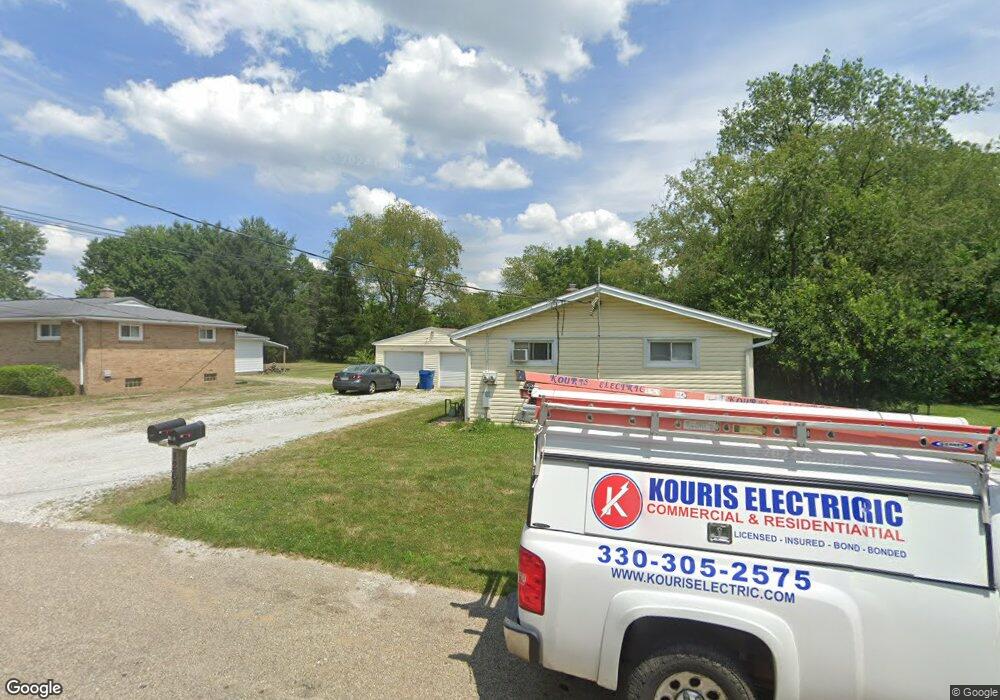
1260 Zwick Ave Louisville, OH 44641
Estimated Value: $190,221 - $217,000
4
Beds
2
Baths
1,520
Sq Ft
$135/Sq Ft
Est. Value
About This Home
This home is located at 1260 Zwick Ave, Louisville, OH 44641 and is currently estimated at $205,555, approximately $135 per square foot. 1260 Zwick Ave is a home located in Stark County with nearby schools including Louisville High School and St. Thomas Aquinas High School & Middle School.
Ownership History
Date
Name
Owned For
Owner Type
Purchase Details
Closed on
Apr 29, 1999
Sold by
Stiner Wayne P and Stiner Wanda L
Bought by
Kerzan Eric J and Kerzan Mary A
Current Estimated Value
Home Financials for this Owner
Home Financials are based on the most recent Mortgage that was taken out on this home.
Original Mortgage
$64,000
Outstanding Balance
$16,550
Interest Rate
7.05%
Mortgage Type
Purchase Money Mortgage
Estimated Equity
$189,005
Create a Home Valuation Report for This Property
The Home Valuation Report is an in-depth analysis detailing your home's value as well as a comparison with similar homes in the area
Home Values in the Area
Average Home Value in this Area
Purchase History
| Date | Buyer | Sale Price | Title Company |
|---|---|---|---|
| Kerzan Eric J | $80,000 | -- |
Source: Public Records
Mortgage History
| Date | Status | Borrower | Loan Amount |
|---|---|---|---|
| Open | Kerzan Eric J | $64,000 |
Source: Public Records
Tax History Compared to Growth
Tax History
| Year | Tax Paid | Tax Assessment Tax Assessment Total Assessment is a certain percentage of the fair market value that is determined by local assessors to be the total taxable value of land and additions on the property. | Land | Improvement |
|---|---|---|---|---|
| 2025 | -- | $53,760 | $19,390 | $34,370 |
| 2024 | -- | $53,760 | $19,390 | $34,370 |
| 2023 | $2,024 | $45,990 | $16,030 | $29,960 |
| 2022 | $2,030 | $45,990 | $16,030 | $29,960 |
| 2021 | $2,036 | $45,990 | $16,030 | $29,960 |
| 2020 | $1,662 | $40,640 | $14,460 | $26,180 |
| 2019 | $1,665 | $40,400 | $14,460 | $25,940 |
| 2018 | $1,655 | $40,400 | $14,460 | $25,940 |
| 2017 | $1,529 | $36,030 | $12,080 | $23,950 |
| 2016 | $1,561 | $36,030 | $12,080 | $23,950 |
| 2015 | $1,565 | $36,030 | $12,080 | $23,950 |
| 2014 | $1,492 | $31,920 | $10,710 | $21,210 |
| 2013 | $749 | $31,920 | $10,710 | $21,210 |
Source: Public Records
Map
Nearby Homes
- 428 Honeycrisp Dr NE
- 3047 Mcintosh Dr NE
- 432 Honeycrisp Dr NE
- 2962 Mcintosh Dr NE
- 2963 Mcintosh Dr NE
- 430 Honeycrisp Dr NE
- 2957 Mcintosh Dr NE
- 614 Reno Dr
- 524 Glenbar St
- 300 Kennedy St
- 316 E Reno Dr
- 5474 Ravenna Ave
- 0 Glenbar St
- 0 Brookridge Ave
- 910 Crosswyck Cir
- 3580 Brookridge Ave Lot 15
- 1170 Winding Ridge Ave
- 325 Lincoln Ave
- 1175 Sturbridge Dr
- 1149 Sturbridge Dr