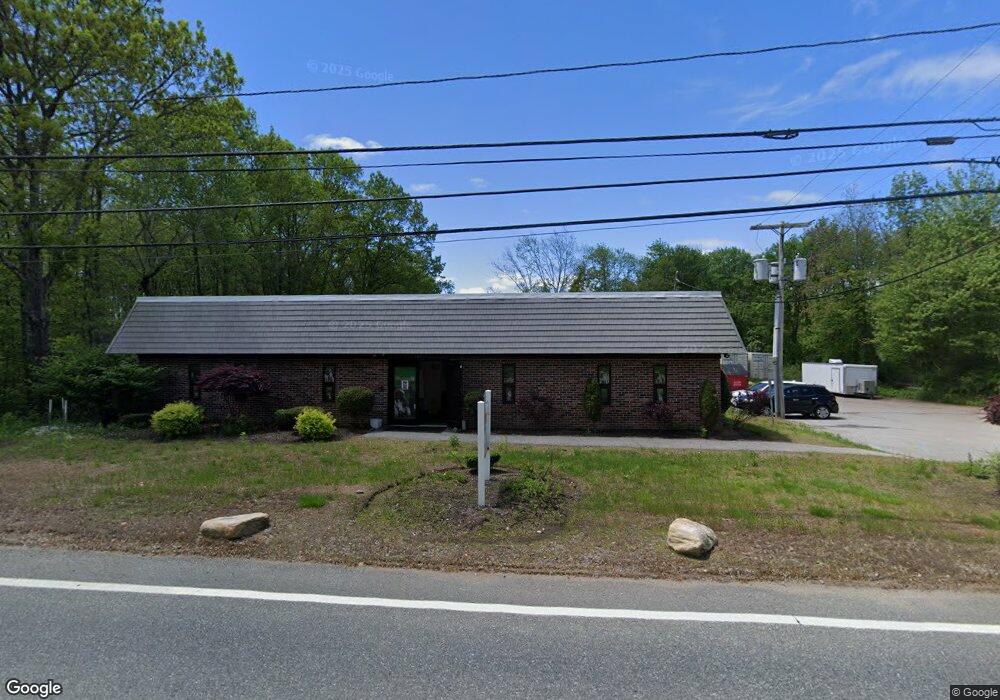
1265 Chopmist Hill Rd Scituate, RI 02857
Estimated Value: $533,695
--
Bed
3
Baths
7,800
Sq Ft
$68/Sq Ft
Est. Value
About This Home
This home is located at 1265 Chopmist Hill Rd, Scituate, RI 02857 and is currently estimated at $533,695, approximately $68 per square foot. 1265 Chopmist Hill Rd is a home located in Providence County with nearby schools including Clayville School, Scituate Middle School, and Scituate High School.
Ownership History
Date
Name
Owned For
Owner Type
Purchase Details
Closed on
Nov 6, 2013
Sold by
Faria Properties Llc
Bought by
575 Broad Street Inc
Current Estimated Value
Purchase Details
Closed on
Feb 8, 2005
Sold by
Phoenix Industries
Bought by
Faria Properties
Home Financials for this Owner
Home Financials are based on the most recent Mortgage that was taken out on this home.
Original Mortgage
$250,000
Interest Rate
5.77%
Mortgage Type
Commercial
Create a Home Valuation Report for This Property
The Home Valuation Report is an in-depth analysis detailing your home's value as well as a comparison with similar homes in the area
Home Values in the Area
Average Home Value in this Area
Purchase History
| Date | Buyer | Sale Price | Title Company |
|---|---|---|---|
| 575 Broad Street Inc | $88,000 | -- | |
| Faria Properties | $300,000 | -- |
Source: Public Records
Mortgage History
| Date | Status | Borrower | Loan Amount |
|---|---|---|---|
| Previous Owner | Faria Properties | $480,000 | |
| Previous Owner | Faria Properties | $250,000 |
Source: Public Records
Tax History Compared to Growth
Tax History
| Year | Tax Paid | Tax Assessment Tax Assessment Total Assessment is a certain percentage of the fair market value that is determined by local assessors to be the total taxable value of land and additions on the property. | Land | Improvement |
|---|---|---|---|---|
| 2025 | $11,460 | $451,200 | $131,300 | $319,900 |
| 2024 | $11,460 | $451,200 | $131,300 | $319,900 |
| 2023 | $11,086 | $451,200 | $131,300 | $319,900 |
| 2022 | $10,833 | $451,200 | $131,300 | $319,900 |
| 2021 | $10,062 | $433,900 | $141,600 | $292,300 |
| 2020 | $9,837 | $433,900 | $141,600 | $292,300 |
| 2019 | $9,590 | $432,000 | $141,600 | $290,400 |
| 2018 | $9,008 | $387,100 | $130,900 | $256,200 |
| 2017 | $8,745 | $387,100 | $130,900 | $256,200 |
| 2016 | $8,381 | $387,100 | $130,900 | $256,200 |
| 2015 | $8,176 | $369,300 | $124,600 | $244,700 |
| 2014 | $7,677 | $349,900 | $124,600 | $225,300 |
Source: Public Records
Map
Nearby Homes
- 1101 Danielson Pike
- 785 Danielson Pike
- 55 Gentry Way
- 0 Danielson Pike Unit 1347736
- 737 Danielson Pike
- 399 Bungy Rd
- 955 Chopmist Hill Rd
- 1224 Hartford Pike
- 1240 Hartford Pike
- 278 Central Pike
- 0 Central Pike
- 2 Winsor
- 15 Apple Hill Dr
- 255 Rockland Rd
- 54 Central Pike
- 0 Dexter Rd
- 261 Quaker Ln
- 67 Dexter Rd
- 475 Danielson Pike
- 0 Quaker Ln
- 1264 Chopmist Hill Rd
- 1257 Chopmist Hill Rd
- 1280 Chopmist Hill Rd
- 2 Road b
- 1285 Chopmist Hill Rd
- 1249 Chopmist Hill Rd
- 1290 Chopmist Hill Rd
- 1245 Chopmist Hill Rd
- 1289 Chopmist Hill Rd
- 1252 Chopmist Hill Rd
- 1295 Chopmist Hill Rd
- 12 Road c
- 12 Road b
- 1293 Chopmist Hill Rd
- 1237 Chopmist Hill Rd
- 1304 Chopmist Hill Rd
- 1268 Chopmist Hill Rd
- 1270 Chopmist Hill Rd
- 85 Chopmist Hill Rd
- 18 Road b