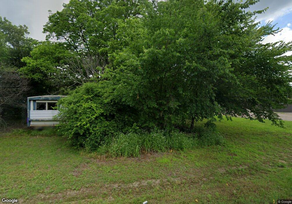
12651 Hwy 901 Sadler, TX 76264
Estimated Value: $723,000
2
Beds
2
Baths
1,471
Sq Ft
$492/Sq Ft
Est. Value
About This Home
This home is located at 12651 Hwy 901, Sadler, TX 76264 and is currently estimated at $723,000, approximately $491 per square foot. 12651 Hwy 901 is a home located in Grayson County with nearby schools including S&S Consolidated Elementary School, S&S Consolidated Middle School, and S. & S. Cons H.S..
Ownership History
Date
Name
Owned For
Owner Type
Purchase Details
Closed on
Aug 9, 2024
Sold by
Hudson Breck W and Hudson Alaina
Bought by
Thurlow Kevin
Current Estimated Value
Home Financials for this Owner
Home Financials are based on the most recent Mortgage that was taken out on this home.
Original Mortgage
$596,750
Outstanding Balance
$590,100
Interest Rate
6.95%
Mortgage Type
New Conventional
Estimated Equity
$132,900
Purchase Details
Closed on
Sep 6, 2012
Sold by
Reigh Martha L and Reigh Troy A
Bought by
Hudson Breck W and Hudson Alaina
Create a Home Valuation Report for This Property
The Home Valuation Report is an in-depth analysis detailing your home's value as well as a comparison with similar homes in the area
Home Values in the Area
Average Home Value in this Area
Purchase History
| Date | Buyer | Sale Price | Title Company |
|---|---|---|---|
| Thurlow Kevin | -- | None Listed On Document | |
| Hudson Breck W | -- | None Available |
Source: Public Records
Mortgage History
| Date | Status | Borrower | Loan Amount |
|---|---|---|---|
| Open | Thurlow Kevin | $596,750 |
Source: Public Records
Tax History Compared to Growth
Tax History
| Year | Tax Paid | Tax Assessment Tax Assessment Total Assessment is a certain percentage of the fair market value that is determined by local assessors to be the total taxable value of land and additions on the property. | Land | Improvement |
|---|---|---|---|---|
| 2025 | $5,046 | $447,152 | $31,661 | $415,491 |
| 2024 | $6,303 | $423,221 | $0 | $0 |
| 2023 | $4,863 | $413,953 | $0 | $0 |
| 2022 | $6,007 | $358,073 | $0 | $0 |
| 2021 | $6,024 | $317,528 | $11,294 | $306,234 |
| 2020 | $5,854 | $299,218 | $11,404 | $287,814 |
| 2019 | $6,430 | $303,157 | $10,434 | $292,723 |
| 2018 | $5,694 | $293,264 | $9,942 | $283,322 |
| 2017 | $5,172 | $264,575 | $9,462 | $255,113 |
| 2016 | $4,945 | $262,052 | $8,468 | $253,584 |
| 2015 | $0 | $240,533 | $9,929 | $230,604 |
| 2014 | -- | $236,900 | $18,061 | $218,839 |
Source: Public Records
Map
Nearby Homes
- TBD Farm To Market Road 901
- 693 Gilbreath Rd
- Tract 5 Gilbreath Rd
- Tract 4 Gilbreath Rd
- Tract 2 Gilbreath Rd
- Tract 8 Gilbreath Rd
- Tract 6 Gilbreath Rd
- 1101 Brooks Ln
- 11 Acres Tract 4 Unit Gilbreath Road Sad
- Tract 2 Gilbreath Rd
- 664 Earl Rd
- 192 Brooks Ln
- 2242 Dixie Rd
- 527 Copperas Rd
- TBD Brooks Ln
- 1130 Brooks Ln
- 1761 Brooks Ln
- TBD Arkansas Rd
- 3138 Scarbrough Rd
- TBD 5E Arkansas Rd
- 12651 Fm 901
- 12651 Fm 901
- 12593 Fm 901
- 12787 Fm 901
- 372 Copperhead Ln
- 12644 Fm 901
- 12825 Fm 901
- 164 Gilbreath Rd
- 1044 Crawford Rd
- 12909 Farm To Market Road 901
- 12909 Fm 901
- 12570 Fm 901
- 1090 Crawford Rd
- 905 Crawford Rd
- 51 Copperhead Ln
- 222 Copperhead Ln
- 14 Gilbreath Rd
- 1283 Crawford Rd
- 2017 Crawford Rd
- 70 Gilbreath Rd