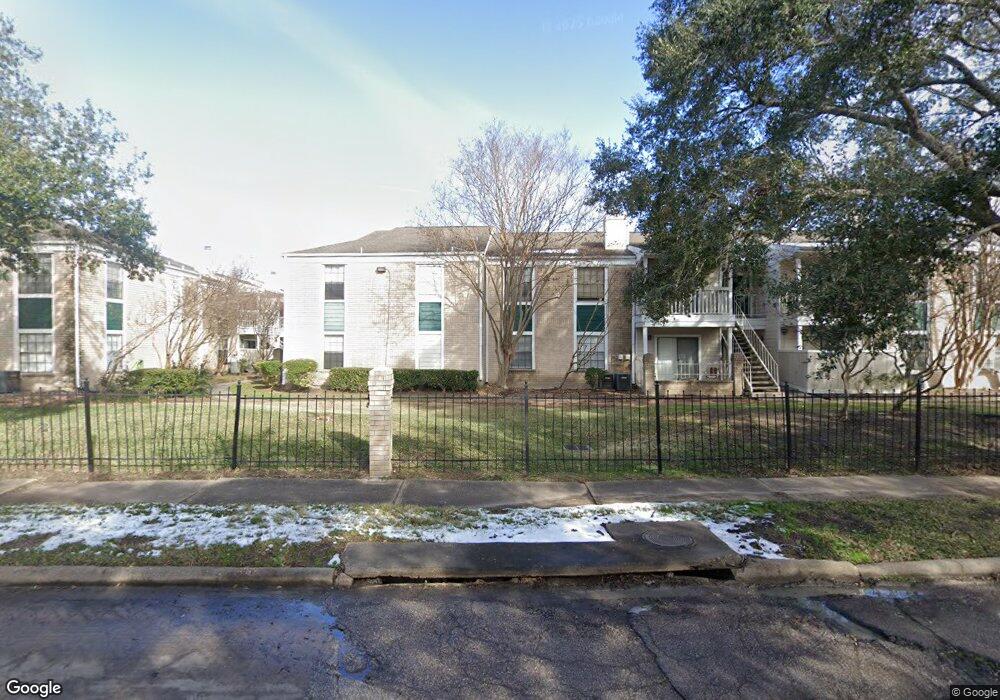
12660 Ashford Point Dr Unit 315 Houston, TX 77082
Briar Village NeighborhoodEstimated Value: $64,657 - $71,000
2
Beds
1
Bath
624
Sq Ft
$109/Sq Ft
Est. Value
About This Home
This home is located at 12660 Ashford Point Dr Unit 315, Houston, TX 77082 and is currently estimated at $67,914, approximately $108 per square foot. 12660 Ashford Point Dr Unit 315 is a home located in Harris County with nearby schools including Heflin Elementary School, O'Donnell Middle School, and Budewig Intermediate School.
Ownership History
Date
Name
Owned For
Owner Type
Purchase Details
Closed on
Aug 17, 2007
Sold by
Joseph B & Sarah J Rothchild Family Part
Bought by
Siy Bella M
Current Estimated Value
Home Financials for this Owner
Home Financials are based on the most recent Mortgage that was taken out on this home.
Original Mortgage
$24,000
Interest Rate
6.69%
Mortgage Type
Purchase Money Mortgage
Create a Home Valuation Report for This Property
The Home Valuation Report is an in-depth analysis detailing your home's value as well as a comparison with similar homes in the area
Home Values in the Area
Average Home Value in this Area
Purchase History
| Date | Buyer | Sale Price | Title Company |
|---|---|---|---|
| Siy Bella M | -- | Southern American Title West |
Source: Public Records
Mortgage History
| Date | Status | Borrower | Loan Amount |
|---|---|---|---|
| Closed | Siy Bella M | $24,000 |
Source: Public Records
Tax History Compared to Growth
Tax History
| Year | Tax Paid | Tax Assessment Tax Assessment Total Assessment is a certain percentage of the fair market value that is determined by local assessors to be the total taxable value of land and additions on the property. | Land | Improvement |
|---|---|---|---|---|
| 2025 | -- | $64,177 | $12,194 | $51,983 |
| 2024 | -- | $70,020 | $13,304 | $56,716 |
| 2023 | $1,334 | $74,702 | $14,193 | $60,509 |
| 2022 | $1,322 | $56,839 | $10,799 | $46,040 |
| 2021 | $1,303 | $53,392 | $10,144 | $43,248 |
| 2020 | $1,304 | $51,556 | $9,796 | $41,760 |
| 2019 | $1,302 | $51,556 | $9,796 | $41,760 |
| 2018 | $261 | $49,079 | $9,325 | $39,754 |
| 2017 | $1,065 | $49,079 | $9,325 | $39,754 |
| 2016 | $968 | $42,703 | $8,114 | $34,589 |
| 2015 | $534 | $34,677 | $6,589 | $28,088 |
| 2014 | $534 | $34,677 | $6,589 | $28,088 |
Source: Public Records
Map
Nearby Homes
- 12660 Ashford Point Dr Unit 413
- 12660 Ashford Point Dr Unit 811
- 12660 Ashford Point Dr Unit 402
- 12660 Ashford Point Dr Unit 416
- 12660 Ashford Point Dr Unit 211
- 12660 Ashford Point Dr Unit 608
- 12716 Hill Branch Dr
- 12719 Sunset Dune Dr
- 12802 Sunset Dune Dr
- 12821 Hill Branch Dr
- 3503 Ashfield Dr
- 3703 Ashford Villa Ln
- 12716 Westpark Dr
- 3727 Ashford Villa Ln
- 3517 Denio Dr
- 12710 Skyknoll Ln
- 12814 Village Gate Dr
- 3415 Lapstone Dr
- 3318 S Greenpark Dr
- 3306 Westwick Dr
- 12660 Ashford Point Dr Unit 612
- 12660 Ashford Point Dr Unit 710
- 12660 Ashford Point Dr Unit 303
- 12660 Ashford Point Dr Unit 406
- 12660 Ashford Point Dr Unit 105
- 12660 Ashford Point Dr Unit 304
- 12660 Ashford Point Dr Unit 206
- 12660 Ashford Point Dr Unit 720
- 12660 Ashford Point Dr Unit 809
- 12660 Ashford Point Dr Unit 610
- 12660 Ashford Point Dr Unit 402
- 12660 Ashford Point Dr Unit 608
- 12660 Ashford Point Dr Unit 607
- 12660 Ashford Point Dr Unit 716
- 12660 Ashford Point Dr Unit 801
- 12660 Ashford Point Dr Unit 802
- 12660 Ashford Point Dr Unit 313
- 12660 Ashford Point Dr Unit 416
- 12660 Ashford Point Dr Unit 605
- 12660 Ashford Point Dr Unit 706