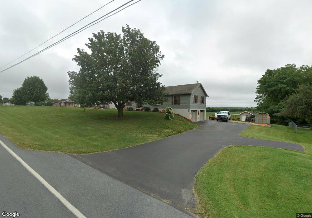
12670 Ridge Rd Greencastle, PA 17225
Estimated Value: $102,236 - $291,000
--
Bed
--
Bath
1,568
Sq Ft
$139/Sq Ft
Est. Value
About This Home
This home is located at 12670 Ridge Rd, Greencastle, PA 17225 and is currently estimated at $217,809, approximately $138 per square foot. 12670 Ridge Rd is a home located in Franklin County with nearby schools including Greencastle-Antrim Primary School, Greencastle-Antrim Elementary School, and Greencastle-Antrim Middle School.
Ownership History
Date
Name
Owned For
Owner Type
Purchase Details
Closed on
Jul 19, 2006
Sold by
Shatzer Cynthia A and Kell Cynthia A
Bought by
Kell John R and Kell Cynthia A
Current Estimated Value
Home Financials for this Owner
Home Financials are based on the most recent Mortgage that was taken out on this home.
Original Mortgage
$121,500
Interest Rate
6.67%
Mortgage Type
New Conventional
Create a Home Valuation Report for This Property
The Home Valuation Report is an in-depth analysis detailing your home's value as well as a comparison with similar homes in the area
Home Values in the Area
Average Home Value in this Area
Purchase History
| Date | Buyer | Sale Price | Title Company |
|---|---|---|---|
| Kell John R | -- | None Available |
Source: Public Records
Mortgage History
| Date | Status | Borrower | Loan Amount |
|---|---|---|---|
| Closed | Kell John R | $121,500 |
Source: Public Records
Tax History Compared to Growth
Tax History
| Year | Tax Paid | Tax Assessment Tax Assessment Total Assessment is a certain percentage of the fair market value that is determined by local assessors to be the total taxable value of land and additions on the property. | Land | Improvement |
|---|---|---|---|---|
| 2025 | $3,050 | $18,230 | $1,250 | $16,980 |
| 2024 | $2,767 | $18,230 | $1,250 | $16,980 |
| 2023 | $2,734 | $18,230 | $1,250 | $16,980 |
| 2022 | $2,734 | $18,230 | $1,250 | $16,980 |
| 2021 | $2,681 | $18,230 | $1,250 | $16,980 |
| 2020 | $2,611 | $18,230 | $1,250 | $16,980 |
| 2019 | $2,552 | $18,230 | $1,250 | $16,980 |
| 2018 | $2,525 | $18,230 | $1,250 | $16,980 |
| 2017 | $2,461 | $18,230 | $1,250 | $16,980 |
| 2016 | $522 | $18,230 | $1,250 | $16,980 |
| 2015 | $487 | $18,230 | $1,250 | $16,980 |
| 2014 | $487 | $18,230 | $1,250 | $16,980 |
Source: Public Records
Map
Nearby Homes
- 1631 Buchanan Trail E
- 823 Buchanan Trail E
- 431 Leitersburg St
- 0 Molly Pitcher Hwy Unit PAFL178468
- 0 Molly Pitcher Hwy Unit PAFL2030380
- 0 Molly Pitcher Hwy Unit PAFL178444
- 674 Lohman Ave
- 775 Lohman Ave
- 1033 Dianne Dr
- 1031 Dianne Dr
- 602 Brookview Dr
- 34.77 Acres Red Oak Estate S
- 271 E Baltimore St
- 231 N Allison St Unit 1
- 480 S Carlisle St
- 560 Meadowview Cir
- 45 W Dahlgren St
- 226 Milnor Rd
- 101 N Carlisle St
- 148 N Carlisle St
- 12686 Ridge Rd
- 12659 Ridge Rd
- 12663 Ridge Rd
- 12675 Ridge Rd
- 12696 Ridge Rd
- 12548 Ridge Rd
- 12702 Ridge Rd
- 12521 Ridge Rd
- 12614 Ridge Rd
- 12756 Ridge Rd
- 12502 Ridge Rd
- 12798 Ridge Rd
- 12474 Ridge Rd
- 12827 Ridge Rd
- 12834 Ridge Rd
- 12815 Ridge Rd
- 1979 Hayfield Ct
- 1931 Hayfield Ct
- 1889 Hayfield Ct
- 1855 Hayfield Ct