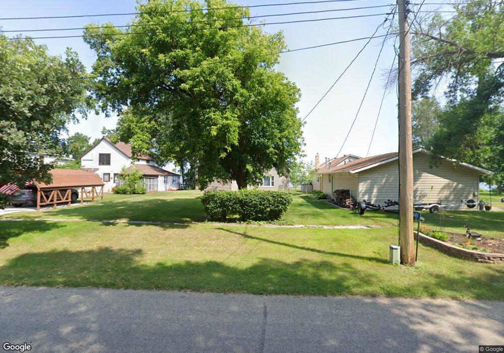
12681 W Lake Sallie Dr Detroit Lakes, MN 56501
Estimated Value: $520,628 - $803,000
1
Bed
2
Baths
1,248
Sq Ft
$498/Sq Ft
Est. Value
About This Home
This home is located at 12681 W Lake Sallie Dr, Detroit Lakes, MN 56501 and is currently estimated at $621,157, approximately $497 per square foot. 12681 W Lake Sallie Dr is a home with nearby schools including Detroit Lakes Senior High School and Faith Christian School.
Ownership History
Date
Name
Owned For
Owner Type
Purchase Details
Closed on
Sep 3, 2024
Sold by
Burke Michael S
Bought by
Shaughnessy Rebecca M
Current Estimated Value
Purchase Details
Closed on
Jul 10, 2024
Sold by
Mary Patricia Bauman Trust and Burke Michael S
Bought by
Burke Michael S
Purchase Details
Closed on
Jun 5, 2024
Sold by
Bauman Mary Patricia
Bought by
Mary P Bauman Trust
Purchase Details
Closed on
May 30, 2024
Sold by
Bauman Mary Patricia
Bought by
Burke Michael S
Create a Home Valuation Report for This Property
The Home Valuation Report is an in-depth analysis detailing your home's value as well as a comparison with similar homes in the area
Home Values in the Area
Average Home Value in this Area
Purchase History
| Date | Buyer | Sale Price | Title Company |
|---|---|---|---|
| Shaughnessy Rebecca M | $515 | None Listed On Document | |
| Burke Michael S | $515 | None Listed On Document | |
| Mary P Bauman Trust | -- | None Listed On Document | |
| Burke Michael S | -- | None Listed On Document |
Source: Public Records
Tax History Compared to Growth
Tax History
| Year | Tax Paid | Tax Assessment Tax Assessment Total Assessment is a certain percentage of the fair market value that is determined by local assessors to be the total taxable value of land and additions on the property. | Land | Improvement |
|---|---|---|---|---|
| 2025 | $3,350 | $527,300 | $407,000 | $120,300 |
| 2024 | $3,506 | $527,100 | $397,000 | $130,100 |
| 2023 | $3,412 | $467,300 | $320,600 | $146,700 |
| 2022 | $3,086 | $374,400 | $260,800 | $113,600 |
| 2021 | $2,934 | $343,000 | $238,300 | $104,700 |
| 2020 | $3,008 | $343,000 | $238,300 | $104,700 |
| 2019 | $2,782 | $343,000 | $238,300 | $104,700 |
| 2018 | $2,316 | $306,100 | $216,900 | $89,200 |
| 2017 | $2,062 | $293,100 | $191,600 | $101,500 |
| 2016 | $1,990 | $253,300 | $175,900 | $77,400 |
| 2015 | $1,952 | $240,900 | $175,800 | $65,100 |
| 2014 | -- | $203,000 | $140,300 | $62,700 |
Source: Public Records
Map
Nearby Homes
- 12104 County Highway 17
- 14196 E Fox Lake Rd
- 14473 Barnes Dr
- 23519 W Foxview Ln
- 23545 W Foxview Ln
- 11494 Ravenswood Beach Rd
- 23093 Roosevelt Beach Ln
- 23271 Roosevelt Beach Ln
- 24594 S Melissa Dr
- TBD N Fox Lake Ln
- 12xxx County Highway 17
- TBD 130th St
- 15216 E Munson Dr
- 1 Branch Creek Rd
- 24 Branch Creek Rd
- 13847 Pearl Lake Ln
- 15356 Sunset Hill Dr
- Lots 5 & 6 Branch Creek Rd
- 21 Branch Creek Rd
- 18 Branch Creek Rd
- 12663 W Lake Sallie Dr
- 12687 W Lake Sallie Dr
- 12691 W Lake Sallie Dr
- 12703 W Lake Sallie Dr
- 12713 W Lake Sallie Dr
- 12651 W Lake Sallie Dr
- 12694 W Lake Sallie Dr
- 12725 W Lake Sallie Dr
- 24014 County Highway 22
- 23968 County Highway 22
- 24018 County Highway 22
- 12735 W Lake Sallie Dr
- 24028 County Highway 22
- 24017 County Highway 22
- 12745 W Lake Sallie Dr
- 24034 County Highway 22
- 23971 County Highway 22
- 24042 County Highway 22
- 12753 W Lake Sallie Dr
- 12735 E Common Rd