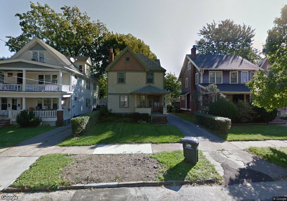
1269 Cranford Ave Lakewood, OH 44107
Estimated Value: $255,000 - $305,360
3
Beds
1
Bath
1,268
Sq Ft
$228/Sq Ft
Est. Value
About This Home
This home is located at 1269 Cranford Ave, Lakewood, OH 44107 and is currently estimated at $288,840, approximately $227 per square foot. 1269 Cranford Ave is a home located in Cuyahoga County with nearby schools including Lincoln Elementary School, Harding Middle School, and Lakewood High School.
Ownership History
Date
Name
Owned For
Owner Type
Purchase Details
Closed on
Dec 21, 1992
Sold by
Patton Robert J
Bought by
Patton Robert J
Current Estimated Value
Purchase Details
Closed on
May 25, 1990
Sold by
Miller William C
Bought by
Patton Robert J
Purchase Details
Closed on
Jul 22, 1983
Sold by
Feeley Elizabeth A
Bought by
Miller William C
Purchase Details
Closed on
Nov 18, 1980
Sold by
Feeley Joseph P and Feeley Elizabeth A
Bought by
Feeley Elizabeth A
Purchase Details
Closed on
Jan 1, 1975
Bought by
Feeley Joseph P and Feeley Elizabeth A
Create a Home Valuation Report for This Property
The Home Valuation Report is an in-depth analysis detailing your home's value as well as a comparison with similar homes in the area
Home Values in the Area
Average Home Value in this Area
Purchase History
| Date | Buyer | Sale Price | Title Company |
|---|---|---|---|
| Patton Robert J | -- | -- | |
| Patton Robert J | $75,000 | -- | |
| Miller William C | $56,000 | -- | |
| Feeley Elizabeth A | -- | -- | |
| Feeley Joseph P | -- | -- |
Source: Public Records
Tax History Compared to Growth
Tax History
| Year | Tax Paid | Tax Assessment Tax Assessment Total Assessment is a certain percentage of the fair market value that is determined by local assessors to be the total taxable value of land and additions on the property. | Land | Improvement |
|---|---|---|---|---|
| 2024 | $5,600 | $87,185 | $19,600 | $67,585 |
| 2023 | $4,924 | $65,600 | $14,810 | $50,790 |
| 2022 | $4,955 | $65,590 | $14,810 | $50,790 |
| 2021 | $4,905 | $65,590 | $14,810 | $50,790 |
| 2020 | $4,350 | $50,860 | $11,480 | $39,380 |
| 2019 | $4,264 | $145,300 | $32,800 | $112,500 |
| 2018 | $4,020 | $50,860 | $11,480 | $39,380 |
| 2017 | $3,809 | $41,340 | $9,310 | $32,030 |
| 2016 | $3,783 | $41,340 | $9,310 | $32,030 |
| 2015 | $3,580 | $41,340 | $9,310 | $32,030 |
| 2014 | $3,580 | $37,590 | $8,470 | $29,120 |
Source: Public Records
Map
Nearby Homes
- 1244 Brockley Ave
- 16119 Clifton Blvd
- 1227 Ethel Ave
- 1271 Edwards Ave
- 1269 Virginia Ave
- 1305 Virginia Ave
- 1431 Northland Ave
- 1437 Woodward Ave
- 1085 Lakeland Ave
- 1081 Lakeland Ave
- 1420 Cordova Ave
- 1507 Orchard Grove Ave
- 1337 Cook Ave
- 1500 Lauderdale Ave
- 1209 Warren Rd
- 1205 Warren Rd
- 1547 Orchard Grove Ave
- 1542 Westwood Ave
- 14724 Clifton Blvd
- 1563 Wagar Ave
- 1263 Cranford Ave
- 1273 Cranford Ave
- 1261 Cranford Ave
- 1277 Cranford Ave
- 1268 Brockley Ave
- 1257 Cranford Ave
- 1281 Cranford Ave
- 1266 Brockley Ave
- 1272 Brockley Ave
- 1260 Brockley Ave
- 1276 Brockley Ave
- 1253 Cranford Ave
- 1285 Cranford Ave
- 1287 Cranford Ave
- 1285 1287 Cranford Ave
- 1256 Brockley Ave
- 1280 Brockley Ave
- 1270 Cranford Ave
- 1276 Cranford Ave
- 1252 Brockley Ave