127 Bashekee Dr Unit D Grover, NC 28073
Estimated Value: $266,000 - $352,000
--
Bed
--
Bath
2,356
Sq Ft
$128/Sq Ft
Est. Value
About This Home
This home is located at 127 Bashekee Dr Unit D, Grover, NC 28073 and is currently estimated at $302,736, approximately $128 per square foot. 127 Bashekee Dr Unit D is a home located in Cleveland County with nearby schools including Grover Elementary School, Kings Mountain Middle, and Kings Mountain Intermediate School.
Ownership History
Date
Name
Owned For
Owner Type
Purchase Details
Closed on
Mar 11, 2019
Sold by
Lail Carla Patrick and Whistnant Mark
Bought by
Lail Scott T
Current Estimated Value
Home Financials for this Owner
Home Financials are based on the most recent Mortgage that was taken out on this home.
Original Mortgage
$117,000
Interest Rate
4.4%
Mortgage Type
New Conventional
Create a Home Valuation Report for This Property
The Home Valuation Report is an in-depth analysis detailing your home's value as well as a comparison with similar homes in the area
Home Values in the Area
Average Home Value in this Area
Purchase History
| Date | Buyer | Sale Price | Title Company |
|---|---|---|---|
| Lail Scott T | -- | None Available |
Source: Public Records
Mortgage History
| Date | Status | Borrower | Loan Amount |
|---|---|---|---|
| Closed | Lail Scott T | $117,000 |
Source: Public Records
Tax History Compared to Growth
Tax History
| Year | Tax Paid | Tax Assessment Tax Assessment Total Assessment is a certain percentage of the fair market value that is determined by local assessors to be the total taxable value of land and additions on the property. | Land | Improvement |
|---|---|---|---|---|
| 2025 | $1,778 | $279,991 | $34,048 | $245,943 |
| 2024 | $1,476 | $175,555 | $19,808 | $155,747 |
| 2023 | $1,469 | $175,555 | $19,808 | $155,747 |
| 2022 | $1,469 | $175,555 | $19,808 | $155,747 |
| 2021 | $1,474 | $175,555 | $19,808 | $155,747 |
| 2020 | $1,200 | $136,063 | $15,600 | $120,463 |
| 2019 | $1,200 | $136,063 | $15,600 | $120,463 |
| 2018 | $1,195 | $136,063 | $15,600 | $120,463 |
| 2017 | $1,189 | $136,063 | $15,600 | $120,463 |
| 2016 | $1,137 | $136,063 | $15,600 | $120,463 |
| 2015 | $1,198 | $143,798 | $15,600 | $128,198 |
| 2014 | $1,198 | $143,798 | $15,600 | $128,198 |
Source: Public Records
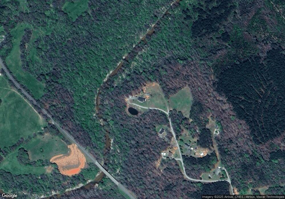
Map
Nearby Homes
- 433 Foster Lake Rd
- 1227 Lavender Rd
- 243 Laren Rd
- 00 Mallard Dr
- 1085 Bridges Rd
- 1100 Blacksburg Rd
- 110 Ritchie Dr
- 603 Tribal Rd
- 614 Tribal Rd
- 410 Crow Rd
- 442 Gibbons Rd
- 0 Crow Rd
- TBD Lyman Dr
- 164 Blackburn Dr
- 0 Henson Rd
- 00 Bunny Run
- 000 N Mountain St
- 2923 G B Blanton Rd
- 219 Watterson Rd
- 102 Roseborough Rd
- 125 Bashekee Dr
- 125 Bashekee Dr
- 115 Bashekee Dr
- 118 Bashekee Dr Unit D
- 138 Buffalo Creek Rd
- 131 Buffalo Creek Rd
- 1781 N Mountain St
- 111 Buffalo Creek Rd
- 3041 Blacksburg Rd
- 3052 Blacksburg Rd
- 3052 Blacksburg Rd
- 126 Buffalo Creek Rd
- 126 Judd Rd
- 121 Judd Rd
- 1783 N Mountain St
- 1732 N Mountain St
- 3029 Blacksburg Rd
- 3026 Blacksburg Rd
- 161 Holly Ridge Rd
- 3027 Blacksburg Rd