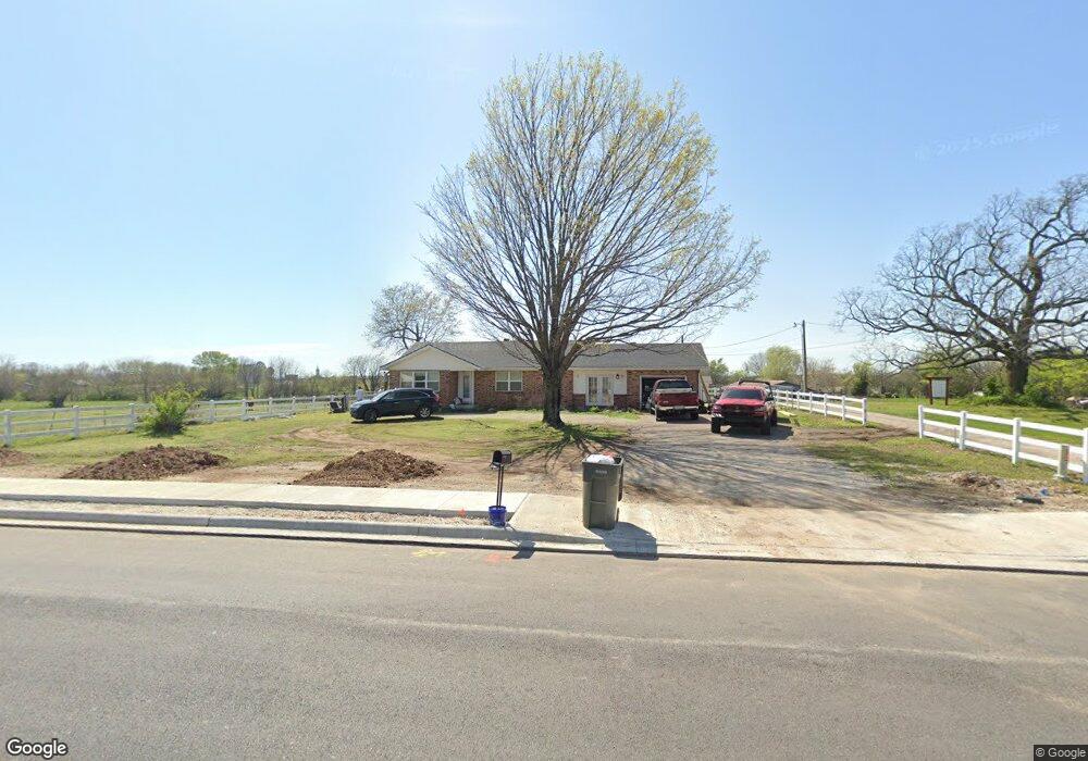
12701 N Highway 170 Farmington, AR 72730
Estimated Value: $265,000 - $588,000
--
Bed
1
Bath
1,425
Sq Ft
$290/Sq Ft
Est. Value
About This Home
This home is located at 12701 N Highway 170, Farmington, AR 72730 and is currently estimated at $412,891, approximately $289 per square foot. 12701 N Highway 170 is a home located in Washington County with nearby schools including Randall G. Lynch Middle School, Bob Folsom Elementary School, and Farmington Jr. High.
Ownership History
Date
Name
Owned For
Owner Type
Purchase Details
Closed on
Feb 2, 2006
Sold by
Cosby William Charles and Cosby Beverly Ann
Bought by
Cosby William Charles and Cosby Beverly Ann
Current Estimated Value
Purchase Details
Closed on
Feb 16, 1987
Bought by
Cosby Lena Elizabeth and Cosby William Charles
Purchase Details
Closed on
Jan 1, 1985
Bought by
Cosby Will and Cosby Lena E
Create a Home Valuation Report for This Property
The Home Valuation Report is an in-depth analysis detailing your home's value as well as a comparison with similar homes in the area
Home Values in the Area
Average Home Value in this Area
Purchase History
| Date | Buyer | Sale Price | Title Company |
|---|---|---|---|
| Cosby William Charles | -- | None Available | |
| Cosby Lena Elizabeth | -- | -- | |
| Cosby Will | -- | -- |
Source: Public Records
Tax History Compared to Growth
Tax History
| Year | Tax Paid | Tax Assessment Tax Assessment Total Assessment is a certain percentage of the fair market value that is determined by local assessors to be the total taxable value of land and additions on the property. | Land | Improvement |
|---|---|---|---|---|
| 2025 | $2,362 | $56,490 | $16,290 | $40,200 |
| 2024 | $2,202 | $56,490 | $16,290 | $40,200 |
| 2023 | $2,105 | $56,490 | $16,290 | $40,200 |
| 2022 | $1,913 | $36,290 | $12,220 | $24,070 |
| 2021 | $1,776 | $36,290 | $12,220 | $24,070 |
| 2020 | $1,628 | $36,290 | $12,220 | $24,070 |
| 2019 | $1,486 | $27,600 | $7,160 | $20,440 |
| 2018 | $1,339 | $24,750 | $7,160 | $17,590 |
| 2017 | $133 | $24,750 | $7,160 | $17,590 |
| 2016 | $1,327 | $24,750 | $7,160 | $17,590 |
| 2015 | $1,327 | $24,750 | $7,160 | $17,590 |
| 2014 | $1,212 | $22,620 | $6,850 | $15,770 |
Source: Public Records
Map
Nearby Homes
- 271 Greenfield Ave
- 10948 Blue Sky Rd
- 311 S Sundown Dr
- 216 Idaho Ave
- 142 N Sheep Dog Ave
- 485 W Branta St
- 93 Old Depot Rd
- 48 Cedar St
- 237 Briarhill Dr
- 285 Briarhill Dr
- 201 Countryside Dr
- 10800 Blue Sky Rd
- TBD White St
- 275 S Nightfall Ave
- 9 Bois d Arc St
- 303 S Coventry Ave
- Rye 1903 Plan at The Grove at Engles Mill
- Ouachita 1669 Plan at The Grove at Engles Mill
- Cache 1788 Plan at The Grove at Engles Mill
- Degray 1757 Plan at The Grove at Engles Mill
- 427 S Hunter St
- 12710 N Highway 170
- 1 W Rainsong St
- 421 S Hunter St
- 5 W Rainsong St
- Lot 5 Rainsong
- 9 W Rainsong St
- 9 & 17 W Rainsong St
- 17 W Rainsong St
- 19 W Rainsong St
- 21 W Rainsong St
- 2 & 4 Rainsong St
- 2/4 & 6/8 Rainsong St
- 2 W Rainsong St
- 2 W Rainsong St
- 2.2 Acres W Rainsong St
- 2 W Rainsong St
- 6 & 8 Rainsong St
- 10 W Rainsong St
- Lot 4 W Rainsong St