128 Lunceford Cir Dahlonega, GA 30533
Estimated Value: $175,589 - $382,000
--
Bed
1
Bath
972
Sq Ft
$320/Sq Ft
Est. Value
About This Home
This home is located at 128 Lunceford Cir, Dahlonega, GA 30533 and is currently estimated at $311,147, approximately $320 per square foot. 128 Lunceford Cir is a home located in Lumpkin County with nearby schools including Clay County Middle School and Lumpkin County High School.
Ownership History
Date
Name
Owned For
Owner Type
Purchase Details
Closed on
Sep 9, 2003
Sold by
Davis Shirley Ann
Bought by
Davis Ronald G
Current Estimated Value
Purchase Details
Closed on
Apr 17, 1992
Sold by
Lunceford David W
Bought by
Davis Shirley Ann
Purchase Details
Closed on
Aug 22, 1990
Bought by
Lunceford David W
Create a Home Valuation Report for This Property
The Home Valuation Report is an in-depth analysis detailing your home's value as well as a comparison with similar homes in the area
Home Values in the Area
Average Home Value in this Area
Purchase History
| Date | Buyer | Sale Price | Title Company |
|---|---|---|---|
| Davis Ronald G | -- | -- | |
| Davis Shirley Ann | $10,200 | -- | |
| Lunceford David W | -- | -- |
Source: Public Records
Tax History Compared to Growth
Tax History
| Year | Tax Paid | Tax Assessment Tax Assessment Total Assessment is a certain percentage of the fair market value that is determined by local assessors to be the total taxable value of land and additions on the property. | Land | Improvement |
|---|---|---|---|---|
| 2024 | -- | $50,480 | $14,170 | $36,310 |
| 2023 | $0 | $48,432 | $14,170 | $34,262 |
| 2022 | $1,102 | $44,528 | $14,170 | $30,358 |
| 2021 | $1,077 | $37,960 | $11,336 | $26,624 |
| 2020 | $1,062 | $37,418 | $11,336 | $26,082 |
| 2019 | $823 | $37,418 | $11,336 | $26,082 |
| 2018 | $988 | $34,819 | $11,336 | $23,483 |
| 2017 | $0 | $34,706 | $11,336 | $23,370 |
| 2016 | $932 | $33,154 | $11,336 | $21,818 |
| 2015 | $870 | $33,154 | $11,336 | $21,818 |
| 2014 | $870 | $35,012 | $11,336 | $23,676 |
| 2013 | -- | $35,315 | $11,336 | $23,979 |
Source: Public Records
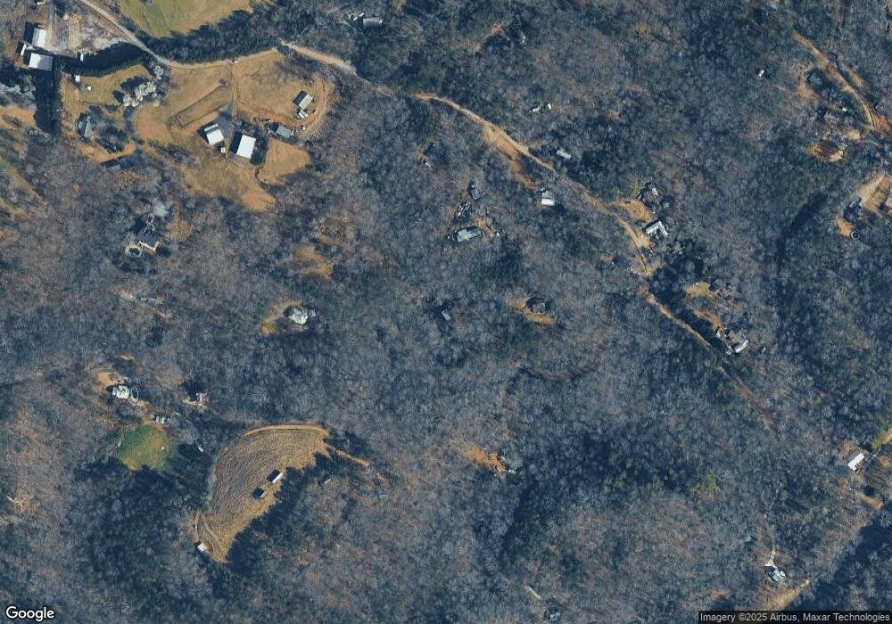
Map
Nearby Homes
- 45 Chestatee River Ridge
- 64 Highview Ln
- 16 Welch Cir
- 1063 Grindle Bridge Rd
- 380 Copper Mill Rd
- 202 Indian Trail
- 0 Arborwood Dr Unit 10645890
- 86.99 Acres Mincie Mountain
- 83 Austin Ct
- 296 Norman Bell Rd
- 31 Valhalla Dr
- 0 Waterfall Dr Unit 9 10472076
- 0 Valhalla Dr Unit 10640791
- 128 Young Deer Dr
- 651 Hester Rd
- 349 Hester Rd
- 87 Tolleffs Trail
- 0 Roseberry Ln
- 126 Lunceford Cir
- LOT 1 Lewis Grindle
- 17+-ac Lewis Grindle Rd
- 52 Lewis Grindle Rd
- 431 Lewis Grindle Rd
- 391 Lewis Grindle Rd
- 483 Lewis Grindle Rd
- 535 Lewis Grindle Rd
- 385 Lunceford Cir
- 193 Hide Away Rd
- 228 Lewis Grindle Rd
- 583 Lewis Grindle Rd
- 615 Lewis Grindle Rd Unit 65
- 615 Lewis Grindle Rd
- 56 Beasley Ln
- 56 Beasley Ln Unit 3,4
- 191 Hide Away Rd
- 234 Hide Away Rd
- 4 Beasley Ln
- 114 Laurel Ct