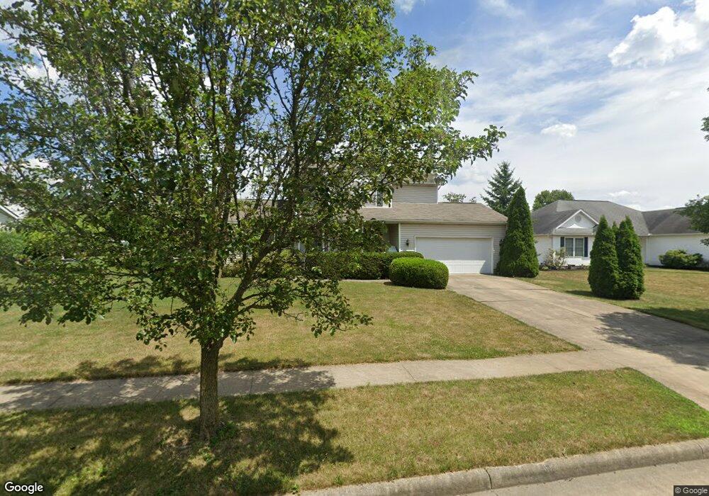
1282 Winding Ridge Ave Louisville, OH 44641
Estimated Value: $267,000 - $306,000
3
Beds
3
Baths
1,688
Sq Ft
$170/Sq Ft
Est. Value
About This Home
This home is located at 1282 Winding Ridge Ave, Louisville, OH 44641 and is currently estimated at $287,628, approximately $170 per square foot. 1282 Winding Ridge Ave is a home located in Stark County with nearby schools including Louisville High School and St. Thomas Aquinas High School & Middle School.
Ownership History
Date
Name
Owned For
Owner Type
Purchase Details
Closed on
Aug 26, 2002
Sold by
Lemmon & Lemmon Inc
Bought by
Bennett Robert P
Current Estimated Value
Home Financials for this Owner
Home Financials are based on the most recent Mortgage that was taken out on this home.
Original Mortgage
$146,000
Outstanding Balance
$58,804
Interest Rate
5.75%
Mortgage Type
Purchase Money Mortgage
Estimated Equity
$228,824
Purchase Details
Closed on
Sep 7, 2001
Sold by
Mckinley Development Company
Bought by
Lemmon & Lemmon Inc
Create a Home Valuation Report for This Property
The Home Valuation Report is an in-depth analysis detailing your home's value as well as a comparison with similar homes in the area
Home Values in the Area
Average Home Value in this Area
Purchase History
| Date | Buyer | Sale Price | Title Company |
|---|---|---|---|
| Bennett Robert P | $153,900 | -- | |
| Lemmon & Lemmon Inc | $34,900 | -- |
Source: Public Records
Mortgage History
| Date | Status | Borrower | Loan Amount |
|---|---|---|---|
| Open | Bennett Robert P | $146,000 |
Source: Public Records
Tax History Compared to Growth
Tax History
| Year | Tax Paid | Tax Assessment Tax Assessment Total Assessment is a certain percentage of the fair market value that is determined by local assessors to be the total taxable value of land and additions on the property. | Land | Improvement |
|---|---|---|---|---|
| 2025 | -- | $81,690 | $28,070 | $53,620 |
| 2024 | -- | $81,690 | $28,070 | $53,620 |
| 2023 | $2,158 | $59,370 | $16,630 | $42,740 |
| 2022 | $1,086 | $59,370 | $16,630 | $42,740 |
| 2021 | $2,180 | $59,370 | $16,630 | $42,740 |
| 2020 | $1,798 | $54,880 | $14,980 | $39,900 |
| 2019 | $1,807 | $54,880 | $14,980 | $39,900 |
| 2018 | $1,799 | $54,880 | $14,980 | $39,900 |
| 2017 | $1,584 | $47,750 | $11,730 | $36,020 |
| 2016 | $1,625 | $47,750 | $11,730 | $36,020 |
| 2015 | $1,631 | $47,750 | $11,730 | $36,020 |
| 2014 | $1,565 | $43,200 | $10,610 | $32,590 |
| 2013 | $786 | $43,200 | $10,610 | $32,590 |
Source: Public Records
Map
Nearby Homes
- 910 Crosswyck Cir
- 1170 Winding Ridge Ave
- 316 E Reno Dr
- 428 Honeycrisp Dr NE
- 3047 Mcintosh Dr NE
- 432 Honeycrisp Dr NE
- 2962 Mcintosh Dr NE
- 2963 Mcintosh Dr NE
- 430 Honeycrisp Dr NE
- 2957 Mcintosh Dr NE
- 0 Michigan Blvd
- 5474 Ravenna Ave
- 325 Lincoln Ave
- 300 Kennedy St
- 524 Glenbar St
- 614 Reno Dr
- 308 Superior St
- 0 Glenbar St
- 2015 E Main St
- 0 Brookridge Ave
- 1274 Winding Ridge Ave
- 1296 Winding Ridge Ave
- 1266 Winding Ridge Ave
- 917 Crosswyck Cir
- 1285 Cheverton Ave
- 1275 Cheverton Ave
- 1295 Cheverton Ave
- 1004 E Reno Dr
- 1256 Winding Ridge Ave
- 1002 Crosswyck Cir
- 1265 Cheverton Ave
- 1284 Cheverton Ave
- 1276 Cheverton Ave
- 1294 Cheverton Ave
- 905 Crosswyck Cir
- 1019 E Reno Dr
- 1019 Reno Dr
- 1103 E Reno Dr
- 1255 Cheverton Ave
- 1268 Cheverton Ave