1285 Wrightstown Rd Newtown, PA 18940
Estimated Value: $1,003,000 - $1,199,797
4
Beds
3
Baths
2,518
Sq Ft
$444/Sq Ft
Est. Value
About This Home
This home is located at 1285 Wrightstown Rd, Newtown, PA 18940 and is currently estimated at $1,117,266, approximately $443 per square foot. 1285 Wrightstown Rd is a home located in Bucks County with nearby schools including Wrightstown Elementary School, Newtown Middle School, and Council Rock High School North.
Ownership History
Date
Name
Owned For
Owner Type
Purchase Details
Closed on
Jul 19, 2005
Sold by
Fisher Shirley
Bought by
Roach Margie and Roach Glenn
Current Estimated Value
Purchase Details
Closed on
Jan 4, 2005
Sold by
Fisher Della Cramer and Fisher Shirley
Bought by
Fisher Shirley
Create a Home Valuation Report for This Property
The Home Valuation Report is an in-depth analysis detailing your home's value as well as a comparison with similar homes in the area
Home Values in the Area
Average Home Value in this Area
Purchase History
| Date | Buyer | Sale Price | Title Company |
|---|---|---|---|
| Roach Margie | -- | -- | |
| Fisher Shirley | -- | -- |
Source: Public Records
Tax History Compared to Growth
Tax History
| Year | Tax Paid | Tax Assessment Tax Assessment Total Assessment is a certain percentage of the fair market value that is determined by local assessors to be the total taxable value of land and additions on the property. | Land | Improvement |
|---|---|---|---|---|
| 2025 | $11,287 | $63,910 | $4,760 | $59,150 |
| 2024 | $11,287 | $63,910 | $4,760 | $59,150 |
| 2023 | $10,810 | $63,910 | $4,760 | $59,150 |
| 2022 | $10,704 | $63,910 | $4,760 | $59,150 |
| 2021 | $10,539 | $121,730 | $62,580 | $59,150 |
| 2020 | $10,288 | $121,730 | $62,580 | $59,150 |
| 2019 | $10,052 | $121,730 | $62,580 | $59,150 |
| 2018 | $9,867 | $121,730 | $62,580 | $59,150 |
| 2017 | $9,478 | $121,730 | $62,580 | $59,150 |
| 2016 | $9,478 | $121,730 | $62,580 | $59,150 |
| 2015 | -- | $121,730 | $62,580 | $59,150 |
| 2014 | -- | $119,330 | $62,580 | $56,750 |
Source: Public Records
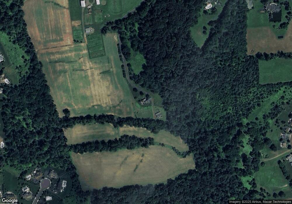
Map
Nearby Homes
- 288 Jane Chapman Dr E Unit E
- 101 Laurel Cir
- 401 Society Place Unit A1
- 2212 Society Place Unit D2
- 702 Society Place Unit A2
- 0 Augusta Dr Unit KINGSWOOD
- 0 Augusta Dr Unit MAYWEATHER
- 0 Augusta Dr Unit RAINTREE
- 0 Augusta Dr Unit CLOVERFIELD
- 0 Augusta Dr Unit ROLLINS
- 0 Augusta Dr Unit LANEY
- Raintree Plan at Lyondale Meadows
- Kingswood Plan at Lyondale Meadows
- Cloverfield Plan at Lyondale Meadows
- Laney Plan at Lyondale Meadows
- Mayweather Plan at Lyondale Meadows
- Rollins Plan at Lyondale Meadows
- 309 Matthews Ln
- 316 Monterey Place
- 95 Rittenhouse Cir Unit 92
- 106 Abraham Dr
- 1247 Wrightstown Rd
- 18 Susanna Way
- 1321 Wrightstown Rd
- 105 Abraham Dr
- 104 Abraham Dr
- 28 Stoopville Rd
- 24 Stoopville Rd
- 22 Stoopville Rd
- 22 Susanna Way
- 20 Stoopville Rd
- 101 Abraham Dr
- 280 Jane Chapman Dr E
- 24 Susanna Way
- 212 Jane Chapman Dr E
- 216 Jane Chapman Dr E
- 26 Susanna Way
- 100 Abraham Dr
- 12 Stoopville Rd
- 284 Jane Chapman Dr E