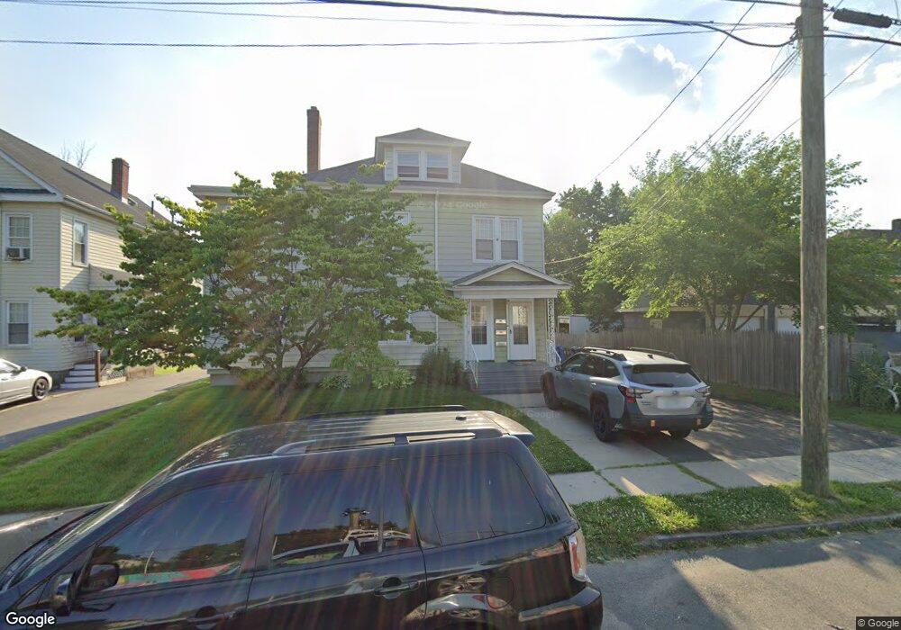
129 Monroe St Unit 131 Hartford, CT 06114
South West NeighborhoodEstimated Value: $319,738 - $504,000
4
Beds
2
Baths
3,514
Sq Ft
$112/Sq Ft
Est. Value
About This Home
This home is located at 129 Monroe St Unit 131, Hartford, CT 06114 and is currently estimated at $393,185, approximately $111 per square foot. 129 Monroe St Unit 131 is a home located in Hartford County with nearby schools including Kennelly School, Environmental Sciences Magnet School at Mary Hooker, and Sanchez School.
Ownership History
Date
Name
Owned For
Owner Type
Purchase Details
Closed on
Jul 28, 2003
Sold by
Glanville William and Glanville Margaret
Bought by
Alveranga Monica
Current Estimated Value
Home Financials for this Owner
Home Financials are based on the most recent Mortgage that was taken out on this home.
Original Mortgage
$177,219
Interest Rate
5.27%
Mortgage Type
Purchase Money Mortgage
Create a Home Valuation Report for This Property
The Home Valuation Report is an in-depth analysis detailing your home's value as well as a comparison with similar homes in the area
Home Values in the Area
Average Home Value in this Area
Purchase History
| Date | Buyer | Sale Price | Title Company |
|---|---|---|---|
| Alveranga Monica | $180,000 | -- |
Source: Public Records
Mortgage History
| Date | Status | Borrower | Loan Amount |
|---|---|---|---|
| Open | Alveranga Monica | $145,974 | |
| Closed | Alveranga Monica | $23,253 | |
| Closed | Alveranga Monica | $177,472 | |
| Closed | Alveranga Monica | $177,219 |
Source: Public Records
Tax History Compared to Growth
Tax History
| Year | Tax Paid | Tax Assessment Tax Assessment Total Assessment is a certain percentage of the fair market value that is determined by local assessors to be the total taxable value of land and additions on the property. | Land | Improvement |
|---|---|---|---|---|
| 2025 | $7,282 | $105,620 | $8,195 | $97,425 |
| 2024 | $7,282 | $105,620 | $8,195 | $97,425 |
| 2023 | $7,282 | $105,620 | $8,195 | $97,425 |
| 2022 | $7,282 | $105,619 | $8,195 | $97,424 |
| 2021 | $5,710 | $76,860 | $11,235 | $65,625 |
| 2020 | $5,710 | $76,860 | $11,235 | $65,625 |
| 2019 | $5,710 | $76,860 | $11,235 | $65,625 |
| 2018 | $5,517 | $74,269 | $10,856 | $63,413 |
| 2016 | $5,339 | $71,861 | $10,340 | $61,521 |
| 2015 | $5,085 | $68,447 | $9,848 | $58,599 |
| 2014 | $4,961 | $66,774 | $9,608 | $57,166 |
Source: Public Records
Map
Nearby Homes
- 510 New Britain Ave
- 147 Newbury St Unit 149
- 405 W Preston St Unit 407
- 634 New Britain Ave
- 60 Coolidge St
- 647 Broadview Terrace
- 90 Harwich St Unit 92
- 148 Princeton St
- 111 Coolidge St
- 87 Grandview Terrace Unit 89
- 452 Broadview Terrace
- 110 Coolidge St
- 90 Salem St
- 111 Harvard St
- 89 Sequin St
- 49 Newbury St Unit 51
- 120 Nilan St
- 46 Arlington St Unit 48
- 50 Harwich St
- 25 Cumberland St
- 135 Monroe St Unit 137
- 67 Ansonia St Unit 69
- 141 Monroe St
- 63 Ansonia St Unit 65
- 71 Ansonia St Unit 73
- 510 Hillside Ave Unit 512
- 147 Monroe St
- 67-69 Ansonia St
- 518 Hillside Ave Unit 520
- 120 Monroe St Unit 122
- 75 Ansonia St Unit 77
- 514 Hillside Ave Unit 516
- 79 Ansonia St Unit 81
- 51 Ansonia St Unit 53
- 153 Monroe St
- 83 Ansonia St
- 522 Hillside Ave Unit 524
- 526 Hillside Ave Unit 528
- 157 Monroe St
- 530 Hillside Ave