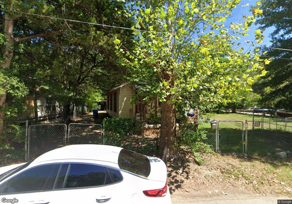
129 Payton St Lufkin, TX 75901
Estimated Value: $107,657 - $161,000
--
Bed
5
Baths
1,380
Sq Ft
$101/Sq Ft
Est. Value
About This Home
This home is located at 129 Payton St, Lufkin, TX 75901 and is currently estimated at $139,164, approximately $100 per square foot. 129 Payton St is a home located in Angelina County with nearby schools including Herty Primary School, Coston Elementary School, and Lufkin Middle School.
Ownership History
Date
Name
Owned For
Owner Type
Purchase Details
Closed on
Jan 26, 2015
Sold by
Read Royce E and Hicks Nancy Read
Bought by
Mccma Ltd
Current Estimated Value
Home Financials for this Owner
Home Financials are based on the most recent Mortgage that was taken out on this home.
Original Mortgage
$25,000
Interest Rate
3.68%
Mortgage Type
Seller Take Back
Purchase Details
Closed on
Jul 20, 2012
Sold by
Duron Jesus and Duron Maria
Bought by
Duron Jessie and Duron Mary C
Create a Home Valuation Report for This Property
The Home Valuation Report is an in-depth analysis detailing your home's value as well as a comparison with similar homes in the area
Home Values in the Area
Average Home Value in this Area
Purchase History
| Date | Buyer | Sale Price | Title Company |
|---|---|---|---|
| Mccma Ltd | -- | None Available | |
| Duron Jessie | -- | None Available |
Source: Public Records
Mortgage History
| Date | Status | Borrower | Loan Amount |
|---|---|---|---|
| Previous Owner | Mccma Ltd | $25,000 |
Source: Public Records
Tax History Compared to Growth
Tax History
| Year | Tax Paid | Tax Assessment Tax Assessment Total Assessment is a certain percentage of the fair market value that is determined by local assessors to be the total taxable value of land and additions on the property. | Land | Improvement |
|---|---|---|---|---|
| 2025 | $1,751 | $83,790 | $13,190 | $70,600 |
| 2024 | $1,713 | $81,990 | $13,190 | $68,800 |
| 2023 | $1,606 | $80,820 | $13,190 | $67,630 |
| 2022 | $1,504 | $66,050 | $6,510 | $59,540 |
| 2021 | $1,504 | $61,070 | $6,510 | $54,560 |
| 2020 | $1,324 | $53,880 | $5,090 | $48,790 |
| 2019 | $1,403 | $53,980 | $5,090 | $48,890 |
| 2018 | $1,191 | $52,250 | $5,090 | $47,160 |
| 2017 | $1,191 | $49,980 | $5,090 | $44,890 |
| 2016 | $1,161 | $48,690 | $5,090 | $43,600 |
| 2015 | $972 | $46,220 | $5,090 | $41,130 |
| 2014 | $972 | $44,700 | $5,090 | $39,610 |
Source: Public Records
Map
Nearby Homes
- 1101 N 1st St
- TBD State Highway 103
- 408 Bob St
- 521 N 1st St
- 417 Martin Luther King jr Blvd
- 333 Humason Ave
- 505 N 1st St
- 318 Lake Alley
- 329 Humason Ave
- 223 Stoney Ridge
- 902 Cain St
- 515 Martin Luther King jr Blvd
- 301 Culverhouse St
- 801 Rowe Ave
- 1123 Sayers St
- 233 N Banks St
- Lt 5.2 & 6 Treadwell Ave
- 4795 LEWIS & PO Norwood Dr
- 1706 approx. Norwood Dr
- 801 Oquinn Ave