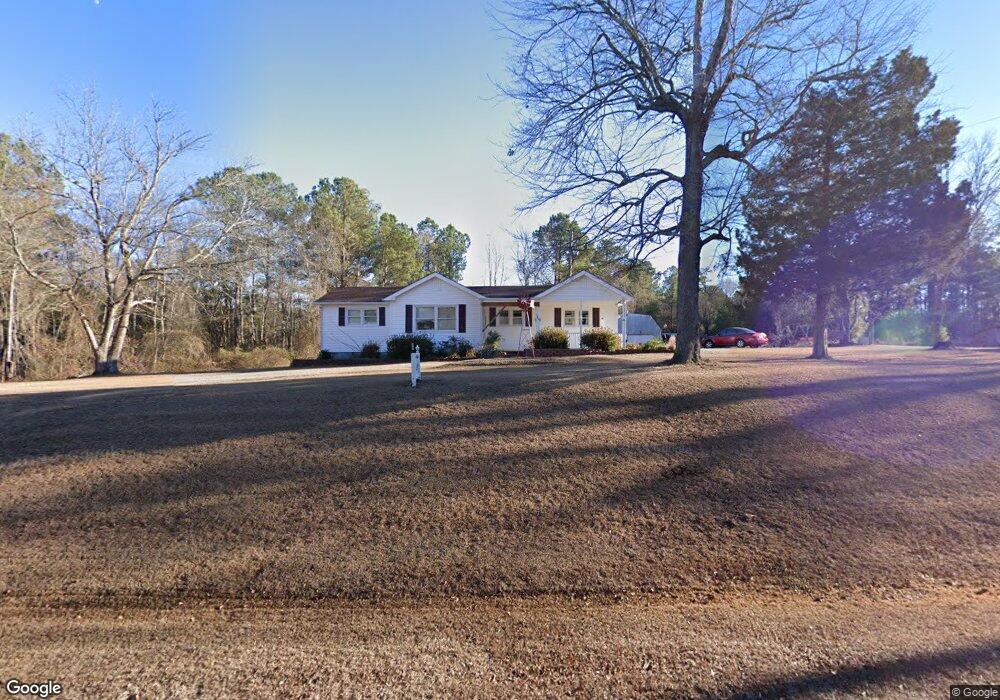
1290 Murchisontown Rd Sanford, NC 27332
Estimated Value: $236,000 - $331,000
3
Beds
2
Baths
1,900
Sq Ft
$151/Sq Ft
Est. Value
About This Home
This home is located at 1290 Murchisontown Rd, Sanford, NC 27332 and is currently estimated at $286,206, approximately $150 per square foot. 1290 Murchisontown Rd is a home located in Harnett County with nearby schools including Benhaven Elementary School, Highland Middle School, and Western Harnett High School.
Ownership History
Date
Name
Owned For
Owner Type
Purchase Details
Closed on
Dec 30, 2020
Sold by
Gibson Vann S
Bought by
Gibson Kristina M
Current Estimated Value
Home Financials for this Owner
Home Financials are based on the most recent Mortgage that was taken out on this home.
Original Mortgage
$121,800
Interest Rate
2.8%
Mortgage Type
New Conventional
Purchase Details
Closed on
Feb 26, 2007
Sold by
Gibson Kristina and Gibson Vann
Bought by
Gibson Kristina and Gibson Vann
Home Financials for this Owner
Home Financials are based on the most recent Mortgage that was taken out on this home.
Original Mortgage
$140,000
Interest Rate
6.19%
Mortgage Type
Purchase Money Mortgage
Create a Home Valuation Report for This Property
The Home Valuation Report is an in-depth analysis detailing your home's value as well as a comparison with similar homes in the area
Home Values in the Area
Average Home Value in this Area
Purchase History
| Date | Buyer | Sale Price | Title Company |
|---|---|---|---|
| Gibson Kristina M | -- | None Available | |
| Gibson Kristina | -- | None Available |
Source: Public Records
Mortgage History
| Date | Status | Borrower | Loan Amount |
|---|---|---|---|
| Closed | Gibson Kristina M | $121,800 | |
| Closed | Gibson Kristina | $140,000 |
Source: Public Records
Tax History Compared to Growth
Tax History
| Year | Tax Paid | Tax Assessment Tax Assessment Total Assessment is a certain percentage of the fair market value that is determined by local assessors to be the total taxable value of land and additions on the property. | Land | Improvement |
|---|---|---|---|---|
| 2025 | $1,327 | $174,625 | $0 | $0 |
| 2024 | $1,327 | $174,625 | $0 | $0 |
| 2023 | $1,327 | $174,625 | $0 | $0 |
| 2022 | $1,337 | $174,625 | $0 | $0 |
| 2021 | $1,337 | $145,620 | $0 | $0 |
| 2020 | $1,323 | $145,620 | $0 | $0 |
| 2019 | $1,308 | $145,620 | $0 | $0 |
| 2018 | $1,293 | $145,620 | $0 | $0 |
| 2017 | $1,293 | $145,620 | $0 | $0 |
| 2016 | $1,320 | $148,840 | $0 | $0 |
| 2015 | -- | $148,840 | $0 | $0 |
| 2014 | -- | $148,840 | $0 | $0 |
Source: Public Records
Map
Nearby Homes
- 1240 Murchisontown Rd
- 1265 Murchisontown Rd
- 1181 Murchisontown Rd
- 1130 Murchisontown Rd
- 1390 Murchisontown Rd
- 67 Pauline Cir
- 1375 Murchisontown Rd
- 208 Campbell Ln
- 37 Pauline Cir
- 1454 Murchisontown Rd
- 1411 Murchisontown Rd
- 4721 Ponderosa Rd
- 18 Pauline Cir
- 18 Nowhere Ln
- 1451 Murchisontown Rd
- 2680 Ponderosa Rd
- 19 Lineberger Ln
- 1516 Murchisontown Rd
- 4636 Ponderosa Rd
- 4545 Ponderosa Rd